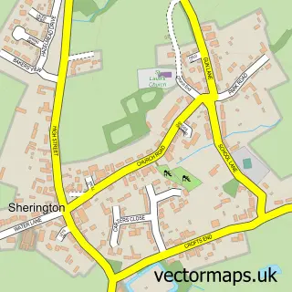
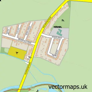
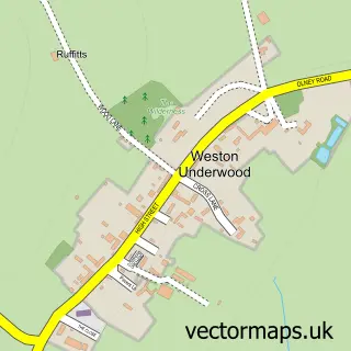
This Newport Pagnell street map is a detailed vector street map covering a 750m x 750m area. Select a larger area to create and download your own vector street map of Newport Pagnell.
The 750-metre map sample for Newport Pagnell covers 333 mapped buildings and approximately 27.5 km of road detail, of which 43 named roads are named. The immediate area includes 1 school, 1 GP surgery, with 2 within 2 miles, 12 pubs and 1 MOT station, with 10 within 2 miles. The wider area around Newport Pagnell features 5 tourism points of interest, 20 food and drink venues and 2 hotels. To create a larger or custom map of Newport Pagnell, the map builder lets you define your own coverage area and download editable SVG, PDF and PNG files.
Create a larger editable map of Newport Pagnell
Choose any area you need and generate a high-quality vector map instantly. Perfect for print, planning, design, business and personal use.

This Newport Pagnell street map in Buckinghamshire is available as downloadable SVG, PDF and PNG map files, or as a printed map for planning, business, display, education, local information and design work. You can also create a larger custom map area using the map selector.
What this Newport Pagnell map sample shows
Newport Pagnell lies within Newport Pagnell Cp parish, part of Newport Pagnell North & Hanslope ward in the Milton Keynes (B) local authority area. The postcode geography for this area includes the MK postcode area, the MK16 postcode district and the MK16 8 postcode sector. Residents fall under the Nhs Bedfordshire, Luton And Milton Keynes Integrated Care Board for NHS services.
Local features near Newport Pagnell
Within 2 milesAmenities and services in and around Newport Pagnell.
Administrative and postcode information for Newport Pagnell
The local authority covering Newport Pagnell is Milton Keynes (B), within the county of Buckinghamshire. The settlement lies within Newport Pagnell North & Hanslope ward and Newport Pagnell Cp civil parish. The MK16 postcode district and MK16 8 postcode sector serve the immediate area. NHS provision in the area is delivered through Milton Keynes University Hospital Nhs Foundation Trust.
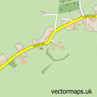
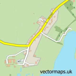
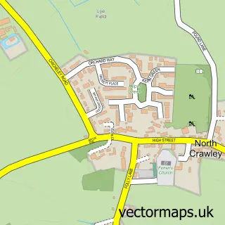
Nearby street map samples around Newport Pagnell

More street maps in Buckinghamshire
750 metre map area coverage
Boundary, postcode and point of interest information for the 750m x 750m rectangle centred on this sample map.
Boundaries containing map centre
Constituency: Milton Keynes North Co Const
District: Milton Keynes (B)
Icb: NHS Central East ICB
Parish: Newport Pagnell CP
Police Force: thames valley
Postcode District: MK16
Postcode Sector: MK16 8
Ward: Newport Pagnell South Ward
Nearby boundaries intersecting sample
Parish: Lathbury CP
Postcode Sector: MK16 0, MK16 9
Ward: Newport Pagnell North & Hanslope Ward, Olney Ward
Postcode coverage
POI category counts
Beauty Salon: 18
Real Estate Agent: 13
Pub: 12
Hair Salon: 10
Professional Services: 9
Indian Restaurant: 8
Tattoo And Piercing: 8
Accountant: 7
Barber: 7
Beauty And Spa: 6
Sample points of interest
- The Canon Public House
- Abatax
- Advance Accountants & Tax Consultants
- All Tax Accountants
- All Tax Accountants
- J E R Accounts Service
- Michael J. Emery & Co
- TaxAssist Accountants
- Fitness Class Cover Milton Keynes
- Harmony Acupuncture
- Brand Skillings
- Newport Pagnell Parish
Create a larger editable map of Newport Pagnell
This sample shows only a 750 metre area. To create a larger map of Newport Pagnell, use our map builder to choose your own coverage area, add titles and download editable SVG, PDF and PNG files.
Create a custom map of Newport Pagnell