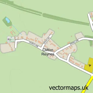
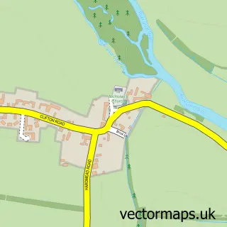
This Sherington street map is a detailed vector street map covering a 750m x 750m area. Select a larger area to create and download your own vector street map of Sherington.
The 750-metre map sample for Sherington covers 311 mapped buildings and approximately 18.9 km of road detail, of which 14 named roads are named. The immediate area includes 1 school, 1 GP surgery within 2 miles, 1 pub and 3 MOT stations within 2 miles. The wider area around Sherington features 1 tourism point of interest and 1 food and drink venue. To create a larger or custom map of Sherington, the map builder lets you define your own coverage area and download editable SVG, PDF and PNG files.
Create a larger editable map of Sherington
Choose any area you need and generate a high-quality vector map instantly. Perfect for print, planning, design, business and personal use.

This Sherington street map in Buckinghamshire is available as downloadable SVG, PDF and PNG map files, or as a printed map for planning, business, display, education, local information and design work. You can also create a larger custom map area using the map selector.
What this Sherington map sample shows
Sherington lies within Sherington Cp parish, part of Olney ward in the Milton Keynes (B) local authority area. The postcode geography for this area includes the MK postcode area, the MK16 postcode district and the MK16 9 postcode sector. Residents fall under the Nhs Bedfordshire, Luton And Milton Keynes Integrated Care Board for NHS services.
Local features near Sherington
Within 2 milesAmenities and services in and around Sherington.
Administrative and postcode information for Sherington
Sherington lies within Sherington Cp parish, part of Olney ward in the Milton Keynes (B) local authority area. The postcode geography for this area includes the MK postcode area, the MK16 postcode district and the MK16 9 postcode sector. Residents fall under the Nhs Bedfordshire, Luton And Milton Keynes Integrated Care Board for NHS services.
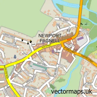
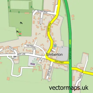
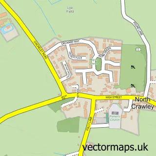
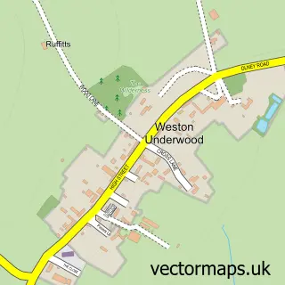
Nearby street map samples around Sherington

More street maps in Buckinghamshire
750 metre map area coverage
Boundary, postcode and point of interest information for the 750m x 750m rectangle centred on this sample map.
Boundaries containing map centre
Constituency: Milton Keynes North Co Const
District: Milton Keynes (B)
Icb: NHS Central East ICB
Parish: Sherington CP
Police Force: thames valley
Postcode District: MK16
Postcode Sector: MK16 9
Ward: Olney Ward
Nearby boundaries intersecting sample
No additional intersecting boundaries found.
Postcode coverage
POI category counts
Post Office: 2
Anglican Church: 1
Automotive Repair: 1
Bed And Breakfast: 1
Charity Organization: 1
Community Center: 1
Convenience Store: 1
Educational Services: 1
Florist: 1
Freight And Cargo Service: 1
Sample points of interest
- St Laud's
- Thomas Haynes Garage
- Montpellier House
- Milton Keynes Tourist Information
- Sherington Village Hall
- Squirrel Stores
- Cornelius & Jones
- The Flower Story
- C J Haynes & Son
- Excalibur Furniture
- Sherington Furniture Restoration
- Peter Gardner Gunsmith
Create a larger editable map of Sherington
This sample shows only a 750 metre area. To create a larger map of Sherington, use our map builder to choose your own coverage area, add titles and download editable SVG, PDF and PNG files.
Create a custom map of Sherington