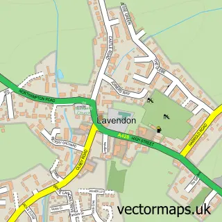
This Olney street map is a detailed vector street map covering a 750m x 750m area. Select a larger area to create and download your own vector street map of Olney.
The 750-metre map sample for Olney covers 537 mapped buildings and approximately 32.0 km of road detail, of which 44 named roads are named. The immediate area includes 1 GP surgery, 4 pubs and 1 MOT station. The wider area around Olney features 4 tourism points of interest, 17 food and drink venues and 1 hotel. To create a larger or custom map of Olney, the map builder lets you define your own coverage area and download editable SVG, PDF and PNG files.
Create a larger editable map of Olney
Choose any area you need and generate a high-quality vector map instantly. Perfect for print, planning, design, business and personal use.

This Olney street map in Buckinghamshire is available as downloadable SVG, PDF and PNG map files, or as a printed map for planning, business, display, education, local information and design work. You can also create a larger custom map area using the map selector.
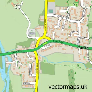
What this Olney map sample shows
Olney lies within Olney Cp parish, part of Olney ward in the Milton Keynes (B) local authority area. The postcode geography for this area includes the MK postcode area, the MK46 postcode district and the MK46 4 postcode sector. Residents fall under the Nhs Bedfordshire, Luton And Milton Keynes Integrated Care Board for NHS services.
Local features near Olney
Within 2 milesAmenities and services in and around Olney.
Administrative and postcode information for Olney
Olney lies within Olney Cp parish, part of Olney ward in the Milton Keynes (B) local authority area. The postcode geography for this area includes the MK postcode area, the MK46 postcode district and the MK46 4 postcode sector. Residents fall under the Nhs Bedfordshire, Luton And Milton Keynes Integrated Care Board for NHS services.
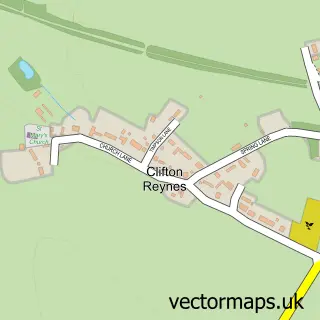
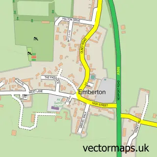
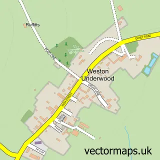
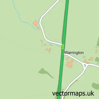
Nearby street map samples around Olney

More street maps in Buckinghamshire
750 metre map area coverage
Boundary, postcode and point of interest information for the 750m x 750m rectangle centred on this sample map.
Boundaries containing map centre
Constituency: Milton Keynes North Co Const
District: Milton Keynes (B)
Icb: NHS Central East ICB
Parish: Olney CP
Police Force: thames valley
Postcode District: MK46
Postcode Sector: MK46 4
Ward: Olney Ward
Nearby boundaries intersecting sample
Postcode Sector: MK46 5
Postcode coverage
POI category counts
Beauty Salon: 15
Hair Salon: 11
Clothing Store: 10
Professional Services: 10
Coffee Shop: 6
Convenience Store: 6
Flowers And Gifts Shop: 6
Real Estate Agent: 5
Antique Store: 4
Art Gallery: 4
Sample points of interest
- AJ Accountancy
- Levett Associates Accountants
- Olney Town Colts Sports Camps
- Alim Live
- Autonomy Multimedia
- Holmes & Cook
- Katy Webster
- The Turvey Centre
- The Horseshoe
- Antiques Centre at Olney
- Pine Antiques
- Robin Unsworth Antiques
Create a larger editable map of Olney
This sample shows only a 750 metre area. To create a larger map of Olney, use our map builder to choose your own coverage area, add titles and download editable SVG, PDF and PNG files.
Create a custom map of Olney