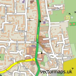
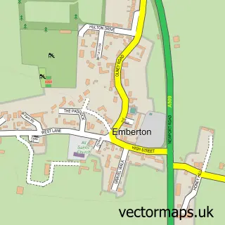
This Lavendon street map is a detailed vector street map covering a 750m x 750m area. Select a larger area to create and download your own vector street map of Lavendon.
The 750-metre map sample for Lavendon covers 339 mapped buildings and approximately 23.8 km of road detail, of which 15 named roads are named. The immediate area includes 1 school, 3 pubs and 1 MOT station. The wider area around Lavendon features 1 tourism point of interest and 3 food and drink venues. To create a larger or custom map of Lavendon, the map builder lets you define your own coverage area and download editable SVG, PDF and PNG files.
Create a larger editable map of Lavendon
Choose any area you need and generate a high-quality vector map instantly. Perfect for print, planning, design, business and personal use.

This Lavendon street map in Buckinghamshire is available as downloadable SVG, PDF and PNG map files, or as a printed map for planning, business, display, education, local information and design work. You can also create a larger custom map area using the map selector.
What this Lavendon map sample shows
Lavendon lies within Lavendon Cp parish, part of Olney ward in the Milton Keynes (B) local authority area. The postcode geography for this area includes the MK postcode area, the MK46 postcode district and the MK46 4 postcode sector. Residents fall under the Nhs Bedfordshire, Luton And Milton Keynes Integrated Care Board for NHS services.
Local features near Lavendon
Within 2 milesAmenities and services in and around Lavendon.
Administrative and postcode information for Lavendon
Lavendon lies within Lavendon Cp parish, part of Olney ward in the Milton Keynes (B) local authority area. The postcode geography for this area includes the MK postcode area, the MK46 postcode district and the MK46 4 postcode sector. Residents fall under the Nhs Bedfordshire, Luton And Milton Keynes Integrated Care Board for NHS services.
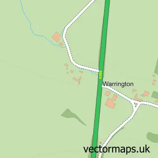
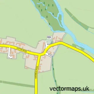
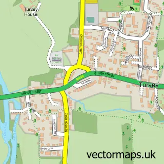
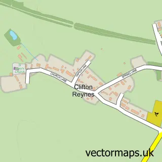
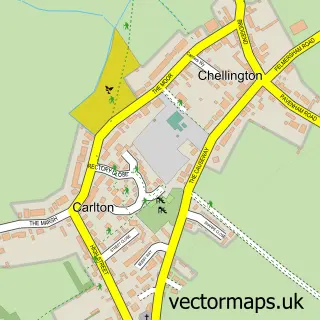
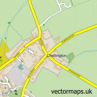
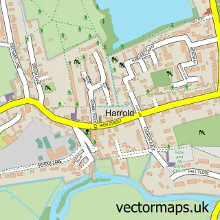
Nearby street map samples around Lavendon

More street maps in Buckinghamshire
750 metre map area coverage
Boundary, postcode and point of interest information for the 750m x 750m rectangle centred on this sample map.
Boundaries containing map centre
Constituency: Milton Keynes North Co Const
District: Milton Keynes (B)
Icb: NHS Central East ICB
Parish: Lavendon CP
Police Force: thames valley
Postcode District: MK46
Postcode Sector: MK46 4
Ward: Olney Ward
Nearby boundaries intersecting sample
Parish: Cold Brayfield CP
Postcode coverage
POI category counts
Pub: 3
Public Service And Government: 2
Shipping Center: 2
Advertising Agency: 1
Asian Fusion Restaurant: 1
Audiologist: 1
Automotive Repair: 1
Bakery: 1
Baptist Church: 1
Beverage Store: 1
Sample points of interest
- It'seeze Northampton-Bedford
- Jade Garden
- Noble and Reading Hearcare
- L W Burrows & Son
- Heavenly cakes by Amy
- Lavendon Baptist Church
- Davron Systems
- Janlin Hand Car Wash Warrington
- St Michael
- Lavendon Village Hall
- Newport Pagnell YFC
- Systemslink Two Ltd.
Create a larger editable map of Lavendon
This sample shows only a 750 metre area. To create a larger map of Lavendon, use our map builder to choose your own coverage area, add titles and download editable SVG, PDF and PNG files.
Create a custom map of Lavendon