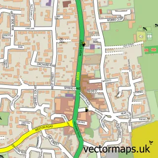
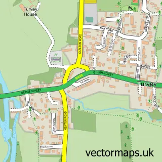
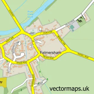
This Carlton street map is a detailed vector street map covering a 750m x 750m area. Select a larger area to create and download your own vector street map of Carlton.
The 750-metre map sample for Carlton covers 248 mapped buildings and approximately 21.8 km of road detail, of which 12 named roads are named. The immediate area includes 1 school, 1 GP surgery within 2 miles, 3 pubs and 1 MOT station within 2 miles. The wider area around Carlton features 2 tourism points of interest and 3 food and drink venues. To create a larger or custom map of Carlton, the map builder lets you define your own coverage area and download editable SVG, PDF and PNG files.
Create a larger editable map of Carlton
Choose any area you need and generate a high-quality vector map instantly. Perfect for print, planning, design, business and personal use.

This Carlton street map in Bedfordshire is available as downloadable SVG, PDF and PNG map files, or as a printed map for planning, business, display, education, local information and design work. You can also create a larger custom map area using the map selector.
What this Carlton map sample shows
Carlton lies within Carlton And Chellington Cp parish, part of Harrold ward in the Bedford (B) local authority area. The postcode geography for this area includes the MK postcode area, the MK43 postcode district and the MK43 7 postcode sector. Residents fall under the Nhs Bedfordshire, Luton And Milton Keynes Integrated Care Board for NHS services.
Local features near Carlton
Within 2 milesAmenities and services in and around Carlton.
Administrative and postcode information for Carlton
The local authority covering Carlton is Bedford (B), within the county of Bedfordshire. The settlement lies within Harrold ward and Carlton And Chellington Cp civil parish. The MK43 postcode district and MK43 7 postcode sector serve the immediate area. NHS provision in the area is delivered through Bedfordshire Hospitals Nhs Foundation Trust.
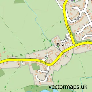
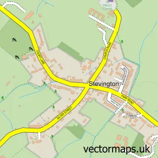
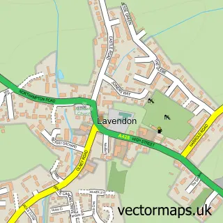
Nearby street map samples around Carlton

More street maps in Bedfordshire
750 metre map area coverage
Boundary, postcode and point of interest information for the 750m x 750m rectangle centred on this sample map.
Boundaries containing map centre
Constituency: North Bedfordshire Co Const
District: Bedford (B)
Icb: NHS Central East ICB
Parish: Carlton and Chellington CP
Police Force: bedfordshire
Postcode District: MK43
Postcode Sector: MK43 7
Ward: Harrold Ward
Nearby boundaries intersecting sample
No additional intersecting boundaries found.
Postcode coverage
POI category counts
Pub: 3
Landmark And Historical Building: 2
Art School: 1
Auto Electrical Repair: 1
Beauty Salon: 1
Bus Station: 1
Contractor: 1
Currency Exchange: 1
Dance School: 1
Elementary School: 1
Sample points of interest
- North Beds Arts
- Chris Birks Electrical Services
- Beauty at Rosewayne
- Post Office-Carlton
- D.Green Plastering
- Post Office Travel Money
- The Olney School of Dancing
- Carlton V C Lower School
- P a Mesney
- Carlton Village Shop
- Papergraphics
- Softley Kitchens
Create a larger editable map of Carlton
This sample shows only a 750 metre area. To create a larger map of Carlton, use our map builder to choose your own coverage area, add titles and download editable SVG, PDF and PNG files.
Create a custom map of Carlton