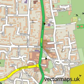
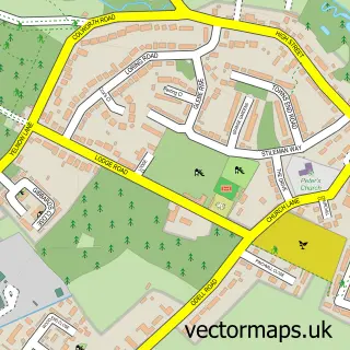
This Harrold street map is a detailed vector street map covering a 750m x 750m area. Select a larger area to create and download your own vector street map of Harrold.
The 750-metre map sample for Harrold covers 341 mapped buildings and approximately 21.2 km of road detail, of which 17 named roads are named. The immediate area includes 1 school, 1 GP surgery, 2 pubs and 1 MOT station. The wider area around Harrold features 2 food and drink venues. To create a larger or custom map of Harrold, the map builder lets you define your own coverage area and download editable SVG, PDF and PNG files.
Create a larger editable map of Harrold
Choose any area you need and generate a high-quality vector map instantly. Perfect for print, planning, design, business and personal use.

This Harrold street map in Bedfordshire is available as downloadable SVG, PDF and PNG map files, or as a printed map for planning, business, display, education, local information and design work. You can also create a larger custom map area using the map selector.
What this Harrold map sample shows
Harrold lies within Harrold Cp parish, part of Harrold ward in the Bedford (B) local authority area. The postcode geography for this area includes the MK postcode area, the MK43 postcode district and the MK43 7 postcode sector. Residents fall under the Nhs Bedfordshire, Luton And Milton Keynes Integrated Care Board for NHS services.
Local features near Harrold
Within 2 milesAmenities and services in and around Harrold.
Administrative and postcode information for Harrold
Harrold lies within Harrold Cp parish, part of Harrold ward in the Bedford (B) local authority area. The postcode geography for this area includes the MK postcode area, the MK43 postcode district and the MK43 7 postcode sector. Residents fall under the Nhs Bedfordshire, Luton And Milton Keynes Integrated Care Board for NHS services.
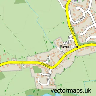
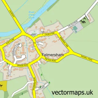
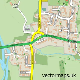
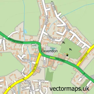
Nearby street map samples around Harrold

More street maps in Bedfordshire
750 metre map area coverage
Boundary, postcode and point of interest information for the 750m x 750m rectangle centred on this sample map.
Boundaries containing map centre
Constituency: North Bedfordshire Co Const
District: Bedford (B)
Icb: NHS Central East ICB
Parish: Harrold CP
Police Force: bedfordshire
Postcode District: MK43
Postcode Sector: MK43 7
Ward: Harrold Ward
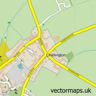
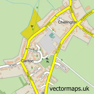
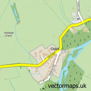
Nearby boundaries intersecting sample
Parish: Carlton and Chellington CP, Odell CP
Postcode coverage
POI category counts
Advertising Agency: 2
Hair Salon: 2
Professional Services: 2
Pub: 2
Anglican Church: 1
Assisted Living Facility: 1
Atms: 1
Automotive Repair: 1
Baptist Church: 1
Bar: 1
Sample points of interest
- Brandwork
- S B Marketing
- St Peter and All Saints
- 7 Dove Lane Care Home
- The Cooperative Food (BF) Harrold, Harrold
- Harrold Green Garage
- Harrold and Carlton Grace Baptist Church
- The Magpie Inn
- Näkemiin
- Bridgemans Bowling Club
- Historic Bridge over the Great Ouse
- Post Office-Harrold
Create a larger editable map of Harrold
This sample shows only a 750 metre area. To create a larger map of Harrold, use our map builder to choose your own coverage area, add titles and download editable SVG, PDF and PNG files.
Create a custom map of Harrold