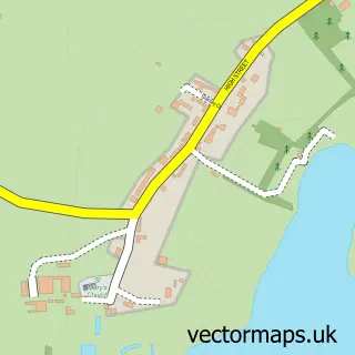
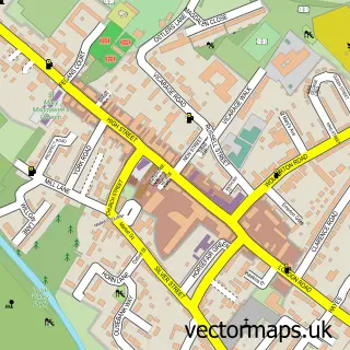
This New Haversham street map is a detailed vector street map covering a 750m x 750m area. Select a larger area to create and download your own vector street map of New Haversham.
The 750-metre map sample for New Haversham covers 167 mapped buildings and approximately 11.8 km of road detail, of which 9 named roads are named. The immediate area includes 1 school, 3 GP surgeries within 2 miles and 15 MOT stations within 2 miles. To create a larger or custom map of New Haversham, the map builder lets you define your own coverage area and download editable SVG, PDF and PNG files.
Create a larger editable map of New Haversham
Choose any area you need and generate a high-quality vector map instantly. Perfect for print, planning, design, business and personal use.

This New Haversham street map in Buckinghamshire is available as downloadable SVG, PDF and PNG map files, or as a printed map for planning, business, display, education, local information and design work. You can also create a larger custom map area using the map selector.
What this New Haversham map sample shows
New Haversham lies within Haversham-Cum-Little Linford Cp parish, part of Newport Pagnell North & Hanslope ward in the Milton Keynes (B) local authority area. The postcode geography for this area includes the MK postcode area, the MK19 postcode district and the MK19 7 postcode sector. Residents fall under the Nhs Bedfordshire, Luton And Milton Keynes Integrated Care Board for NHS services.
Local features near New Haversham
Within 2 milesAmenities and services in and around New Haversham.
Administrative and postcode information for New Haversham
The local authority covering New Haversham is Milton Keynes (B), within the county of Buckinghamshire. The settlement lies within Newport Pagnell North & Hanslope ward and Haversham-Cum-Little Linford Cp civil parish. The MK19 postcode district and MK19 7 postcode sector serve the immediate area. NHS provision in the area is delivered through Milton Keynes University Hospital Nhs Foundation Trust.
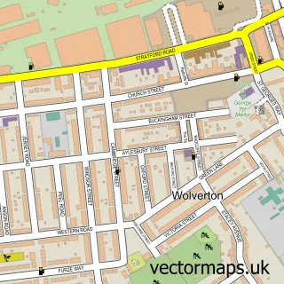
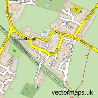
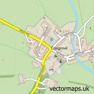
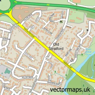
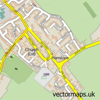
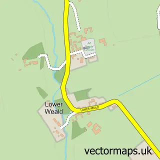
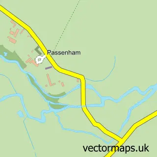
Nearby street map samples around New Haversham


More street maps in Buckinghamshire
750 metre map area coverage
Boundary, postcode and point of interest information for the 750m x 750m rectangle centred on this sample map.
Boundaries containing map centre
Constituency: Milton Keynes North Co Const
District: Milton Keynes (B)
Icb: NHS Central East ICB
Parish: Haversham-cum-Little Linford CP
Police Force: thames valley
Postcode District: MK19
Postcode Sector: MK19 7
Ward: Newport Pagnell North & Hanslope Ward
Nearby boundaries intersecting sample
Parish: New Bradwell CP, Wolverton and Greenleys CP
Postcode District: MK12, MK13
Postcode Sector: MK12 5, MK13 0
Ward: Wolverton Ward
Postcode coverage
POI category counts
Accountant: 2
Beauty Salon: 1
Building Supply Store: 1
Construction Services: 1
Electrician: 1
Elementary School: 1
Event Planning: 1
Fence And Gate Sales Service: 1
Fitness Trainer: 1
Makeup Artist: 1
Sample points of interest
- AIMS Accountants for Business
- Quantum Accounting Services
- POG Beauty
- G.A. Flack Limited
- Binzy Building Services
- Manley Electrical
- Haversham Village School
- Bosch/Siemens Headquarters
- G A Flack Ltd
- BOND Personal Training
- Krista Pressland Makeup
- Wagtails Dog Grooming
Create a larger editable map of New Haversham
This sample shows only a 750 metre area. To create a larger map of New Haversham, use our map builder to choose your own coverage area, add titles and download editable SVG, PDF and PNG files.
Create a custom map of New Haversham