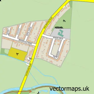
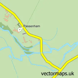
This Old Haversham street map is a detailed vector street map covering a 750m x 750m area. Select a larger area to create and download your own vector street map of Old Haversham.
The 750-metre map sample for Old Haversham covers 62 mapped buildings and approximately 8.3 km of road detail, of which 2 named roads are named. The immediate area includes 3 GP surgeries within 2 miles, 1 pub and 12 MOT stations within 2 miles. The wider area around Old Haversham features 1 food and drink venue. To create a larger or custom map of Old Haversham, the map builder lets you define your own coverage area and download editable SVG, PDF and PNG files.
Create a larger editable map of Old Haversham
Choose any area you need and generate a high-quality vector map instantly. Perfect for print, planning, design, business and personal use.

This Old Haversham street map in Buckinghamshire is available as downloadable SVG, PDF and PNG map files, or as a printed map for planning, business, display, education, local information and design work. You can also create a larger custom map area using the map selector.
What this Old Haversham map sample shows
Old Haversham lies within Haversham-Cum-Little Linford Cp parish, part of Newport Pagnell North & Hanslope ward in the Milton Keynes (B) local authority area. The postcode geography for this area includes the MK postcode area, the MK19 postcode district and the MK19 7 postcode sector. Residents fall under the Nhs Bedfordshire, Luton And Milton Keynes Integrated Care Board for NHS services.
Local features near Old Haversham
Within 2 milesAmenities and services in and around Old Haversham.
Administrative and postcode information for Old Haversham
Old Haversham lies within Haversham-Cum-Little Linford Cp parish, part of Newport Pagnell North & Hanslope ward in the Milton Keynes (B) local authority area. The postcode geography for this area includes the MK postcode area, the MK19 postcode district and the MK19 7 postcode sector. Residents fall under the Nhs Bedfordshire, Luton And Milton Keynes Integrated Care Board for NHS services.
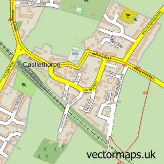
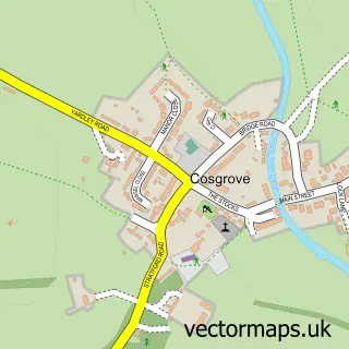
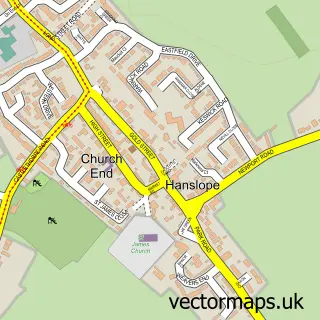
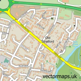
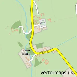
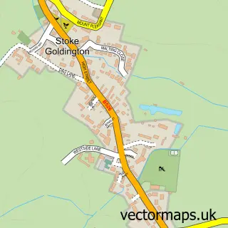
Nearby street map samples around Old Haversham

More street maps in Buckinghamshire
750 metre map area coverage
Boundary, postcode and point of interest information for the 750m x 750m rectangle centred on this sample map.
Boundaries containing map centre
Constituency: Milton Keynes North Co Const
District: Milton Keynes (B)
Icb: NHS Central East ICB
Parish: Haversham-cum-Little Linford CP
Police Force: thames valley
Postcode District: MK19
Postcode Sector: MK19 7
Ward: Newport Pagnell North & Hanslope Ward
Nearby boundaries intersecting sample
No additional intersecting boundaries found.
Postcode coverage
POI category counts
Anglican Church: 1
Dance Club: 1
Pub: 1
Sports Club And League: 1
Sample points of interest
- Haversham: St Mary
- Hedna's the vintage nightclub
- The Greyhound
- Haversham Sailing Club
Create a larger editable map of Old Haversham
This sample shows only a 750 metre area. To create a larger map of Old Haversham, use our map builder to choose your own coverage area, add titles and download editable SVG, PDF and PNG files.
Create a custom map of Old Haversham