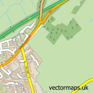
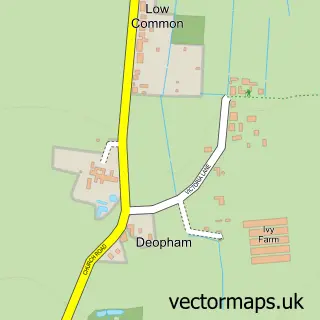
This Attleborough street map is a detailed vector street map covering a 750m x 750m area. Select a larger area to create and download your own vector street map of Attleborough.
The 750-metre map sample for Attleborough covers 547 mapped buildings and approximately 19.7 km of road detail, of which 48 named roads are named. The immediate area includes 1 GP surgery within 2 miles, 1 pub and 5 MOT stations within 2 miles. The wider area around Attleborough features 11 food and drink venues. To create a larger or custom map of Attleborough, the map builder lets you define your own coverage area and download editable SVG, PDF and PNG files.
Create a larger editable map of Attleborough
Choose any area you need and generate a high-quality vector map instantly. Perfect for print, planning, design, business and personal use.

This Attleborough street map in Norfolk is available as downloadable SVG, PDF and PNG map files, or as a printed map for planning, business, display, education, local information and design work. You can also create a larger custom map area using the map selector.
What this Attleborough map sample shows
Attleborough lies within Attleborough Cp parish, part of Attleborough Burgh & Haverscroft ward in the Breckland District local authority area. The postcode geography for this area includes the NR postcode area, the NR17 postcode district and the NR17 2 postcode sector. Residents fall under the Nhs Norfolk And Waveney Integrated Care Board for NHS services.
Local features near Attleborough
Within 2 milesAmenities and services in and around Attleborough.
Administrative and postcode information for Attleborough
The local authority covering Attleborough is Breckland District, within the county of Norfolk. The settlement lies within Attleborough Burgh & Haverscroft ward and Attleborough Cp civil parish. The NR17 postcode district and NR17 2 postcode sector serve the immediate area. NHS provision in the area is delivered through Norfolk And Norwich University Hospitals Nhs Foundation Trust.
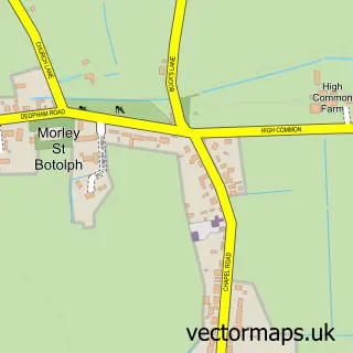
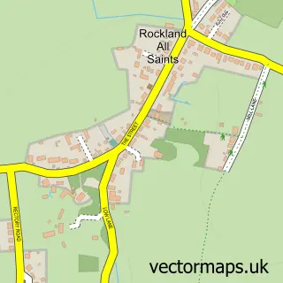
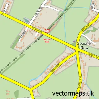
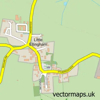
Nearby street map samples around Attleborough

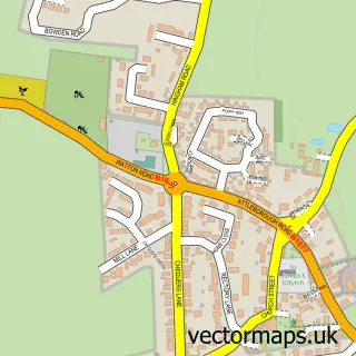
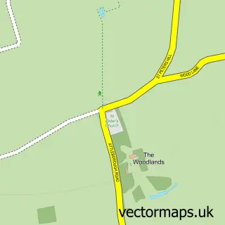
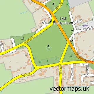
More street maps in Norfolk
750 metre map area coverage
Boundary, postcode and point of interest information for the 750m x 750m rectangle centred on this sample map.
Boundaries containing map centre
Constituency: Mid Norfolk Co Const
County: Norfolk County
District: Breckland District
Icb: NHS Norfolk and Waveney ICB
Parish: Attleborough CP
Police Force: norfolk
Postcode District: NR17
Postcode Sector: NR17 2
Ward: Attleborough Queens & Besthorpe Ward
Nearby boundaries intersecting sample
Postcode Sector: NR17 1
Ward: Attleborough Burgh & Haverscroft Ward
Postcode coverage
POI category counts
Coffee Shop: 6
Hair Salon: 5
Real Estate Agent: 5
Retail: 5
Convenience Store: 4
Gas Station: 4
Jewelry Store: 4
Accountant: 3
Appliance Store: 3
Barber: 3
Sample points of interest
- Aldercarr House B&B
- Kerry Butcher Accountancy Services
- M and A Partners
- Southgate & Co. LLP
- Vinnies
- My Outdoor Media
- RSPCA
- NBA Appliance Services
- A W Myhill
- Myhills
- myhills euronics
- SUPER SLOTS Casino Slot Experience
Create a larger editable map of Attleborough
This sample shows only a 750 metre area. To create a larger map of Attleborough, use our map builder to choose your own coverage area, add titles and download editable SVG, PDF and PNG files.
Create a custom map of Attleborough