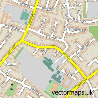
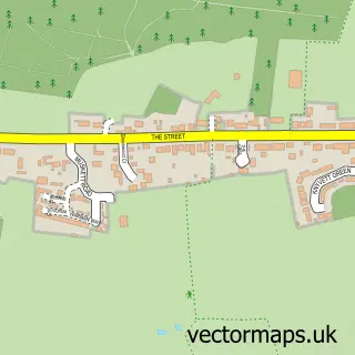
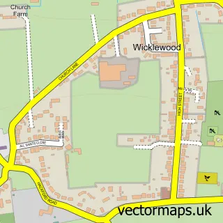
This Spooner Row street map is a detailed vector street map covering a 750m x 750m area. Select a larger area to create and download your own vector street map of Spooner Row.
The 750-metre map sample for Spooner Row covers 163 mapped buildings and approximately 12.5 km of road detail, of which 7 named roads are named. The immediate area includes 1 school, 1 railway station, 1 pub and 1 MOT station within 2 miles. The wider area around Spooner Row features 1 tourism point of interest, 1 food and drink venue and 2 hotels. To create a larger or custom map of Spooner Row, the map builder lets you define your own coverage area and download editable SVG, PDF and PNG files.
Create a larger editable map of Spooner Row
Choose any area you need and generate a high-quality vector map instantly. Perfect for print, planning, design, business and personal use.

This Spooner Row street map in Norfolk is available as downloadable SVG, PDF and PNG map files, or as a printed map for planning, business, display, education, local information and design work. You can also create a larger custom map area using the map selector.
What this Spooner Row map sample shows
Spooner Row lies within Spooner Row Cp parish, part of South Wymondham ward in the South Norfolk District local authority area. The postcode geography for this area includes the NR postcode area, the NR18 postcode district and the NR18 9 postcode sector. Residents fall under the Nhs Norfolk And Waveney Integrated Care Board for NHS services.
Local features near Spooner Row
Within 2 milesAmenities and services in and around Spooner Row.
Administrative and postcode information for Spooner Row
Spooner Row lies within Spooner Row Cp parish, part of South Wymondham ward in the South Norfolk District local authority area. The postcode geography for this area includes the NR postcode area, the NR18 postcode district and the NR18 9 postcode sector. Residents fall under the Nhs Norfolk And Waveney Integrated Care Board for NHS services.
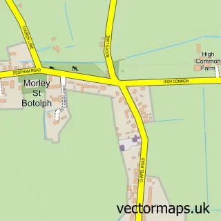
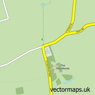
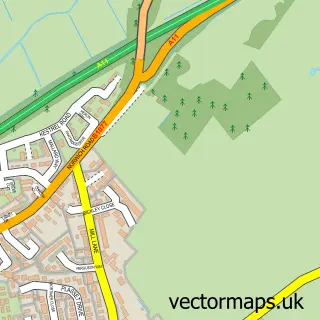
Nearby street map samples around Spooner Row

More street maps in Norfolk
750 metre map area coverage
Boundary, postcode and point of interest information for the 750m x 750m rectangle centred on this sample map.
Boundaries containing map centre
Constituency: South Norfolk Co Const
County: Norfolk County
District: South Norfolk District
Icb: NHS Norfolk and Waveney ICB
Parish: Spooner Row CP
Police Force: norfolk
Postcode District: NR18
Postcode Sector: NR18 9
Ward: South Wymondham Ward
Nearby boundaries intersecting sample
No additional intersecting boundaries found.
Postcode coverage
POI category counts
Gardener: 2
Hotel: 2
Train Station: 2
Advertising Agency: 1
Alternative Medicine: 1
Anglican Church: 1
Building Supply Store: 1
Construction Services: 1
Dance School: 1
Elementary School: 1
Sample points of interest
- Design Company
- Christine Herbert
- Spooner Row Church
- M K Andrews Concrete Pumping
- M.K.Andrews Concrete Pumping
- Simply Dance
- Spooner Row Primary School
- Wild Leo Hire and Design
- The Garden Pantry
- Gurney Reeve & Co
- M & N Horticulture
- Wing, Phillip, Landscapes
Create a larger editable map of Spooner Row
This sample shows only a 750 metre area. To create a larger map of Spooner Row, use our map builder to choose your own coverage area, add titles and download editable SVG, PDF and PNG files.
Create a custom map of Spooner Row