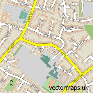
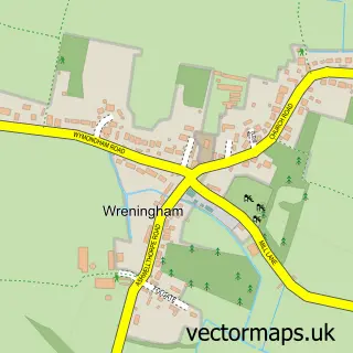
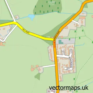
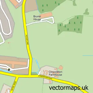
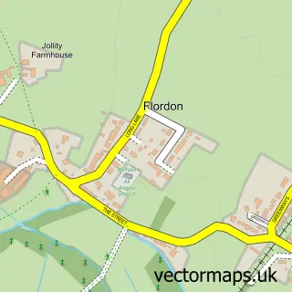
This Ashwellthorpe street map is a detailed vector street map covering a 750m x 750m area. Select a larger area to create and download your own vector street map of Ashwellthorpe.
The 750-metre map sample for Ashwellthorpe covers 132 mapped buildings and approximately 3.4 km of road detail, of which 4 named roads are named. The wider area around Ashwellthorpe features 1 tourism point of interest. To create a larger or custom map of Ashwellthorpe, the map builder lets you define your own coverage area and download editable SVG, PDF and PNG files.
Create a larger editable map of Ashwellthorpe
Choose any area you need and generate a high-quality vector map instantly. Perfect for print, planning, design, business and personal use.

This Ashwellthorpe street map in Norfolk is available as downloadable SVG, PDF and PNG map files, or as a printed map for planning, business, display, education, local information and design work. You can also create a larger custom map area using the map selector.
What this Ashwellthorpe map sample shows
Ashwellthorpe lies within Ashwellthorpe And Fundenhall Cp parish, part of Mulbarton & Stoke Holy Cross ward in the South Norfolk District local authority area. The postcode geography for this area includes the NR postcode area, the NR16 postcode district and the NR16 1 postcode sector. Residents fall under the Nhs Norfolk And Waveney Integrated Care Board for NHS services.
Local features near Ashwellthorpe
Within 2 milesAmenities and services in and around Ashwellthorpe.
Administrative and postcode information for Ashwellthorpe
Ashwellthorpe lies within Ashwellthorpe And Fundenhall Cp parish, part of Mulbarton & Stoke Holy Cross ward in the South Norfolk District local authority area. The postcode geography for this area includes the NR postcode area, the NR16 postcode district and the NR16 1 postcode sector. Residents fall under the Nhs Norfolk And Waveney Integrated Care Board for NHS services.
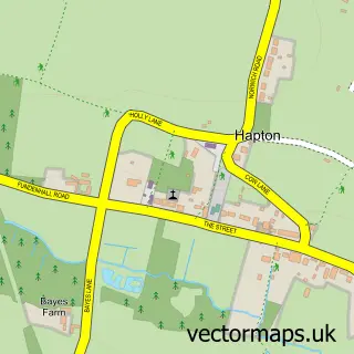
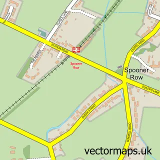
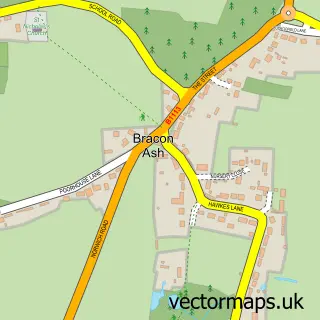
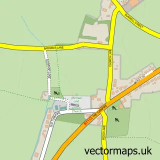
Nearby street map samples around Ashwellthorpe

More street maps in Norfolk
750 metre map area coverage
Boundary, postcode and point of interest information for the 750m x 750m rectangle centred on this sample map.
Boundaries containing map centre
Constituency: South Norfolk Co Const
County: Norfolk County
District: South Norfolk District
Icb: NHS Norfolk and Waveney ICB
Parish: Ashwellthorpe and Fundenhall CP
Police Force: norfolk
Postcode District: NR16
Postcode Sector: NR16 1
Ward: Mulbarton & Stoke Holy Cross Ward
Nearby boundaries intersecting sample
No additional intersecting boundaries found.
Postcode coverage
POI category counts
Accountant: 1
Auto Electrical Repair: 1
Building Supply Store: 1
Financial Service: 1
Gym: 1
Landmark And Historical Building: 1
Mortgage Broker: 1
Preschool: 1
Taxi Service: 1
Sample points of interest
- Just Accountancy
- Excel Electrical Services
- Jaydee Gardens
- Just Accountancy
- Thorpe Hall-Ashwellthorpe and Fundenhall
- the street ashwellthorpe
- Bedrock Mortgages
- Bramble Bears Playgroup
- First Class Taxis
Create a larger editable map of Ashwellthorpe
This sample shows only a 750 metre area. To create a larger map of Ashwellthorpe, use our map builder to choose your own coverage area, add titles and download editable SVG, PDF and PNG files.
Create a custom map of Ashwellthorpe