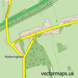
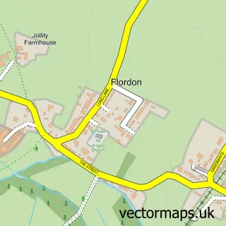
This Hethel street map is a detailed vector street map covering a 750m x 750m area. Select a larger area to create and download your own vector street map of Hethel.
The 750-metre map sample for Hethel covers 28 mapped buildings and approximately 7.3 km of road detail, of which 3 named roads are named. To create a larger or custom map of Hethel, the map builder lets you define your own coverage area and download editable SVG, PDF and PNG files.
Create a larger editable map of Hethel
Choose any area you need and generate a high-quality vector map instantly. Perfect for print, planning, design, business and personal use.

This Hethel street map in Norfolk is available as downloadable SVG, PDF and PNG map files, or as a printed map for planning, business, display, education, local information and design work. You can also create a larger custom map area using the map selector.
What this Hethel map sample shows
Hethel lies within Wreningham Cp parish, part of Mulbarton & Stoke Holy Cross ward in the South Norfolk District local authority area. The postcode geography for this area includes the NR postcode area, the NR16 postcode district and the NR16 1 postcode sector. Residents fall under the Nhs Norfolk And Waveney Integrated Care Board for NHS services.
Administrative and postcode information for Hethel
Hethel lies within Wreningham Cp parish, part of Mulbarton & Stoke Holy Cross ward in the South Norfolk District local authority area. The postcode geography for this area includes the NR postcode area, the NR16 postcode district and the NR16 1 postcode sector. Residents fall under the Nhs Norfolk And Waveney Integrated Care Board for NHS services.
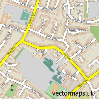
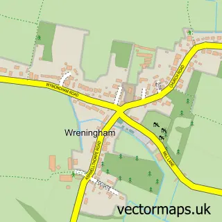
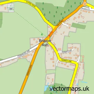
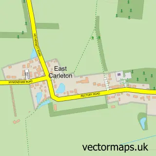
Nearby street map samples around Hethel

More street maps in Norfolk
750 metre map area coverage
Boundary, postcode and point of interest information for the 750m x 750m rectangle centred on this sample map.
Boundaries containing map centre
Constituency: South Norfolk Co Const
County: Norfolk County
District: South Norfolk District
Icb: NHS Norfolk and Waveney ICB
Parish: Bracon Ash CP
Police Force: norfolk
Postcode District: NR14
Postcode Sector: NR14 8
Ward: Mulbarton & Stoke Holy Cross Ward
Nearby boundaries intersecting sample
Parish: Wreningham CP
Postcode District: NR16
Postcode Sector: NR16 1
Postcode coverage
POI category counts
Industrial Equipment: 4
Bicycle Shop: 2
Information Technology Company: 2
Professional Services: 2
Bed And Breakfast: 1
Business Advertising: 1
Business To Business: 1
Engineering Services: 1
Event Planning: 1
Life Coach: 1
Sample points of interest
- Old Thorn Barn
- Rehook
- Vires Velo
- Treefrog
- Inductive Logic Ltd.
- LMEC
- Hethel Engineering Centre
- Ansible Motion
- Edward Jackson
- Premier Control Technologies
- Premier Control Technologies Ltd.
- Evoke Systems Ltd.
Create a larger editable map of Hethel
This sample shows only a 750 metre area. To create a larger map of Hethel, use our map builder to choose your own coverage area, add titles and download editable SVG, PDF and PNG files.
Create a custom map of Hethel