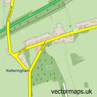
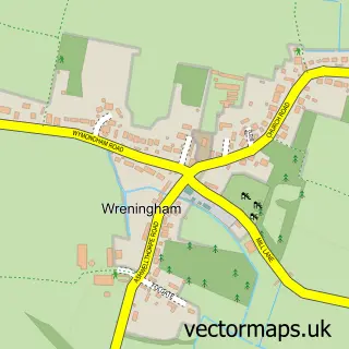
This East Carleton street map is a detailed vector street map covering a 750m x 750m area. Select a larger area to create and download your own vector street map of East Carleton.
The 750-metre map sample for East Carleton covers 105 mapped buildings and approximately 4.5 km of road detail, of which 4 named roads are named. The immediate area includes 3 MOT stations within 2 miles. The wider area around East Carleton features 1 tourism point of interest. To create a larger or custom map of East Carleton, the map builder lets you define your own coverage area and download editable SVG, PDF and PNG files.
Create a larger editable map of East Carleton
Choose any area you need and generate a high-quality vector map instantly. Perfect for print, planning, design, business and personal use.

This East Carleton street map in Norfolk is available as downloadable SVG, PDF and PNG map files, or as a printed map for planning, business, display, education, local information and design work. You can also create a larger custom map area using the map selector.
What this East Carleton map sample shows
East Carleton lies within East Carleton Cp parish, part of Mulbarton & Stoke Holy Cross ward in the South Norfolk District local authority area. The postcode geography for this area includes the NR postcode area, the NR14 postcode district and the NR14 8 postcode sector. Residents fall under the Nhs Norfolk And Waveney Integrated Care Board for NHS services.
Local features near East Carleton
Within 2 milesAmenities and services in and around East Carleton.
Administrative and postcode information for East Carleton
The local authority covering East Carleton is South Norfolk District, within the county of Norfolk. The settlement lies within Mulbarton & Stoke Holy Cross ward and East Carleton Cp civil parish. The NR14 postcode district and NR14 8 postcode sector serve the immediate area. NHS provision in the area is delivered through Norfolk And Norwich University Hospitals Nhs Foundation Trust.
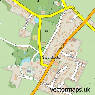
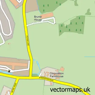
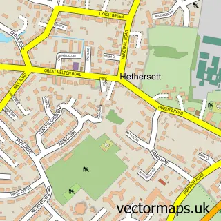
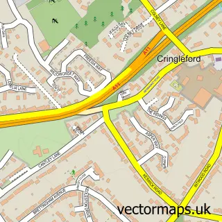
Nearby street map samples around East Carleton

More street maps in Norfolk
750 metre map area coverage
Boundary, postcode and point of interest information for the 750m x 750m rectangle centred on this sample map.
Boundaries containing map centre
Constituency: South Norfolk Co Const
County: Norfolk County
District: South Norfolk District
Icb: NHS Norfolk and Waveney ICB
Parish: East Carleton CP
Police Force: norfolk
Postcode District: NR14
Postcode Sector: NR14 8
Ward: Mulbarton & Stoke Holy Cross Ward
Nearby boundaries intersecting sample
No additional intersecting boundaries found.
Postcode coverage
POI category counts
Anglican Church: 1
Business Management Services: 1
Car Buyer: 1
Electrician: 1
Landmark And Historical Building: 1
Landscape Architect: 1
Nursing School: 1
Pet Services: 1
Plumbing: 1
Real Estate: 1
Sample points of interest
- St Mary's
- Agency Express
- UK New Cars
- Redhill Electrical Services
- East Carleton
- Plantscape Interior Ltd.
- Minton Care (Carleton House)
- Lucky Trims
- Daniels Plumbers
- Agency Express
- Carleton House
- Plantscape Tree Services Ltd
Create a larger editable map of East Carleton
This sample shows only a 750 metre area. To create a larger map of East Carleton, use our map builder to choose your own coverage area, add titles and download editable SVG, PDF and PNG files.
Create a custom map of East Carleton