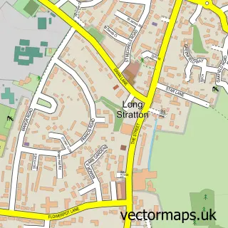
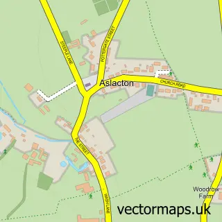
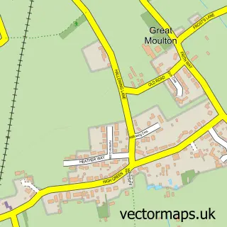
This Bunwell street map is a detailed vector street map covering a 750m x 750m area. Select a larger area to create and download your own vector street map of Bunwell.
The 750-metre map sample for Bunwell covers 76 mapped buildings and approximately 8.6 km of road detail, of which 7 named roads are named. The immediate area includes 1 school and 1 MOT station within 2 miles. To create a larger or custom map of Bunwell, the map builder lets you define your own coverage area and download editable SVG, PDF and PNG files.
Create a larger editable map of Bunwell
Choose any area you need and generate a high-quality vector map instantly. Perfect for print, planning, design, business and personal use.

This Bunwell street map in Norfolk is available as downloadable SVG, PDF and PNG map files, or as a printed map for planning, business, display, education, local information and design work. You can also create a larger custom map area using the map selector.
What this Bunwell map sample shows
Bunwell lies within Bunwell Cp parish, part of Bunwell ward in the South Norfolk District local authority area. The postcode geography for this area includes the NR postcode area, the NR16 postcode district and the NR16 1 postcode sector. Residents fall under the Nhs Norfolk And Waveney Integrated Care Board for NHS services.
Local features near Bunwell
Within 2 milesAmenities and services in and around Bunwell.
Administrative and postcode information for Bunwell
Bunwell lies within Bunwell Cp parish, part of Bunwell ward in the South Norfolk District local authority area. The postcode geography for this area includes the NR postcode area, the NR16 postcode district and the NR16 1 postcode sector. Residents fall under the Nhs Norfolk And Waveney Integrated Care Board for NHS services.
Nearby street map samples around Bunwell

More street maps in Norfolk
750 metre map area coverage
Boundary, postcode and point of interest information for the 750m x 750m rectangle centred on this sample map.
Boundaries containing map centre
Constituency: Waveney Valley Co Const
County: Norfolk County
District: South Norfolk District
Icb: NHS Norfolk and Waveney ICB
Parish: Bunwell CP
Police Force: norfolk
Postcode District: NR16
Postcode Sector: NR16 1
Ward: Bunwell Ward
Nearby boundaries intersecting sample
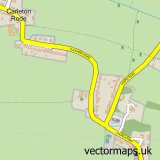
Parish: Carleton Rode CP
Postcode coverage
POI category counts
Anglican Church: 1
Building Supply Store: 1
Business Manufacturing And Supply: 1
Community Services Non Profits: 1
Elementary School: 1
Farming Services: 1
Home Service: 1
Information Technology Company: 1
Sample points of interest
- Bunwell: St Michael & All Angels
- Howes Property Services
- Frank Dale Foodservice
- Bunwell Village Hall
- Bunwell Primary School
- G.Easton & Son Ltd.
- Louise Hewitt's Childminding
- Sorsis Ltd.
Create a larger editable map of Bunwell
This sample shows only a 750 metre area. To create a larger map of Bunwell, use our map builder to choose your own coverage area, add titles and download editable SVG, PDF and PNG files.
Create a custom map of Bunwell