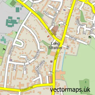
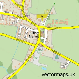
This Great Moulton street map is a detailed vector street map covering a 750m x 750m area. Select a larger area to create and download your own vector street map of Great Moulton.
The 750-metre map sample for Great Moulton covers 212 mapped buildings and approximately 9.9 km of road detail, of which 13 named roads are named. The immediate area includes 1 pub and 1 MOT station within 2 miles. The wider area around Great Moulton features 2 food and drink venues and 1 hotel. To create a larger or custom map of Great Moulton, the map builder lets you define your own coverage area and download editable SVG, PDF and PNG files.
Create a larger editable map of Great Moulton
Choose any area you need and generate a high-quality vector map instantly. Perfect for print, planning, design, business and personal use.

This Great Moulton street map in Norfolk is available as downloadable SVG, PDF and PNG map files, or as a printed map for planning, business, display, education, local information and design work. You can also create a larger custom map area using the map selector.
What this Great Moulton map sample shows
Great Moulton lies within Great Moulton Cp parish, part of Bunwell ward in the South Norfolk District local authority area. The postcode geography for this area includes the NR postcode area, the NR15 postcode district and the NR15 2 postcode sector. Residents fall under the Nhs Norfolk And Waveney Integrated Care Board for NHS services.
Local features near Great Moulton
Within 2 milesAmenities and services in and around Great Moulton.
Administrative and postcode information for Great Moulton
Great Moulton lies within Great Moulton Cp parish, part of Bunwell ward in the South Norfolk District local authority area. The postcode geography for this area includes the NR postcode area, the NR15 postcode district and the NR15 2 postcode sector. Residents fall under the Nhs Norfolk And Waveney Integrated Care Board for NHS services.
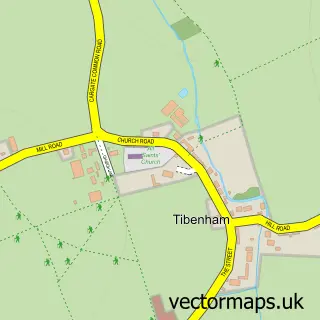
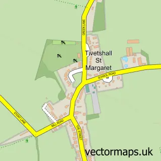
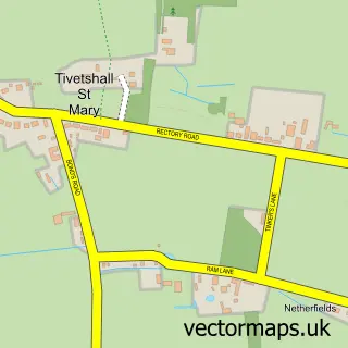
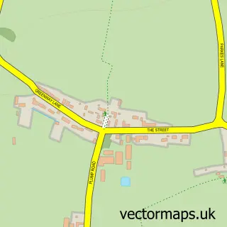
Nearby street map samples around Great Moulton

More street maps in Norfolk
750 metre map area coverage
Boundary, postcode and point of interest information for the 750m x 750m rectangle centred on this sample map.
Boundaries containing map centre
Constituency: Waveney Valley Co Const
County: Norfolk County
District: South Norfolk District
Icb: NHS Norfolk and Waveney ICB
Parish: Great Moulton CP
Police Force: norfolk
Postcode District: NR15
Postcode Sector: NR15 2
Ward: Bunwell Ward
Nearby boundaries intersecting sample
No additional intersecting boundaries found.
Postcode coverage
POI category counts
Building Supply Store: 2
Post Office: 2
Advertising Agency: 1
Bridal Shop: 1
Business Manufacturing And Supply: 1
Cafe: 1
Clothing Company: 1
Gym: 1
Hotel: 1
Land Surveying: 1
Sample points of interest
- Armstrong Design
- Norfolk Candy Buffet
- Anglia Roadways
- Moulton Windows
- Norfolk Wraps
- The Box Tree Cafe
- Sam's & Will's Workwear
- Beautifully Balanced
- South Norfolk Guest House Oakbrook House
- Andrew Gowing Home Inspections
- Balance Pilates Norfolk
- Great Moulton Post Office
Create a larger editable map of Great Moulton
This sample shows only a 750 metre area. To create a larger map of Great Moulton, use our map builder to choose your own coverage area, add titles and download editable SVG, PDF and PNG files.
Create a custom map of Great Moulton