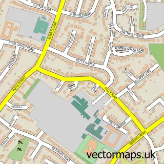
This Wicklewood street map is a detailed vector street map covering a 750m x 750m area. Select a larger area to create and download your own vector street map of Wicklewood.
The 750-metre map sample for Wicklewood covers 273 mapped buildings and approximately 11.5 km of road detail, of which 11 named roads are named. The immediate area includes 1 school, 1 pub and 1 MOT station within 2 miles. The wider area around Wicklewood features 1 tourism point of interest and 1 food and drink venue. To create a larger or custom map of Wicklewood, the map builder lets you define your own coverage area and download editable SVG, PDF and PNG files.
Create a larger editable map of Wicklewood
Choose any area you need and generate a high-quality vector map instantly. Perfect for print, planning, design, business and personal use.

This Wicklewood street map in Norfolk is available as downloadable SVG, PDF and PNG map files, or as a printed map for planning, business, display, education, local information and design work. You can also create a larger custom map area using the map selector.
What this Wicklewood map sample shows
Wicklewood lies within Wicklewood Cp parish, part of Wicklewood ward in the South Norfolk District local authority area. The postcode geography for this area includes the NR postcode area, the NR18 postcode district and the NR18 9 postcode sector. Residents fall under the Nhs Norfolk And Waveney Integrated Care Board for NHS services.
Local features near Wicklewood
Within 2 milesAmenities and services in and around Wicklewood.
Administrative and postcode information for Wicklewood
Wicklewood lies within Wicklewood Cp parish, part of Wicklewood ward in the South Norfolk District local authority area. The postcode geography for this area includes the NR postcode area, the NR18 postcode district and the NR18 9 postcode sector. Residents fall under the Nhs Norfolk And Waveney Integrated Care Board for NHS services.
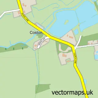
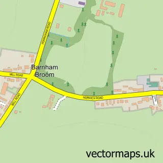
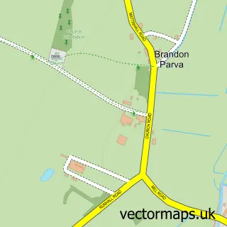
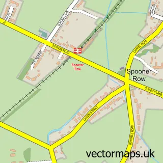
Nearby street map samples around Wicklewood


More street maps in Norfolk
750 metre map area coverage
Boundary, postcode and point of interest information for the 750m x 750m rectangle centred on this sample map.
Boundaries containing map centre
Constituency: Mid Norfolk Co Const
County: Norfolk County
District: South Norfolk District
Icb: NHS Norfolk and Waveney ICB
Parish: Wicklewood CP
Police Force: norfolk
Postcode District: NR18
Postcode Sector: NR18 9
Ward: Wicklewood Ward
Nearby boundaries intersecting sample
No additional intersecting boundaries found.
Postcode coverage
POI category counts
Financial Advising: 2
Hvac Services: 2
Storage Facility: 2
Anglican Church: 1
Arts And Crafts: 1
Auto Restoration Services: 1
Building Supply Store: 1
Business Manufacturing And Supply: 1
Elementary School: 1
Event Planning: 1
Sample points of interest
- Wicklewood: St Andrews & All Saints
- Locality Arts
- Flat 4 Customs Ltd.
- Pitch Air
- PJ Outdoors Norfolk Gas
- Wicklewood Primary School
- Church Manor Barn
- Green Farm Meats
- Accumulate Wealth Management
- Viking Management Services
- P & D Tank Services Ltd
- UK Cellar Cooling
Create a larger editable map of Wicklewood
This sample shows only a 750 metre area. To create a larger map of Wicklewood, use our map builder to choose your own coverage area, add titles and download editable SVG, PDF and PNG files.
Create a custom map of Wicklewood