This Aust street map is a detailed vector street map covering a 750m x 750m area. Select a larger area to create and download your own vector street map of Aust.
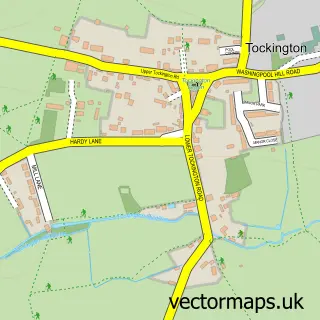
The 750-metre map sample for Aust covers 112 mapped buildings and approximately 11.5 km of road detail, of which 6 named roads are named. The immediate area includes 2 pubs. The wider area around Aust features 2 food and drink venues. To create a larger or custom map of Aust, the map builder lets you define your own coverage area and download editable SVG, PDF and PNG files.
Create a larger editable map of Aust
Choose any area you need and generate a high-quality vector map instantly. Perfect for print, planning, design, business and personal use.

This Aust street map in Gloucestershire is available as downloadable SVG, PDF and PNG map files, or as a printed map for planning, business, display, education, local information and design work. You can also create a larger custom map area using the map selector.
What this Aust map sample shows
Aust lies within Aust Cp parish, part of Severn Vale ward in the South Gloucestershire local authority area. The postcode geography for this area includes the BS postcode area, the BS35 postcode district and the BS35 4 postcode sector. Residents fall under the Nhs Bristol, North Somerset And South Gloucestershire Integrated Care Board for NHS services.
Local features near Aust
Within 2 milesAmenities and services in and around Aust.
Administrative and postcode information for Aust
The local authority covering Aust is South Gloucestershire, within the county of Gloucestershire. The settlement lies within Severn Vale ward and Aust Cp civil parish. The BS35 postcode district and BS35 4 postcode sector serve the immediate area. NHS provision in the area is delivered through North Bristol Nhs Trust.
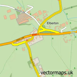
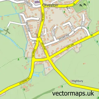
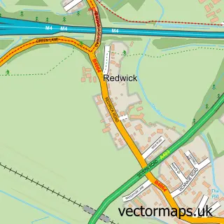
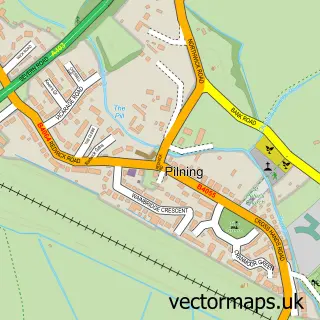
Nearby street map samples around Aust

More street maps in Gloucestershire
750 metre map area coverage
Boundary, postcode and point of interest information for the 750m x 750m rectangle centred on this sample map.
Boundaries containing map centre
Constituency: Thornbury and Yate Co Const
District: South Gloucestershire
Icb: NHS Bristol North Somerset and South Gloucestershire ICB
Parish: Aust CP
Police Force: avon and somerset
Postcode District: BS35
Postcode Sector: BS35 4
Ward: Severn Vale Ward
Nearby boundaries intersecting sample
No additional intersecting boundaries found.
Postcode coverage
POI category counts
Pub: 2
Anglican Church: 1
Auto Detailing: 1
Convenience Store: 1
Holiday Rental Home: 1
It Service And Computer Repair: 1
Kitchen Supply Store: 1
Language School: 1
Shipping Center: 1
Used Car Dealer: 1
Sample points of interest
- St John Ancient Chapelry
- Sterling Auto Enhancement
- Severn View Service Area Bristol
- Lady Marian Double Decker Bus
- Norsa IT Systems
- Independent Vehicle Solutions
- La Jolie Ronde Languages for Children
- Boars Head
- The Boars Head Aust
- Post Office-Easter Compton
- Richard Tucker
Create a larger editable map of Aust
This sample shows only a 750 metre area. To create a larger map of Aust, use our map builder to choose your own coverage area, add titles and download editable SVG, PDF and PNG files.
Create a custom map of Aust