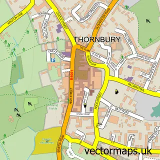
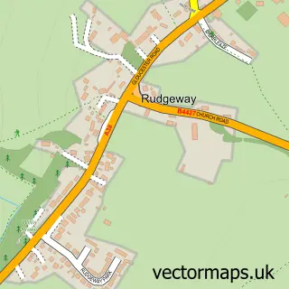
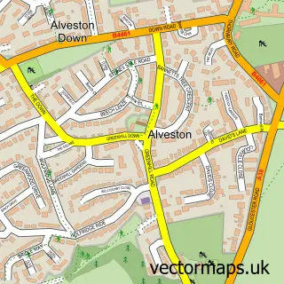
This Olveston street map is a detailed vector street map covering a 750m x 750m area. Select a larger area to create and download your own vector street map of Olveston.
The 750-metre map sample for Olveston covers 259 mapped buildings and approximately 11.1 km of road detail, of which 17 named roads are named. The immediate area includes 1 GP surgery within 2 miles, 1 pub and 1 MOT station, with 2 within 2 miles. The wider area around Olveston features 1 food and drink venue. To create a larger or custom map of Olveston, the map builder lets you define your own coverage area and download editable SVG, PDF and PNG files.
Create a larger editable map of Olveston
Choose any area you need and generate a high-quality vector map instantly. Perfect for print, planning, design, business and personal use.

This Olveston street map in Gloucestershire is available as downloadable SVG, PDF and PNG map files, or as a printed map for planning, business, display, education, local information and design work. You can also create a larger custom map area using the map selector.
What this Olveston map sample shows
Olveston lies within Olveston Cp parish, part of Severn Vale ward in the South Gloucestershire local authority area. The postcode geography for this area includes the BS postcode area, the BS35 postcode district and the BS35 4 postcode sector. Residents fall under the Nhs Bristol, North Somerset And South Gloucestershire Integrated Care Board for NHS services.
Local features near Olveston
Within 2 milesAmenities and services in and around Olveston.
Administrative and postcode information for Olveston
The local authority covering Olveston is South Gloucestershire, within the county of Gloucestershire. The settlement lies within Severn Vale ward and Olveston Cp civil parish. The BS35 postcode district and BS35 4 postcode sector serve the immediate area. NHS provision in the area is delivered through North Bristol Nhs Trust.
Nearby street map samples around Olveston

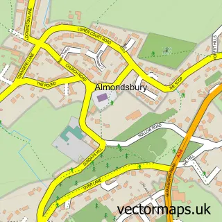
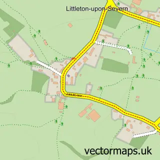
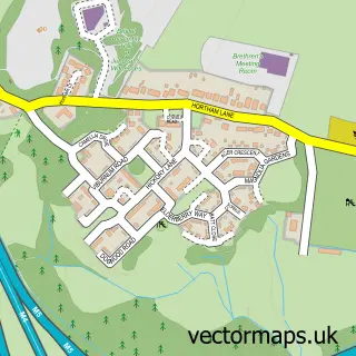
More street maps in Gloucestershire
750 metre map area coverage
Boundary, postcode and point of interest information for the 750m x 750m rectangle centred on this sample map.
Boundaries containing map centre
Constituency: Thornbury and Yate Co Const
District: South Gloucestershire
Icb: NHS Bristol North Somerset and South Gloucestershire ICB
Parish: Olveston CP
Police Force: avon and somerset
Postcode District: BS35
Postcode Sector: BS35 4
Ward: Severn Vale Ward
Nearby boundaries intersecting sample
Postcode District: BS32
Postcode Sector: BS32 4
Postcode coverage
POI category counts
Anglican Church: 2
Beauty Salon: 2
Art Gallery: 1
Auto Detailing: 1
Automotive Repair: 1
Automotive Services And Repair: 1
Bakery: 1
Beauty And Spa: 1
Business Consulting: 1
Business Management Services: 1
Sample points of interest
- St Mary the Virgin
- St Mary's Church
- The Organised Gallery
- Matrix Vehicle Solutions
- Mobile Car Repairs
- Green Lane Garage
- The Crusty Loaf
- Pamela MacLeod Holistic Therapies
- Beauty At The Barn
- Kiss And Tell Aesthetics
- Acme Technical Services
- Circuit Hospitality
Create a larger editable map of Olveston
This sample shows only a 750 metre area. To create a larger map of Olveston, use our map builder to choose your own coverage area, add titles and download editable SVG, PDF and PNG files.
Create a custom map of Olveston