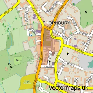
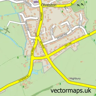
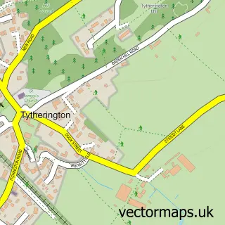
This Alveston street map is a detailed vector street map covering a 750m x 750m area. Select a larger area to create and download your own vector street map of Alveston.
The 750-metre map sample for Alveston covers 485 mapped buildings and approximately 18.6 km of road detail, of which 40 named roads are named. The immediate area includes 3 GP surgeries within 2 miles, 2 pubs and 1 MOT station, with 9 within 2 miles. The wider area around Alveston features 2 food and drink venues and 4 hotels. To create a larger or custom map of Alveston, the map builder lets you define your own coverage area and download editable SVG, PDF and PNG files.
Create a larger editable map of Alveston
Choose any area you need and generate a high-quality vector map instantly. Perfect for print, planning, design, business and personal use.

This Alveston street map in Gloucestershire is available as downloadable SVG, PDF and PNG map files, or as a printed map for planning, business, display, education, local information and design work. You can also create a larger custom map area using the map selector.
What this Alveston map sample shows
Alveston lies within Alveston Cp parish, part of Severn Vale ward in the South Gloucestershire local authority area. The postcode geography for this area includes the BS postcode area, the BS35 postcode district and the BS35 3 postcode sector. Residents fall under the Nhs Bristol, North Somerset And South Gloucestershire Integrated Care Board for NHS services.
Local features near Alveston
Within 2 milesAmenities and services in and around Alveston.
Administrative and postcode information for Alveston
Alveston lies within Alveston Cp parish, part of Severn Vale ward in the South Gloucestershire local authority area. The postcode geography for this area includes the BS postcode area, the BS35 postcode district and the BS35 3 postcode sector. Residents fall under the Nhs Bristol, North Somerset And South Gloucestershire Integrated Care Board for NHS services.
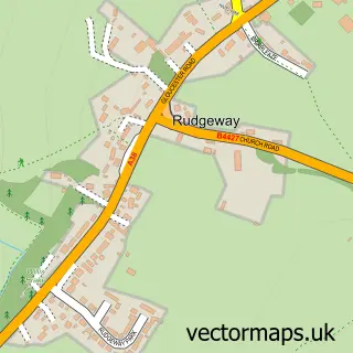
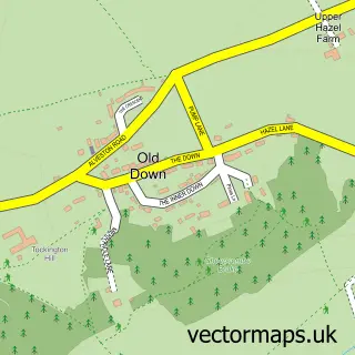
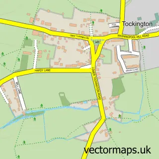
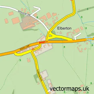
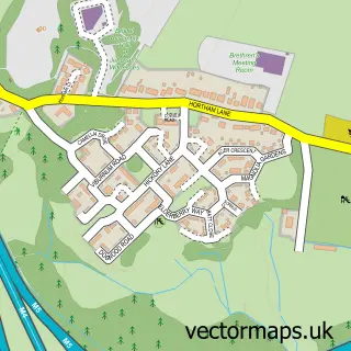
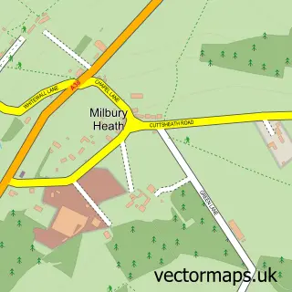
Nearby street map samples around Alveston

More street maps in Gloucestershire
750 metre map area coverage
Boundary, postcode and point of interest information for the 750m x 750m rectangle centred on this sample map.
Boundaries containing map centre
Constituency: Thornbury and Yate Co Const
District: South Gloucestershire
Icb: NHS Bristol North Somerset and South Gloucestershire ICB
Parish: Alveston CP
Police Force: avon and somerset
Postcode District: BS35
Postcode Sector: BS35 3
Ward: Severn Vale Ward
Nearby boundaries intersecting sample
Postcode Sector: BS35 2
Postcode coverage
POI category counts
Hotel: 4
Post Office: 3
Automotive: 2
Automotive Repair: 2
Business Management Services: 2
Car Dealer: 2
Community Services Non Profits: 2
Convenience Store: 2
Playground: 2
Pub: 2
Sample points of interest
- Cookin on Gas Ltd
- Berkeley Vale Motors
- Berkeley Vale Motors Hyundai
- Bristol Classic Car Restoration
- Hyundai
- Dan Turner Automotive / DTA Tuning and Remapping Bristol
- Asset & Commercial Finance
- Bristol Beauty Station
- C B S
- Asset & Commercial Finance Ltd.
- Reid Surveyors Ltd.
- Perry & Son Butchers
Create a larger editable map of Alveston
This sample shows only a 750 metre area. To create a larger map of Alveston, use our map builder to choose your own coverage area, add titles and download editable SVG, PDF and PNG files.
Create a custom map of Alveston