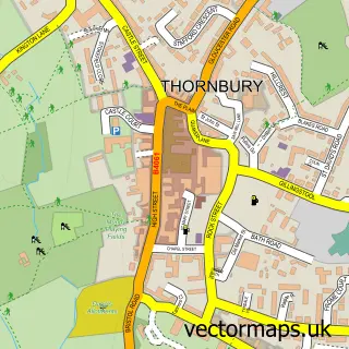
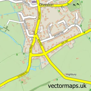
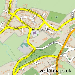
This Old Down street map is a detailed vector street map covering a 750m x 750m area. Select a larger area to create and download your own vector street map of Old Down.
The 750-metre map sample for Old Down covers 97 mapped buildings and approximately 7.6 km of road detail, of which 7 named roads are named. The immediate area includes 1 GP surgery within 2 miles, 1 pub and 8 MOT stations within 2 miles. The wider area around Old Down features 1 food and drink venue. To create a larger or custom map of Old Down, the map builder lets you define your own coverage area and download editable SVG, PDF and PNG files.
Create a larger editable map of Old Down
Choose any area you need and generate a high-quality vector map instantly. Perfect for print, planning, design, business and personal use.

This Old Down street map in Gloucestershire is available as downloadable SVG, PDF and PNG map files, or as a printed map for planning, business, display, education, local information and design work. You can also create a larger custom map area using the map selector.
What this Old Down map sample shows
Old Down lies within Olveston Cp parish, part of Severn Vale ward in the South Gloucestershire local authority area. The postcode geography for this area includes the BS postcode area, the BS32 postcode district and the BS32 4 postcode sector. Residents fall under the Nhs Bristol, North Somerset And South Gloucestershire Integrated Care Board for NHS services.
Local features near Old Down
Within 2 milesAmenities and services in and around Old Down.
Administrative and postcode information for Old Down
Old Down lies within Olveston Cp parish, part of Severn Vale ward in the South Gloucestershire local authority area. The postcode geography for this area includes the BS postcode area, the BS32 postcode district and the BS32 4 postcode sector. Residents fall under the Nhs Bristol, North Somerset And South Gloucestershire Integrated Care Board for NHS services.
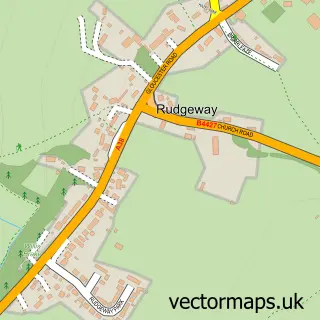
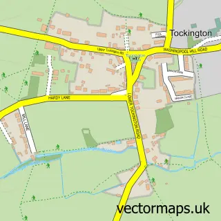
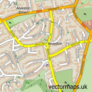
Nearby street map samples around Old Down

More street maps in Gloucestershire
750 metre map area coverage
Boundary, postcode and point of interest information for the 750m x 750m rectangle centred on this sample map.
Boundaries containing map centre
Constituency: Thornbury and Yate Co Const
District: South Gloucestershire
Icb: NHS Bristol North Somerset and South Gloucestershire ICB
Parish: Olveston CP
Police Force: avon and somerset
Postcode District: BS32
Postcode Sector: BS32 4
Ward: Severn Vale Ward
Nearby boundaries intersecting sample
Postcode District: BS35
Postcode Sector: BS35 3
Postcode coverage
POI category counts
Amateur Sports Team: 1
Assisted Living Facility: 1
Auto Company: 1
Pub: 1
Retirement Home: 1
Scout Hall: 1
Tree Services: 1
Sample points of interest
- Olveston United AFC
- Windmill House
- Van Source UK
- The Fox Inn
- Windmill Care Ltd
- Endeavour ESU
- Oldown Tree Surgeons
Create a larger editable map of Old Down
This sample shows only a 750 metre area. To create a larger map of Old Down, use our map builder to choose your own coverage area, add titles and download editable SVG, PDF and PNG files.
Create a custom map of Old Down