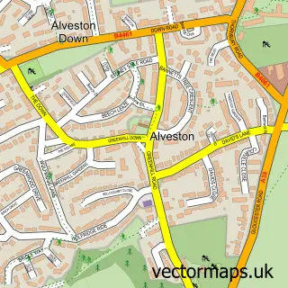
This Thornbury street map is a detailed vector street map covering a 750m x 750m area. Select a larger area to create and download your own vector street map of Thornbury.
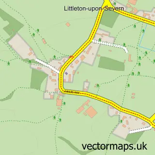
The 750-metre map sample for Thornbury covers 257 mapped buildings and approximately 12.9 km of road detail, of which 32 named roads are named. The immediate area includes 1 school, 1 GP surgery, with 3 within 2 miles, 8 pubs and 1 MOT station, with 8 within 2 miles. The wider area around Thornbury features 2 tourism points of interest, 18 food and drink venues and 1 hotel. To create a larger or custom map of Thornbury, the map builder lets you define your own coverage area and download editable SVG, PDF and PNG files.
Create a larger editable map of Thornbury
Choose any area you need and generate a high-quality vector map instantly. Perfect for print, planning, design, business and personal use.

This Thornbury street map in Gloucestershire is available as downloadable SVG, PDF and PNG map files, or as a printed map for planning, business, display, education, local information and design work. You can also create a larger custom map area using the map selector.
What this Thornbury map sample shows
Thornbury lies within Thornbury Cp parish, part of Thornbury ward in the South Gloucestershire local authority area. The postcode geography for this area includes the BS postcode area, the BS35 postcode district and the BS35 1 postcode sector. Residents fall under the Nhs Bristol, North Somerset And South Gloucestershire Integrated Care Board for NHS services.
Local features near Thornbury
Within 2 milesAmenities and services in and around Thornbury.
Administrative and postcode information for Thornbury
Thornbury lies within Thornbury Cp parish, part of Thornbury ward in the South Gloucestershire local authority area. The postcode geography for this area includes the BS postcode area, the BS35 postcode district and the BS35 1 postcode sector. Residents fall under the Nhs Bristol, North Somerset And South Gloucestershire Integrated Care Board for NHS services.
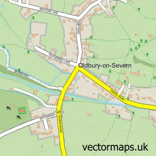
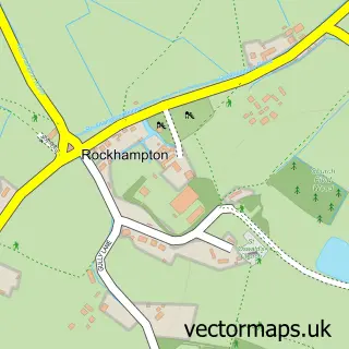
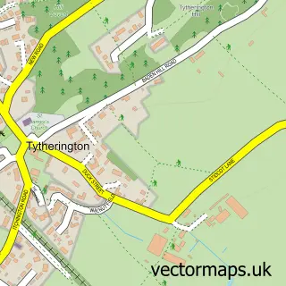
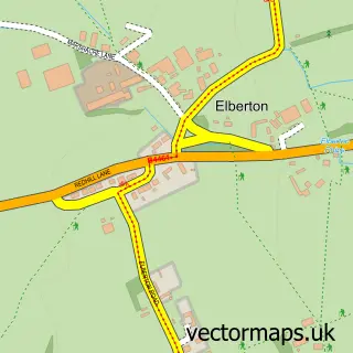
Nearby street map samples around Thornbury

More street maps in Gloucestershire
750 metre map area coverage
Boundary, postcode and point of interest information for the 750m x 750m rectangle centred on this sample map.
Boundaries containing map centre
Constituency: Thornbury and Yate Co Const
District: South Gloucestershire
Icb: NHS Bristol North Somerset and South Gloucestershire ICB
Parish: Thornbury CP
Police Force: avon and somerset
Postcode District: BS35
Postcode Sector: BS35 2
Ward: Thornbury Ward
Nearby boundaries intersecting sample
Postcode Sector: BS35 1, BS35 3
Postcode coverage
POI category counts
Hair Salon: 8
Pub: 8
Real Estate Agent: 8
Advertising Agency: 7
Beauty Salon: 6
Charity Organization: 6
Legal Services: 6
Professional Services: 6
Banks: 5
Business Management Services: 5
Sample points of interest
- Coben Associates
- Melrose Associates
- Melrose Group
- Victoria Accountants
- Thornbury parkrun
- Design HQ
- McDonald Consulting
- Thomas Media Consultants
- Thornbury Digital Marketing
- Trust Local
- Trust Local Business Directory
- View Motion
Create a larger editable map of Thornbury
This sample shows only a 750 metre area. To create a larger map of Thornbury, use our map builder to choose your own coverage area, add titles and download editable SVG, PDF and PNG files.
Create a custom map of Thornbury