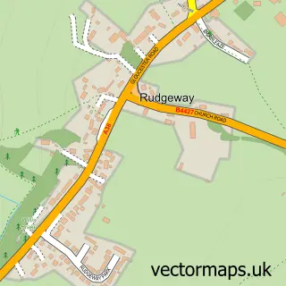
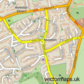
This Hortham street map is a detailed vector street map covering a 750m x 750m area. Select a larger area to create and download your own vector street map of Hortham.
The 750-metre map sample for Hortham covers 200 mapped buildings and approximately 14.2 km of road detail, of which 11 named roads are named. The immediate area includes 2 GP surgeries within 2 miles and 3 MOT stations within 2 miles. The wider area around Hortham features 1 tourism point of interest. To create a larger or custom map of Hortham, the map builder lets you define your own coverage area and download editable SVG, PDF and PNG files.
Create a larger editable map of Hortham
Choose any area you need and generate a high-quality vector map instantly. Perfect for print, planning, design, business and personal use.

This Hortham street map in Gloucestershire is available as downloadable SVG, PDF and PNG map files, or as a printed map for planning, business, display, education, local information and design work. You can also create a larger custom map area using the map selector.
What this Hortham map sample shows
Hortham lies within Almondsbury Cp parish, part of Severn Vale ward in the South Gloucestershire local authority area. The postcode geography for this area includes the BS postcode area, the BS32 postcode district and the BS32 4 postcode sector. Residents fall under the Nhs Bristol, North Somerset And South Gloucestershire Integrated Care Board for NHS services.
Local features near Hortham
Within 2 milesAmenities and services in and around Hortham.
Administrative and postcode information for Hortham
Hortham lies within Almondsbury Cp parish, part of Severn Vale ward in the South Gloucestershire local authority area. The postcode geography for this area includes the BS postcode area, the BS32 postcode district and the BS32 4 postcode sector. Residents fall under the Nhs Bristol, North Somerset And South Gloucestershire Integrated Care Board for NHS services.
Nearby street map samples around Hortham
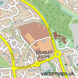

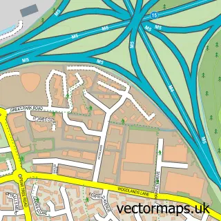
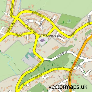
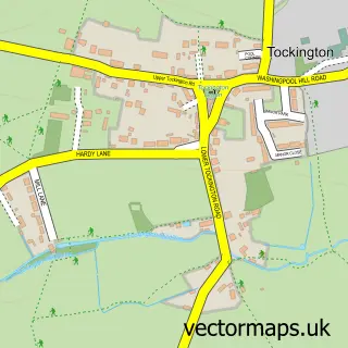
More street maps in Gloucestershire
750 metre map area coverage
Boundary, postcode and point of interest information for the 750m x 750m rectangle centred on this sample map.
Boundaries containing map centre
Constituency: Thornbury and Yate Co Const
District: South Gloucestershire
Icb: NHS Bristol North Somerset and South Gloucestershire ICB
Parish: Almondsbury CP
Police Force: avon and somerset
Postcode District: BS32
Postcode Sector: BS32 4
Ward: Severn Vale Ward
Nearby boundaries intersecting sample
No additional intersecting boundaries found.
Postcode coverage
POI category counts
Financial Service: 2
Beauty And Spa: 1
Community Center: 1
Contractor: 1
Eatertainment: 1
Environmental Conservation Organization: 1
Forestry Service: 1
Framing Store: 1
Landmark And Historical Building: 1
Marketing Agency: 1
Sample points of interest
- Mrs H Brows
- Sikh Council UK
- CAS Garden Services
- Siekomagic
- Bristol Assembly Hall
- Acer Accounts
- Elite Financial Consulting
- Almondsbury Tree Service
- Royall Framing
- Hortham Village
- Acer Digital Marketing
- Platinum Occupational Health
Create a larger editable map of Hortham
This sample shows only a 750 metre area. To create a larger map of Hortham, use our map builder to choose your own coverage area, add titles and download editable SVG, PDF and PNG files.
Create a custom map of Hortham