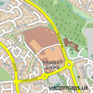
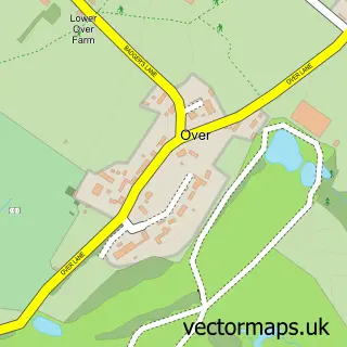
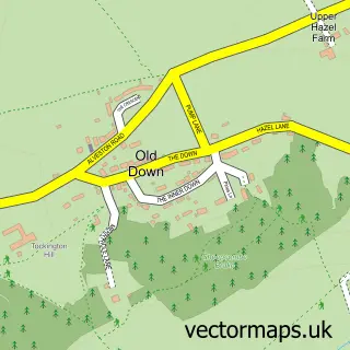
This Woodlands street map is a detailed vector street map covering a 750m x 750m area. Select a larger area to create and download your own vector street map of Woodlands.
The 750-metre map sample for Woodlands covers 171 mapped buildings and approximately 27.7 km of road detail, of which 14 named roads are named. The immediate area includes 2 GP surgeries within 2 miles and 6 MOT stations within 2 miles. The wider area around Woodlands features 1 tourism point of interest and 4 food and drink venues. To create a larger or custom map of Woodlands, the map builder lets you define your own coverage area and download editable SVG, PDF and PNG files.
Create a larger editable map of Woodlands
Choose any area you need and generate a high-quality vector map instantly. Perfect for print, planning, design, business and personal use.

This Woodlands street map in Gloucestershire is available as downloadable SVG, PDF and PNG map files, or as a printed map for planning, business, display, education, local information and design work. You can also create a larger custom map area using the map selector.
What this Woodlands map sample shows
Woodlands lies within Almondsbury Cp parish, part of Severn Vale ward in the South Gloucestershire local authority area. The postcode geography for this area includes the BS postcode area, the BS32 postcode district and the BS32 4 postcode sector. Residents fall under the Nhs Bristol, North Somerset And South Gloucestershire Integrated Care Board for NHS services.
Local features near Woodlands
Within 2 milesAmenities and services in and around Woodlands.
Administrative and postcode information for Woodlands
Woodlands lies within Almondsbury Cp parish, part of Severn Vale ward in the South Gloucestershire local authority area. The postcode geography for this area includes the BS postcode area, the BS32 postcode district and the BS32 4 postcode sector. Residents fall under the Nhs Bristol, North Somerset And South Gloucestershire Integrated Care Board for NHS services.
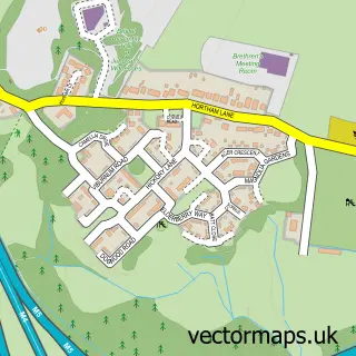
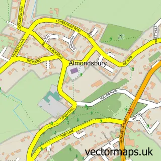
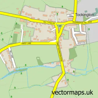
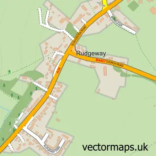
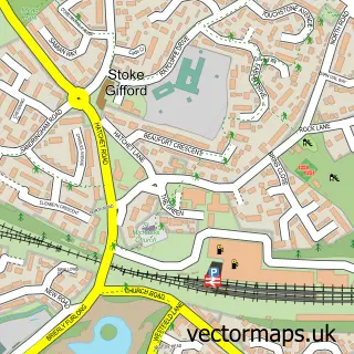
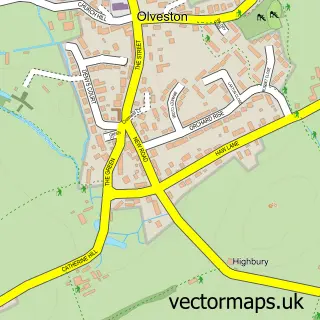
Nearby street map samples around Woodlands

More street maps in Gloucestershire
750 metre map area coverage
Boundary, postcode and point of interest information for the 750m x 750m rectangle centred on this sample map.
Boundaries containing map centre
Constituency: Filton and Bradley Stoke Boro Const
District: South Gloucestershire
Icb: NHS Bristol North Somerset and South Gloucestershire ICB
Parish: Bradley Stoke CP
Police Force: avon and somerset
Postcode District: BS32
Postcode Sector: BS32 4
Ward: Bradley Stoke North Ward
Nearby boundaries intersecting sample
Constituency: Thornbury and Yate Co Const
Parish: Almondsbury CP
Postcode Sector: BS32 0
Ward: Severn Vale Ward
Postcode coverage
POI category counts
Professional Services: 19
Employment Agencies: 7
It Service And Computer Repair: 6
Accountant: 5
Advertising Agency: 4
Financial Service: 4
Insurance Agency: 4
Retail: 4
Building Supply Store: 3
Charity Organization: 3
Sample points of interest
- C&M Accountants
- Streets Steele Limited
- Streets Steele Ltd.
- TMT Accounting
- Tjs Business Solutions Ltd.
- Ricoh
- T and S Creative Communications
- Thomson Local
- t&s Creative Communications
- FERCHAU GmbH
- South Western Ambulance Service
- Baldor UK
Create a larger editable map of Woodlands
This sample shows only a 750 metre area. To create a larger map of Woodlands, use our map builder to choose your own coverage area, add titles and download editable SVG, PDF and PNG files.
Create a custom map of Woodlands