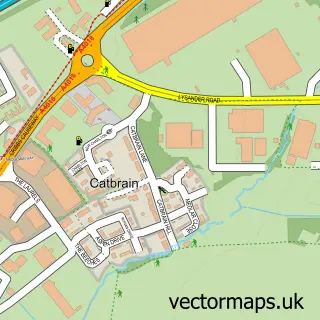
This Patchway street map is a detailed vector street map covering a 750m x 750m area. Select a larger area to create and download your own vector street map of Patchway.
The 750-metre map sample for Patchway covers 443 mapped buildings and approximately 15.0 km of road detail, of which 21 named roads are named. The immediate area includes 3 GP surgeries within 2 miles and 19 MOT stations within 2 miles. The wider area around Patchway features 3 tourism points of interest and 3 food and drink venues. To create a larger or custom map of Patchway, the map builder lets you define your own coverage area and download editable SVG, PDF and PNG files.
Create a larger editable map of Patchway
Choose any area you need and generate a high-quality vector map instantly. Perfect for print, planning, design, business and personal use.

This Patchway street map in Gloucestershire is available as downloadable SVG, PDF and PNG map files, or as a printed map for planning, business, display, education, local information and design work. You can also create a larger custom map area using the map selector.
What this Patchway map sample shows
Patchway lies within Stoke Lodge And The Common Cp parish, part of Bradley Stoke North ward in the South Gloucestershire local authority area. The postcode geography for this area includes the BS postcode area, the BS34 postcode district and the BS34 6 postcode sector. Residents fall under the Nhs Bristol, North Somerset And South Gloucestershire Integrated Care Board for NHS services.
Local features near Patchway
Within 2 milesAmenities and services in and around Patchway.
Administrative and postcode information for Patchway
Patchway lies within Stoke Lodge And The Common Cp parish, part of Bradley Stoke North ward in the South Gloucestershire local authority area. The postcode geography for this area includes the BS postcode area, the BS34 postcode district and the BS34 6 postcode sector. Residents fall under the Nhs Bristol, North Somerset And South Gloucestershire Integrated Care Board for NHS services.
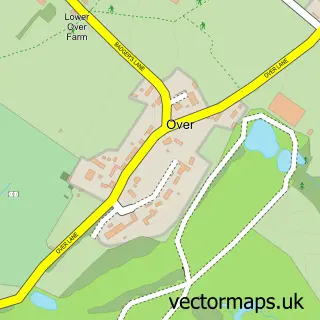
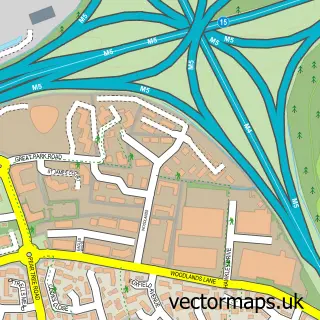
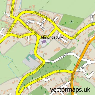
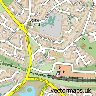
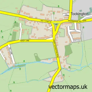
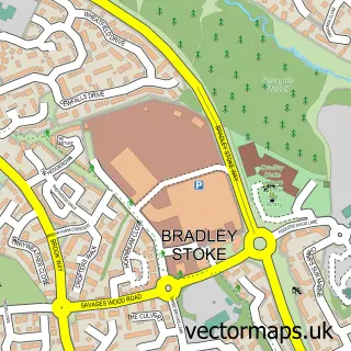
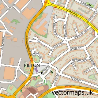
Nearby street map samples around Patchway

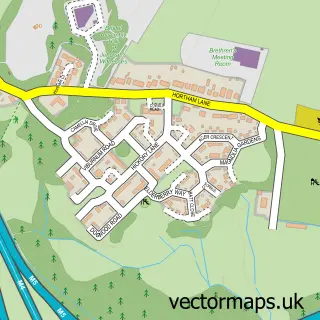
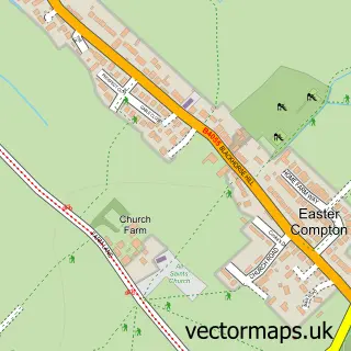
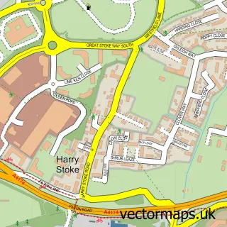
More street maps in Gloucestershire
750 metre map area coverage
Boundary, postcode and point of interest information for the 750m x 750m rectangle centred on this sample map.
Boundaries containing map centre
Constituency: Filton and Bradley Stoke Boro Const
District: South Gloucestershire
Icb: NHS Bristol North Somerset and South Gloucestershire ICB
Parish: Patchway CP
Police Force: avon and somerset
Postcode District: BS34
Postcode Sector: BS34 5
Ward: Patchway Coniston Ward
Nearby boundaries intersecting sample
Postcode District: BS32
Postcode Sector: BS32 4, BS34 6
Ward: Charlton & Cribbs Ward
Postcode coverage
POI category counts
Convenience Store: 5
Beauty Salon: 4
Funeral Services And Cemeteries: 4
Martial Arts Club: 4
Real Estate Agent: 4
Coffee Shop: 3
Fast Food Restaurant: 3
Gas Station: 3
Hair Salon: 3
Park: 3
Sample points of interest
- BR Spar Patchway (ERF), PATCHWAY
- Motorline Toyota Bristol North
- Patchway Autoparts
- Brunel Tyres
- Co-wheels Car Club
- Kwik Fit
- Motability Scheme at Motorline Toyota Bristol North
- Dave the Baker
- Little Love's Bakes
- The Beer Patch
- Pro Cut
- JT Studio
Create a larger editable map of Patchway
This sample shows only a 750 metre area. To create a larger map of Patchway, use our map builder to choose your own coverage area, add titles and download editable SVG, PDF and PNG files.
Create a custom map of Patchway