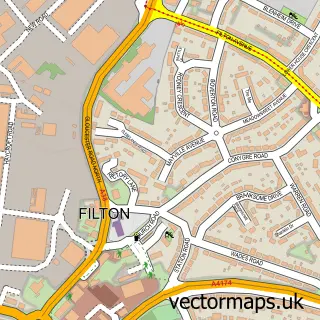
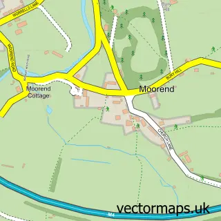
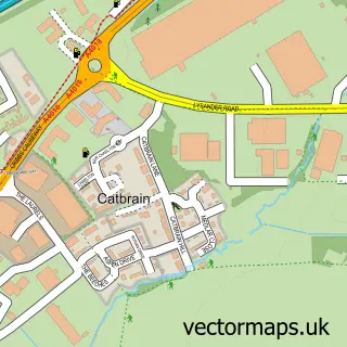
This Harry Stoke street map is a detailed vector street map covering a 750m x 750m area. Select a larger area to create and download your own vector street map of Harry Stoke.
The 750-metre map sample for Harry Stoke covers 259 mapped buildings and approximately 13.2 km of road detail, of which 11 named roads are named. The immediate area includes 5 GP surgeries within 2 miles and 15 MOT stations within 2 miles. The wider area around Harry Stoke features 1 tourism point of interest, 3 food and drink venues and 3 hotels. To create a larger or custom map of Harry Stoke, the map builder lets you define your own coverage area and download editable SVG, PDF and PNG files.
Create a larger editable map of Harry Stoke
Choose any area you need and generate a high-quality vector map instantly. Perfect for print, planning, design, business and personal use.

This Harry Stoke street map in Gloucestershire is available as downloadable SVG, PDF and PNG map files, or as a printed map for planning, business, display, education, local information and design work. You can also create a larger custom map area using the map selector.
What this Harry Stoke map sample shows
Harry Stoke lies within Stoke Gifford Cp parish, part of Stoke Gifford ward in the South Gloucestershire local authority area. The postcode geography for this area includes the BS postcode area, the BS34 postcode district and the BS34 8 postcode sector. Residents fall under the Nhs Bristol, North Somerset And South Gloucestershire Integrated Care Board for NHS services.
Local features near Harry Stoke
Within 2 milesAmenities and services in and around Harry Stoke.
Administrative and postcode information for Harry Stoke
The local authority covering Harry Stoke is South Gloucestershire, within the county of Gloucestershire. The settlement lies within Stoke Gifford ward and Stoke Gifford Cp civil parish. The BS34 postcode district and BS34 8 postcode sector serve the immediate area. NHS provision in the area is delivered through North Bristol Nhs Trust.
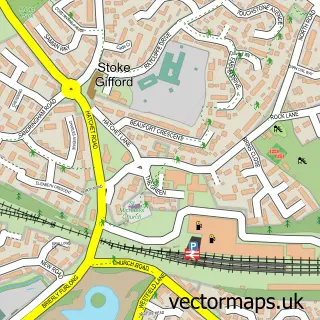
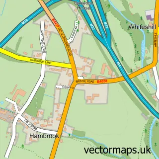
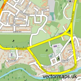
Nearby street map samples around Harry Stoke

More street maps in Gloucestershire
750 metre map area coverage
Boundary, postcode and point of interest information for the 750m x 750m rectangle centred on this sample map.
Boundaries containing map centre
Constituency: Filton and Bradley Stoke Boro Const
District: South Gloucestershire
Icb: NHS Bristol North Somerset and South Gloucestershire ICB
Parish: Stoke Gifford CP
Police Force: avon and somerset
Postcode District: BS34
Postcode Sector: BS34 8
Ward: Stoke Gifford Ward
Nearby boundaries intersecting sample
Parish: Stoke Park and Cheswick CP, Winterbourne CP
Postcode District: BS16
Postcode Sector: BS16 1
Ward: Frenchay & Downend Ward, Stoke Park & Cheswick Ward, Winterbourne Ward
Postcode coverage
POI category counts
Gym: 3
Hotel: 3
Supermarket: 3
British Restaurant: 2
Building Contractor: 2
Coffee Shop: 2
Corporate Office: 2
Discount Store: 2
Key And Locksmith: 2
Swimming Instructor: 2
Sample points of interest
- Audit Commission
- NRG Group
- DGSM Architecture & Timber Frame Design
- Artisan Design - Olympic Corner Bracelets
- Alex Lawrie Factors
- Beefeater
- The Gifford
- BAM Construction, Western
- Bam Construction Ltd.
- Coffeeboy
- Bristol, Fox Den Rd, DT
- Costa Coffee
Create a larger editable map of Harry Stoke
This sample shows only a 750 metre area. To create a larger map of Harry Stoke, use our map builder to choose your own coverage area, add titles and download editable SVG, PDF and PNG files.
Create a custom map of Harry Stoke