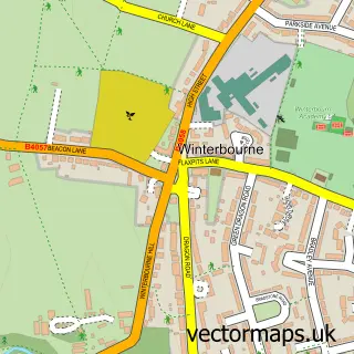
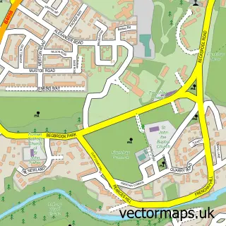
This Moorend street map is a detailed vector street map covering a 750m x 750m area. Select a larger area to create and download your own vector street map of Moorend.
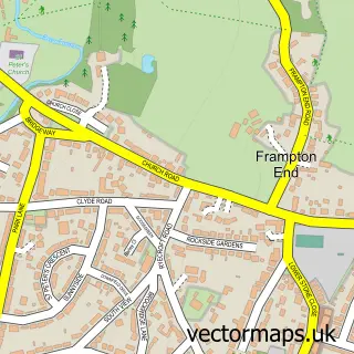
The 750-metre map sample for Moorend covers 90 mapped buildings and approximately 10.9 km of road detail, of which 5 named roads are named. The immediate area includes 5 GP surgeries within 2 miles and 10 MOT stations within 2 miles. The wider area around Moorend features 1 tourism point of interest. To create a larger or custom map of Moorend, the map builder lets you define your own coverage area and download editable SVG, PDF and PNG files.
Create a larger editable map of Moorend
Choose any area you need and generate a high-quality vector map instantly. Perfect for print, planning, design, business and personal use.

This Moorend street map in Gloucestershire is available as downloadable SVG, PDF and PNG map files, or as a printed map for planning, business, display, education, local information and design work. You can also create a larger custom map area using the map selector.
What this Moorend map sample shows
Moorend lies within Winterbourne Cp parish, part of Winterbourne ward in the South Gloucestershire local authority area. The postcode geography for this area includes the BS postcode area, the BS16 postcode district and the BS16 1 postcode sector. Residents fall under the Nhs Bristol, North Somerset And South Gloucestershire Integrated Care Board for NHS services.
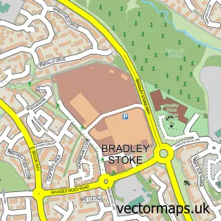
Local features near Moorend
Within 2 milesAmenities and services in and around Moorend.
Administrative and postcode information for Moorend
The local authority covering Moorend is South Gloucestershire, within the county of Gloucestershire. The settlement lies within Winterbourne ward and Winterbourne Cp civil parish. The BS16 postcode district and BS16 1 postcode sector serve the immediate area. NHS provision in the area is delivered through North Bristol Nhs Trust.
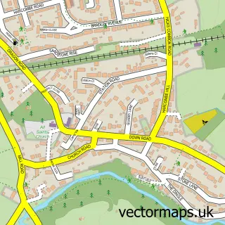
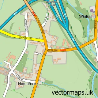
Nearby street map samples around Moorend

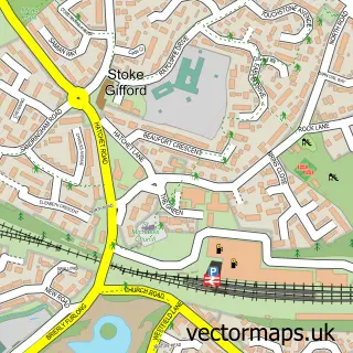
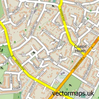
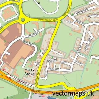
More street maps in Gloucestershire
750 metre map area coverage
Boundary, postcode and point of interest information for the 750m x 750m rectangle centred on this sample map.
Boundaries containing map centre
Constituency: Filton and Bradley Stoke Boro Const
District: South Gloucestershire
Icb: NHS Bristol North Somerset and South Gloucestershire ICB
Parish: Winterbourne CP
Police Force: avon and somerset
Postcode District: BS16
Postcode Sector: BS16 1
Ward: Winterbourne Ward
Nearby boundaries intersecting sample
Postcode District: BS36
Postcode Sector: BS16 6, BS36 1
Postcode coverage
POI category counts
Campground: 1
Charity Organization: 1
Gym: 1
Horse Riding: 1
Landscaping: 1
Monument: 1
Pet Boarding: 1
Pet Services: 1
Sports Club And League: 1
Taxi Service: 1
Sample points of interest
- Green Gables Camping
- Empowering Futures
- Fuse Training
- Cottage Riding Stables
- Ds Garden Services
- Bury Hill Fort
- The Cottage Kennels And Cattery
- Canine Hair Flair
- Bristol Motor Cycle & Light Car Club Limited
- Good Connexxions
Create a larger editable map of Moorend
This sample shows only a 750 metre area. To create a larger map of Moorend, use our map builder to choose your own coverage area, add titles and download editable SVG, PDF and PNG files.
Create a custom map of Moorend