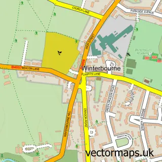
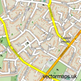
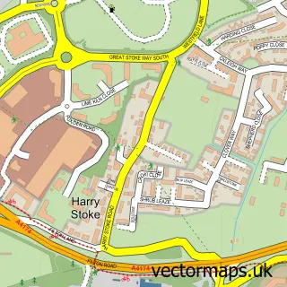
This Winterbourne Down street map is a detailed vector street map covering a 750m x 750m area. Select a larger area to create and download your own vector street map of Winterbourne Down.
The 750-metre map sample for Winterbourne Down covers 435 mapped buildings and approximately 14.7 km of road detail, of which 29 named roads are named. The immediate area includes 4 GP surgeries within 2 miles, 1 pub and 1 MOT station, with 8 within 2 miles. The wider area around Winterbourne Down features 1 food and drink venue. To create a larger or custom map of Winterbourne Down, the map builder lets you define your own coverage area and download editable SVG, PDF and PNG files.
Create a larger editable map of Winterbourne Down
Choose any area you need and generate a high-quality vector map instantly. Perfect for print, planning, design, business and personal use.

This Winterbourne Down street map in Gloucestershire is available as downloadable SVG, PDF and PNG map files, or as a printed map for planning, business, display, education, local information and design work. You can also create a larger custom map area using the map selector.
What this Winterbourne Down map sample shows
Winterbourne Down lies within Winterbourne Cp parish, part of Winterbourne ward in the South Gloucestershire local authority area. The postcode geography for this area includes the BS postcode area, the BS36 postcode district and the BS36 1 postcode sector. Residents fall under the Nhs Bristol, North Somerset And South Gloucestershire Integrated Care Board for NHS services.
Local features near Winterbourne Down
Within 2 milesAmenities and services in and around Winterbourne Down.
Administrative and postcode information for Winterbourne Down
Winterbourne Down lies within Winterbourne Cp parish, part of Winterbourne ward in the South Gloucestershire local authority area. The postcode geography for this area includes the BS postcode area, the BS36 postcode district and the BS36 1 postcode sector. Residents fall under the Nhs Bristol, North Somerset And South Gloucestershire Integrated Care Board for NHS services.
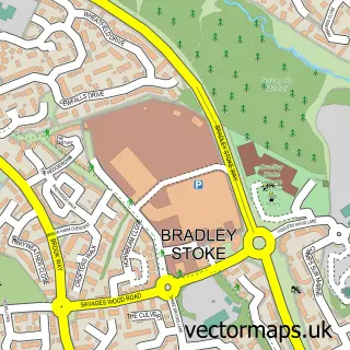
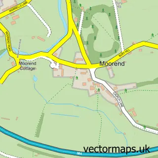
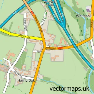
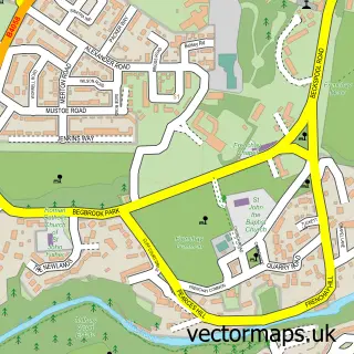
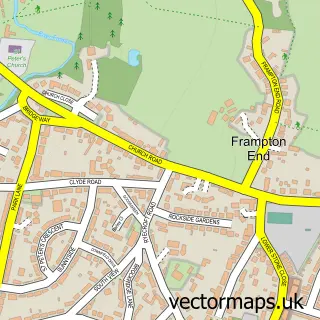
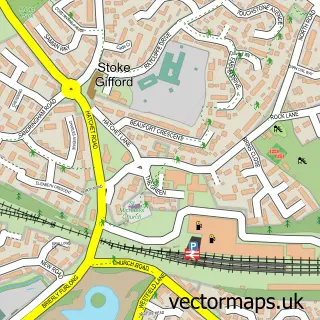
Nearby street map samples around Winterbourne Down

More street maps in Gloucestershire
750 metre map area coverage
Boundary, postcode and point of interest information for the 750m x 750m rectangle centred on this sample map.
Boundaries containing map centre
Constituency: Filton and Bradley Stoke Boro Const
District: South Gloucestershire
Icb: NHS Bristol North Somerset and South Gloucestershire ICB
Parish: Winterbourne CP
Police Force: avon and somerset
Postcode District: BS36
Postcode Sector: BS36 1
Ward: Winterbourne Ward
Nearby boundaries intersecting sample
No additional intersecting boundaries found.
Postcode coverage
POI category counts
Building Supply Store: 4
Anglican Church: 2
Garbage Collection Service: 2
Shades And Blinds: 2
Tattoo And Piercing: 2
Accountant: 1
Advertising Agency: 1
Arts And Entertainment: 1
Auto Detailing: 1
Beauty Salon: 1
Sample points of interest
- Certax Accounting Ltd.
- A B Copiers
- All Saints' Church
- All Saints' Winterbourne Down
- Sex Addiction Southwest Help group
- Bailey Valeting Pad
- SP-Makeup
- Elite Cleaning Services
- ProPlumbCo
- The Complete Roofing Company
- Travis Perkins
- Buxton Butchers at Bristol
Create a larger editable map of Winterbourne Down
This sample shows only a 750 metre area. To create a larger map of Winterbourne Down, use our map builder to choose your own coverage area, add titles and download editable SVG, PDF and PNG files.
Create a custom map of Winterbourne Down