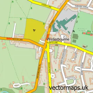
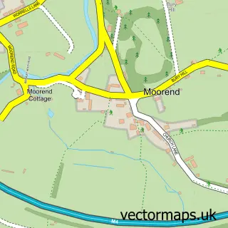
This Frampton Cotterell street map is a detailed vector street map covering a 750m x 750m area. Select a larger area to create and download your own vector street map of Frampton Cotterell.
The 750-metre map sample for Frampton Cotterell covers 428 mapped buildings and approximately 14.1 km of road detail, of which 24 named roads are named. The immediate area includes 1 school, 1 GP surgery within 2 miles, 1 pub and 8 MOT stations within 2 miles. The wider area around Frampton Cotterell features 2 food and drink venues. To create a larger or custom map of Frampton Cotterell, the map builder lets you define your own coverage area and download editable SVG, PDF and PNG files.
Create a larger editable map of Frampton Cotterell
Choose any area you need and generate a high-quality vector map instantly. Perfect for print, planning, design, business and personal use.

This Frampton Cotterell street map in Gloucestershire is available as downloadable SVG, PDF and PNG map files, or as a printed map for planning, business, display, education, local information and design work. You can also create a larger custom map area using the map selector.
What this Frampton Cotterell map sample shows
Frampton Cotterell lies within Westerleigh Cp parish, part of Frampton Cotterell ward in the South Gloucestershire local authority area. The postcode geography for this area includes the BS postcode area, the BS36 postcode district and the BS36 2 postcode sector. Residents fall under the Nhs Bristol, North Somerset And South Gloucestershire Integrated Care Board for NHS services.
Local features near Frampton Cotterell
Within 2 milesAmenities and services in and around Frampton Cotterell.
Administrative and postcode information for Frampton Cotterell
Frampton Cotterell lies within Westerleigh Cp parish, part of Frampton Cotterell ward in the South Gloucestershire local authority area. The postcode geography for this area includes the BS postcode area, the BS36 postcode district and the BS36 2 postcode sector. Residents fall under the Nhs Bristol, North Somerset And South Gloucestershire Integrated Care Board for NHS services.
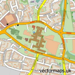
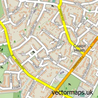
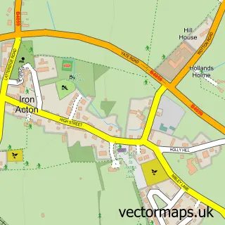
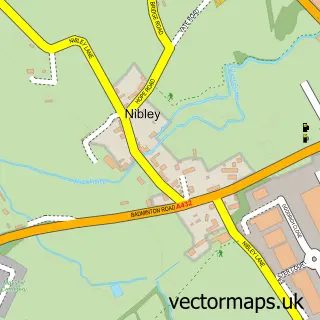
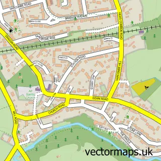
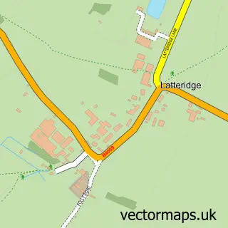
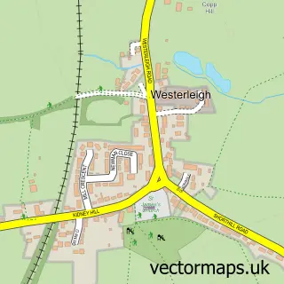
Nearby street map samples around Frampton Cotterell

More street maps in Gloucestershire
750 metre map area coverage
Boundary, postcode and point of interest information for the 750m x 750m rectangle centred on this sample map.
Boundaries containing map centre
Constituency: Thornbury and Yate Co Const
District: South Gloucestershire
Icb: NHS Bristol North Somerset and South Gloucestershire ICB
Parish: Frampton Cotterell CP
Police Force: avon and somerset
Postcode District: BS36
Postcode Sector: BS36 2
Ward: Frampton Cotterell Ward
Nearby boundaries intersecting sample
No additional intersecting boundaries found.
Postcode coverage
POI category counts
Beauty Salon: 4
Elementary School: 3
Naturopathic Holistic: 3
Carpenter: 2
Financial Service: 2
Flowers And Gifts Shop: 2
Printing Services: 2
Sports And Recreation Venue: 2
Anglican Church: 1
Auto Electrical Repair: 1
Sample points of interest
- St Peter's, Frampton Cotterell
- Safety Test UK Ltd.
- Magnolia Mews Bakehouse
- Grimmers Bar
- Frampton Barbers
- Beauty Plus by Myriam
- Choppers Hairdressers
- Frampton Beauty Spot
- The Hideaway Hair & Beauty Boutique
- The Moon Loungers
- Balance of Wellness - Paul Brown
- arfsautosales.co.uk
Create a larger editable map of Frampton Cotterell
This sample shows only a 750 metre area. To create a larger map of Frampton Cotterell, use our map builder to choose your own coverage area, add titles and download editable SVG, PDF and PNG files.
Create a custom map of Frampton Cotterell