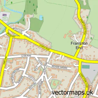
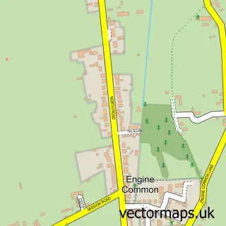
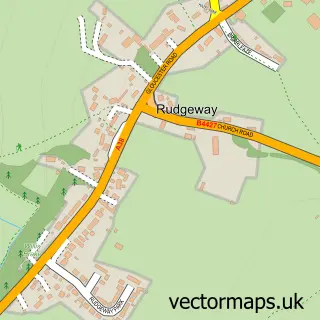
This Latteridge street map is a detailed vector street map covering a 750m x 750m area. Select a larger area to create and download your own vector street map of Latteridge.
The 750-metre map sample for Latteridge covers 70 mapped buildings and approximately 7.0 km of road detail, of which 2 named roads are named. The immediate area includes 1 GP surgery within 2 miles and 2 MOT stations within 2 miles. To create a larger or custom map of Latteridge, the map builder lets you define your own coverage area and download editable SVG, PDF and PNG files.
Create a larger editable map of Latteridge
Choose any area you need and generate a high-quality vector map instantly. Perfect for print, planning, design, business and personal use.

This Latteridge street map in Gloucestershire is available as downloadable SVG, PDF and PNG map files, or as a printed map for planning, business, display, education, local information and design work. You can also create a larger custom map area using the map selector.
What this Latteridge map sample shows
Latteridge lies within Iron Acton Cp parish, part of Frampton Cotterell ward in the South Gloucestershire local authority area. The postcode geography for this area includes the BS postcode area, the BS37 postcode district and the BS37 9 postcode sector. Residents fall under the Nhs Bristol, North Somerset And South Gloucestershire Integrated Care Board for NHS services.
Local features near Latteridge
Within 2 milesAmenities and services in and around Latteridge.
Administrative and postcode information for Latteridge
Latteridge lies within Iron Acton Cp parish, part of Frampton Cotterell ward in the South Gloucestershire local authority area. The postcode geography for this area includes the BS postcode area, the BS37 postcode district and the BS37 9 postcode sector. Residents fall under the Nhs Bristol, North Somerset And South Gloucestershire Integrated Care Board for NHS services.
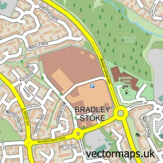
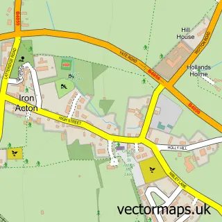
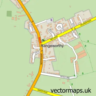
Nearby street map samples around Latteridge

More street maps in Gloucestershire
750 metre map area coverage
Boundary, postcode and point of interest information for the 750m x 750m rectangle centred on this sample map.
Boundaries containing map centre
Constituency: Thornbury and Yate Co Const
District: South Gloucestershire
Icb: NHS Bristol North Somerset and South Gloucestershire ICB
Parish: Iron Acton CP
Police Force: avon and somerset
Postcode District: BS37
Postcode Sector: BS37 9
Ward: Frampton Cotterell Ward
Nearby boundaries intersecting sample
No additional intersecting boundaries found.
Postcode coverage
POI category counts
Automotive Repair: 1
Building Supply Store: 1
Farm: 1
Financial Advising: 1
Forestry Service: 1
Machine And Tool Rentals: 1
Real Estate Agent: 1
Sample points of interest
- Acton Auto Maintenance
- Equiptest Ltd
- Organic Blooms
- Uniq Family Wealth
- Bristol Incubators
- Rubery Hire
- Bespoke Land
Create a larger editable map of Latteridge
This sample shows only a 750 metre area. To create a larger map of Latteridge, use our map builder to choose your own coverage area, add titles and download editable SVG, PDF and PNG files.
Create a custom map of Latteridge