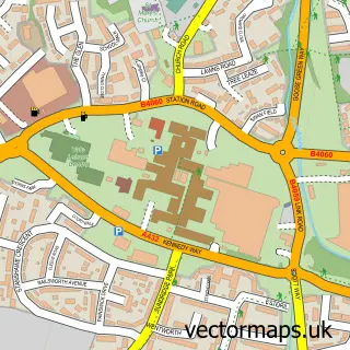
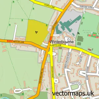
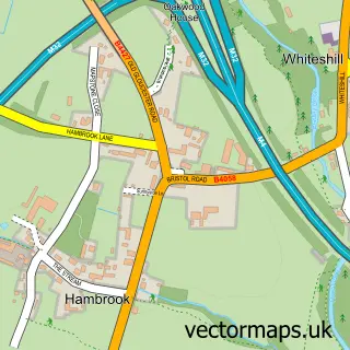
This Coalpit Heath street map is a detailed vector street map covering a 750m x 750m area. Select a larger area to create and download your own vector street map of Coalpit Heath.
The 750-metre map sample for Coalpit Heath covers 636 mapped buildings and approximately 21.2 km of road detail, of which 52 named roads are named. The immediate area includes 1 GP surgery within 2 miles and 1 MOT station, with 6 within 2 miles. The wider area around Coalpit Heath features 1 tourism point of interest. To create a larger or custom map of Coalpit Heath, the map builder lets you define your own coverage area and download editable SVG, PDF and PNG files.
Create a larger editable map of Coalpit Heath
Choose any area you need and generate a high-quality vector map instantly. Perfect for print, planning, design, business and personal use.

This Coalpit Heath street map in Gloucestershire is available as downloadable SVG, PDF and PNG map files, or as a printed map for planning, business, display, education, local information and design work. You can also create a larger custom map area using the map selector.
What this Coalpit Heath map sample shows
Coalpit Heath lies within Westerleigh Cp parish, part of Frampton Cotterell ward in the South Gloucestershire local authority area. The postcode geography for this area includes the BS postcode area, the BS36 postcode district and the BS36 2 postcode sector. Residents fall under the Nhs Bristol, North Somerset And South Gloucestershire Integrated Care Board for NHS services.
Local features near Coalpit Heath
Within 2 milesAmenities and services in and around Coalpit Heath.
Administrative and postcode information for Coalpit Heath
The local authority covering Coalpit Heath is South Gloucestershire, within the county of Gloucestershire. The settlement lies within Frampton Cotterell ward and Westerleigh Cp civil parish. The BS36 postcode district and BS36 2 postcode sector serve the immediate area. NHS provision in the area is delivered through North Bristol Nhs Trust.
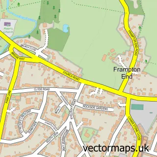
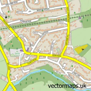
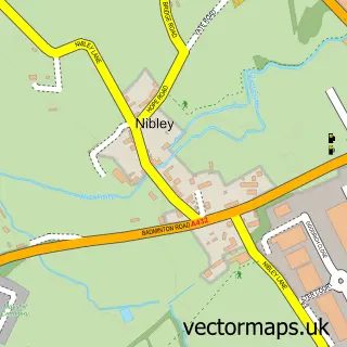
Nearby street map samples around Coalpit Heath

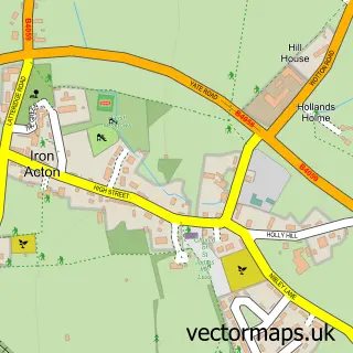
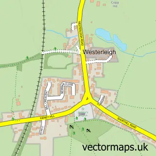
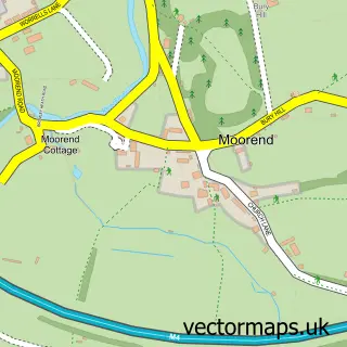
More street maps in Gloucestershire
750 metre map area coverage
Boundary, postcode and point of interest information for the 750m x 750m rectangle centred on this sample map.
Boundaries containing map centre
Constituency: Thornbury and Yate Co Const
District: South Gloucestershire
Icb: NHS Bristol North Somerset and South Gloucestershire ICB
Parish: Frampton Cotterell CP
Police Force: avon and somerset
Postcode District: BS36
Postcode Sector: BS36 2
Ward: Frampton Cotterell Ward
Nearby boundaries intersecting sample
Parish: Westerleigh and Coalpit Heath CP
Postcode coverage
POI category counts
Beauty Salon: 4
Automotive Repair: 3
Elementary School: 3
Business Management Services: 2
Church Cathedral: 2
Convenience Store: 2
Event Planning: 2
Plumbing: 2
Post Office: 2
Tutoring Center: 2
Sample points of interest
- St Saviour's Church
- Adventure Equipped
- 1st Class Car Valeting
- Action Windscreens
- Frampton Garage
- Prince Auto Services
- Bristol Refresh Aesthetics
- Framptons Hair Salon
- Salon 98
- Teila-Marie's Beauty
- Frampton Garage South Glos
- The Lost Coin
Create a larger editable map of Coalpit Heath
This sample shows only a 750 metre area. To create a larger map of Coalpit Heath, use our map builder to choose your own coverage area, add titles and download editable SVG, PDF and PNG files.
Create a custom map of Coalpit Heath