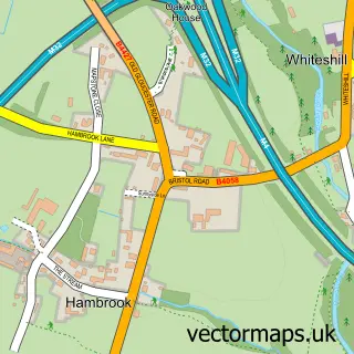
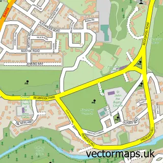
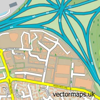
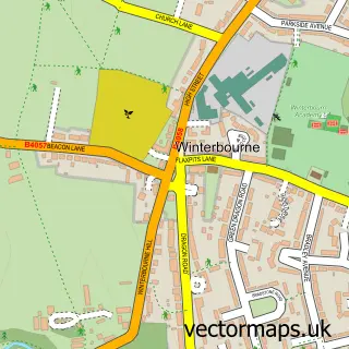
This Filton street map is a detailed vector street map covering a 750m x 750m area. Select a larger area to create and download your own vector street map of Filton.
The 750-metre map sample for Filton covers 460 mapped buildings and approximately 18.9 km of road detail, of which 26 named roads are named. The immediate area includes 7 GP surgeries within 2 miles, 4 pubs and 23 MOT stations within 2 miles. The wider area around Filton features 1 tourism point of interest, 6 food and drink venues and 3 hotels. To create a larger or custom map of Filton, the map builder lets you define your own coverage area and download editable SVG, PDF and PNG files.
Create a larger editable map of Filton
Choose any area you need and generate a high-quality vector map instantly. Perfect for print, planning, design, business and personal use.

This Filton street map in Gloucestershire is available as downloadable SVG, PDF and PNG map files, or as a printed map for planning, business, display, education, local information and design work. You can also create a larger custom map area using the map selector.
What this Filton map sample shows
Filton lies within Filton Cp parish, part of Filton ward in the South Gloucestershire local authority area. The postcode geography for this area includes the BS postcode area, the BS34 postcode district and the BS34 7 postcode sector. Residents fall under the Nhs Bristol, North Somerset And South Gloucestershire Integrated Care Board for NHS services.
Local features near Filton
Within 2 milesAmenities and services in and around Filton.
Administrative and postcode information for Filton
The local authority covering Filton is South Gloucestershire, within the county of Gloucestershire. The settlement lies within Filton ward and Filton Cp civil parish. The BS34 postcode district and BS34 7 postcode sector serve the immediate area. NHS provision in the area is delivered through North Bristol Nhs Trust.
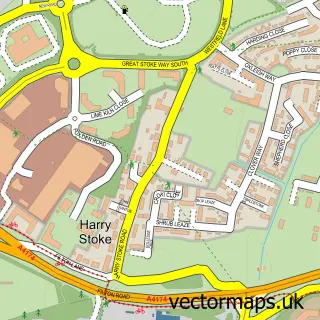
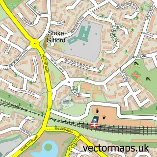
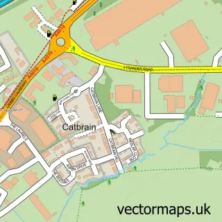
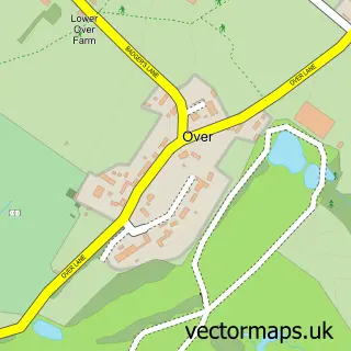
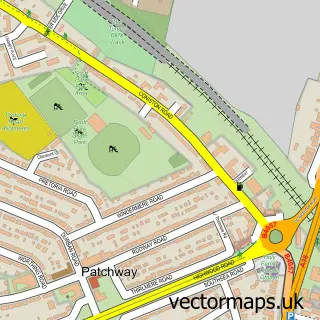
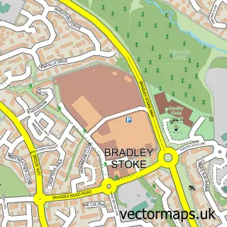
Nearby street map samples around Filton

More street maps in Gloucestershire
750 metre map area coverage
Boundary, postcode and point of interest information for the 750m x 750m rectangle centred on this sample map.
Boundaries containing map centre
Constituency: Filton and Bradley Stoke Boro Const
District: South Gloucestershire
Icb: NHS Bristol North Somerset and South Gloucestershire ICB
Parish: Filton CP
Police Force: avon and somerset
Postcode District: BS34
Postcode Sector: BS34 7
Ward: Filton Ward
Nearby boundaries intersecting sample
No additional intersecting boundaries found.
Postcode coverage
POI category counts
Convenience Store: 5
Pub: 4
Veterinarian: 4
College University: 3
Hotel: 3
Anglican Church: 2
Building Supply Store: 2
Doctor: 2
Fish And Chips Restaurant: 2
Garbage Collection Service: 2
Sample points of interest
- St Peter's
- St Peter's Church, Filton
- Fusion Delights
- Golden Oriental Filton
- Anchor Hanover - Hanover Court
- Filton Bristol
- R D Nelmes Electrical
- Direct Windscreens
- Down's Bakery
- NatWest Filton Bristol
- Bbq and grill
- Easy Bathrooms
Create a larger editable map of Filton
This sample shows only a 750 metre area. To create a larger map of Filton, use our map builder to choose your own coverage area, add titles and download editable SVG, PDF and PNG files.
Create a custom map of Filton