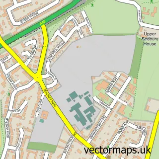
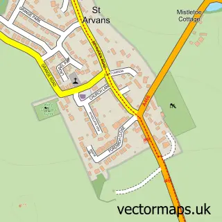
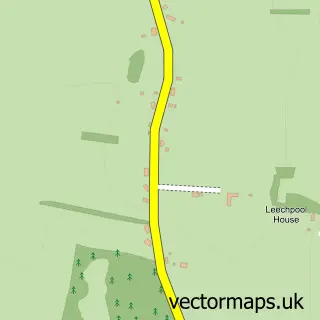
This Chepstow street map is a detailed vector street map covering a 750m x 750m area. Select a larger area to create and download your own vector street map of Chepstow.
The 750-metre map sample for Chepstow covers 349 mapped buildings and approximately 19.5 km of road detail, of which 46 named roads are named. The immediate area includes 2 schools, 2 GP surgeries within 2 miles, 13 pubs and 4 MOT stations within 2 miles. The wider area around Chepstow features 5 tourism points of interest, 34 food and drink venues and 6 hotels. To create a larger or custom map of Chepstow, the map builder lets you define your own coverage area and download editable SVG, PDF and PNG files.
Create a larger editable map of Chepstow
Choose any area you need and generate a high-quality vector map instantly. Perfect for print, planning, design, business and personal use.

This Chepstow street map in Gwent is available as downloadable SVG, PDF and PNG map files, or as a printed map for planning, business, display, education, local information and design work. You can also create a larger custom map area using the map selector.
What this Chepstow map sample shows
Chepstow lies within Chepstow Community parish, part of St. Mary's ward in the Sir Fynwy - Monmouthshire local authority area. The postcode geography for this area includes the NP postcode area, the NP16 postcode district and the NP16 5 postcode sector. Residents fall under the Aneurin Bevan University Health Board for NHS services.
Local features near Chepstow
Within 2 milesAmenities and services in and around Chepstow.
Administrative and postcode information for Chepstow
Chepstow lies within Chepstow Community parish, part of St. Mary's ward in the Sir Fynwy - Monmouthshire local authority area. The postcode geography for this area includes the NP postcode area, the NP16 postcode district and the NP16 5 postcode sector. Residents fall under the Aneurin Bevan University Health Board for NHS services.
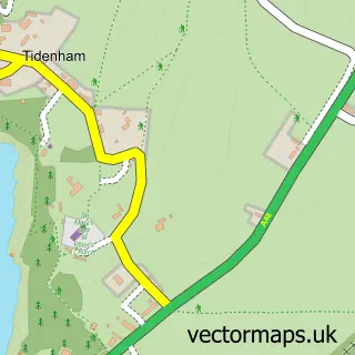
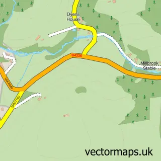
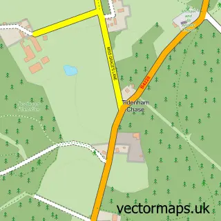
Nearby street map samples around Chepstow


More street maps in Gwent
750 metre map area coverage
Boundary, postcode and point of interest information for the 750m x 750m rectangle centred on this sample map.
Boundaries containing map centre
Constituency: Monmouthshire Co Const
District: Sir Fynwy - Monmouthshire
Icb: Aneurin Bevan University
Parish: Chepstow Community
Police Force: gwent
Postcode District: NP16
Postcode Sector: NP16 5
Nearby boundaries intersecting sample
Postcode Sector: NP16 7
Postcode coverage
POI category counts
Pub: 13
Beauty Salon: 11
Cafe: 10
Real Estate Agent: 10
Clothing Store: 9
Hair Salon: 9
Professional Services: 9
Legal Services: 8
Community Services Non Profits: 7
Gym: 7
Sample points of interest
- Bdhc Chartered Accountants
- Chepstow Walkers are Welcome
- Connexions
- Express Corporate
- Express Promotional Pens
- Performance Bonus
- Route 66
- Priory Church of St Mary
- RSPCA
- St Mary's Collectables
- A F Thomas Electricals
- HanPokes
Create a larger editable map of Chepstow
This sample shows only a 750 metre area. To create a larger map of Chepstow, use our map builder to choose your own coverage area, add titles and download editable SVG, PDF and PNG files.
Create a custom map of Chepstow