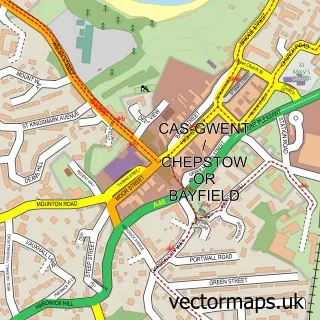
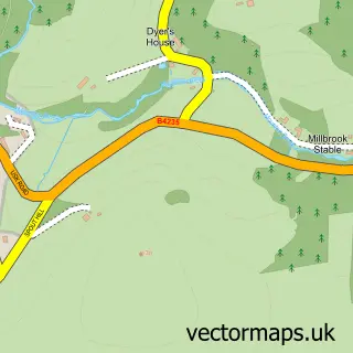
This St Arvans street map is a detailed vector street map covering a 750m x 750m area. Select a larger area to create and download your own vector street map of St Arvans.
The 750-metre map sample for St Arvans covers 209 mapped buildings and approximately 14.8 km of road detail, of which 10 named roads are named. The immediate area includes 1 GP surgery within 2 miles, 1 pub and 1 MOT station within 2 miles. The wider area around St Arvans features 1 tourism point of interest and 1 food and drink venue. To create a larger or custom map of St Arvans, the map builder lets you define your own coverage area and download editable SVG, PDF and PNG files.
Create a larger editable map of St Arvans
Choose any area you need and generate a high-quality vector map instantly. Perfect for print, planning, design, business and personal use.

This St Arvans street map in Gwent is available as downloadable SVG, PDF and PNG map files, or as a printed map for planning, business, display, education, local information and design work. You can also create a larger custom map area using the map selector.
What this St Arvans map sample shows
St Arvans lies within Chepstow Community parish, part of St. Arvans ward in the Sir Fynwy - Monmouthshire local authority area. The postcode geography for this area includes the NP postcode area, the NP16 postcode district and the NP16 6 postcode sector. Residents fall under the Aneurin Bevan University Health Board for NHS services.
Local features near St Arvans
Within 2 milesAmenities and services in and around St Arvans.
Administrative and postcode information for St Arvans
St Arvans lies within Chepstow Community parish, part of St. Arvans ward in the Sir Fynwy - Monmouthshire local authority area. The postcode geography for this area includes the NP postcode area, the NP16 postcode district and the NP16 6 postcode sector. Residents fall under the Aneurin Bevan University Health Board for NHS services.
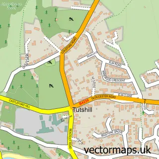
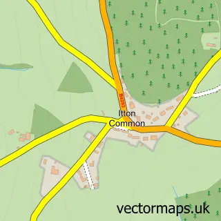
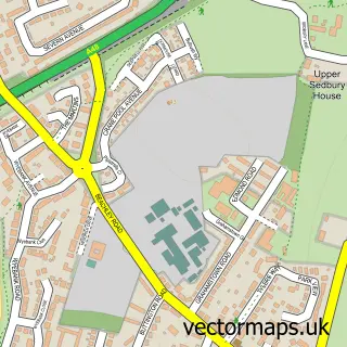
Nearby street map samples around St Arvans


More street maps in Gwent
750 metre map area coverage
Boundary, postcode and point of interest information for the 750m x 750m rectangle centred on this sample map.
Boundaries containing map centre
Constituency: Monmouthshire Co Const
District: Sir Fynwy - Monmouthshire
Icb: Aneurin Bevan University
Parish: St. Arvans Community
Police Force: gwent
Postcode District: NP16
Postcode Sector: NP16 6
Nearby boundaries intersecting sample
Parish: Chepstow Community
Postcode coverage
POI category counts
Beauty Product Supplier: 1
Beauty Salon: 1
Bed And Breakfast: 1
Church Cathedral: 1
Counseling And Mental Health: 1
Energy Company: 1
Equestrian Facility: 1
Event Planning: 1
Landmark And Historical Building: 1
Lawn Service: 1
Sample points of interest
- Mobile Beauty Treatments
- Pink Beauty Room
- Chepstow B&B
- St Arvans
- From the Hart Counselling
- Osprey Charging Station
- Ride and Stride
- St Arvans Village Hall
- St Arvans
- GreenThumb Chepstow
- St Arvans Taekwon-Do
- Wyes Dogs Boarding Kennels
Create a larger editable map of St Arvans
This sample shows only a 750 metre area. To create a larger map of St Arvans, use our map builder to choose your own coverage area, add titles and download editable SVG, PDF and PNG files.
Create a custom map of St Arvans