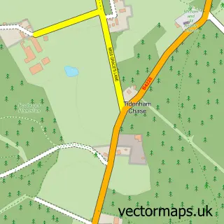
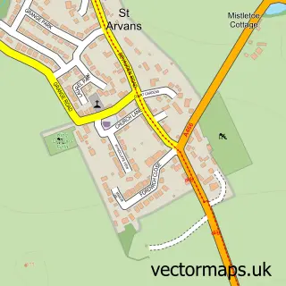
This Tidenham street map is a detailed vector street map covering a 750m x 750m area. Select a larger area to create and download your own vector street map of Tidenham.
The 750-metre map sample for Tidenham covers 55 mapped buildings and approximately 9.0 km of road detail, of which 1 named road are named. The immediate area includes 2 GP surgeries within 2 miles and 1 MOT station within 2 miles. The wider area around Tidenham features 1 tourism point of interest. To create a larger or custom map of Tidenham, the map builder lets you define your own coverage area and download editable SVG, PDF and PNG files.
Create a larger editable map of Tidenham
Choose any area you need and generate a high-quality vector map instantly. Perfect for print, planning, design, business and personal use.

This Tidenham street map in Gloucestershire is available as downloadable SVG, PDF and PNG map files, or as a printed map for planning, business, display, education, local information and design work. You can also create a larger custom map area using the map selector.
What this Tidenham map sample shows
Tidenham lies within Tidenham Cp parish, part of Tidenham ward in the Forest Of Dean District local authority area. The postcode geography for this area includes the NP postcode area, the NP16 postcode district and the NP16 7 postcode sector. Residents fall under the Nhs Gloucestershire Integrated Care Board for NHS services.
Local features near Tidenham
Within 2 milesAmenities and services in and around Tidenham.
Administrative and postcode information for Tidenham
Tidenham lies within Tidenham Cp parish, part of Tidenham ward in the Forest Of Dean District local authority area. The postcode geography for this area includes the NP postcode area, the NP16 postcode district and the NP16 7 postcode sector. Residents fall under the Nhs Gloucestershire Integrated Care Board for NHS services.
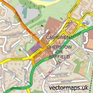
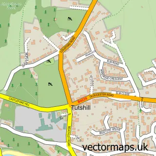
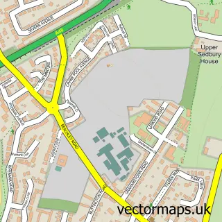
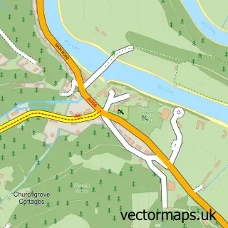
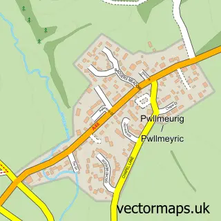
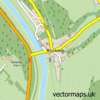
Nearby street map samples around Tidenham


More street maps in Gloucestershire
750 metre map area coverage
Boundary, postcode and point of interest information for the 750m x 750m rectangle centred on this sample map.
Boundaries containing map centre
Constituency: Forest of Dean Co Const
County: Gloucestershire County
District: Forest of Dean District
Icb: NHS Gloucestershire ICB
Parish: Tidenham CP
Police Force: gloucestershire
Postcode District: NP16
Postcode Sector: NP16 7
Ward: Tidenham Ward
Nearby boundaries intersecting sample
No additional intersecting boundaries found.
Postcode coverage
POI category counts
Agriculture: 1
Anglican Church: 1
Campground: 1
Church Cathedral: 1
Farm: 1
Golf Equipment: 1
Holiday Rental Home: 1
Preschool: 1
Sporting Goods: 1
Sports Club And League: 1
Sample points of interest
- Severndale Farm
- St Mary & St Peter, Tidenham
- Beeches Farm Campsite
- Tidenham Parish Church
- Madgetts Farm Game
- Golf Go Green
- Court park barn
- Oaks Park Montessori
- 1st Class Post
- Segway Active
- 12 Days & Nights of Christmas
Create a larger editable map of Tidenham
This sample shows only a 750 metre area. To create a larger map of Tidenham, use our map builder to choose your own coverage area, add titles and download editable SVG, PDF and PNG files.
Create a custom map of Tidenham