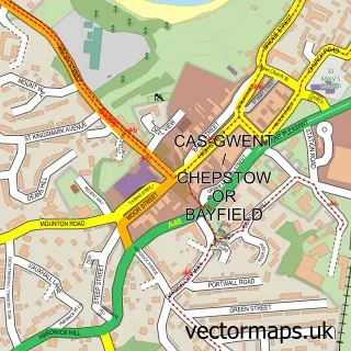
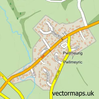
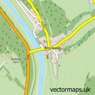
This Tutshill street map is a detailed vector street map covering a 750m x 750m area. Select a larger area to create and download your own vector street map of Tutshill.
The 750-metre map sample for Tutshill covers 354 mapped buildings and approximately 12.5 km of road detail, of which 24 named roads are named. The immediate area includes 1 school, 1 GP surgery, with 2 within 2 miles and 1 MOT station, with 3 within 2 miles. The wider area around Tutshill features 1 tourism point of interest and 1 food and drink venue. To create a larger or custom map of Tutshill, the map builder lets you define your own coverage area and download editable SVG, PDF and PNG files.
Create a larger editable map of Tutshill
Choose any area you need and generate a high-quality vector map instantly. Perfect for print, planning, design, business and personal use.

This Tutshill street map in Gloucestershire is available as downloadable SVG, PDF and PNG map files, or as a printed map for planning, business, display, education, local information and design work. You can also create a larger custom map area using the map selector.
What this Tutshill map sample shows
Tutshill lies within Tidenham Cp parish, part of Tidenham ward in the Forest Of Dean District local authority area. The postcode geography for this area includes the NP postcode area, the NP16 postcode district and the NP16 7 postcode sector. Residents fall under the Nhs Gloucestershire Integrated Care Board for NHS services.
Local features near Tutshill
Within 2 milesAmenities and services in and around Tutshill.
Administrative and postcode information for Tutshill
Tutshill lies within Tidenham Cp parish, part of Tidenham ward in the Forest Of Dean District local authority area. The postcode geography for this area includes the NP postcode area, the NP16 postcode district and the NP16 7 postcode sector. Residents fall under the Nhs Gloucestershire Integrated Care Board for NHS services.
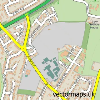
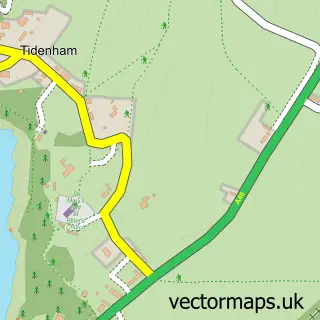
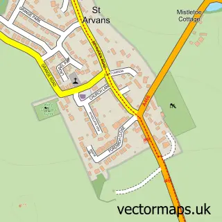
Nearby street map samples around Tutshill


More street maps in Gloucestershire
750 metre map area coverage
Boundary, postcode and point of interest information for the 750m x 750m rectangle centred on this sample map.
Boundaries containing map centre
Constituency: Forest of Dean Co Const
County: Gloucestershire County
District: Forest of Dean District
Icb: NHS Gloucestershire ICB
Parish: Tidenham CP
Police Force: gloucestershire
Postcode District: NP16
Postcode Sector: NP16 7
Ward: Tidenham Ward
Nearby boundaries intersecting sample
No additional intersecting boundaries found.
Postcode coverage
POI category counts
Charity Organization: 2
Convenience Store: 2
Education: 2
Supermarket: 2
Bar: 1
Beauty Salon: 1
Building Contractor: 1
Butcher Shop: 1
Cafe: 1
Car Dealer: 1
Sample points of interest
- Toast Tutshill
- The Salon - Hair & Beauty
- Chepstow Blinds & Tracks
- A & H Jones Butchers and Deli
- Café on The Hill
- Motor Services of Chepstow
- Wye Valley Carpentry and Framing
- Cancer Research UK
- Tutshill Rec
- Tidenham Memorial Hall
- Ricard Kitchens
- Best-one
Create a larger editable map of Tutshill
This sample shows only a 750 metre area. To create a larger map of Tutshill, use our map builder to choose your own coverage area, add titles and download editable SVG, PDF and PNG files.
Create a custom map of Tutshill