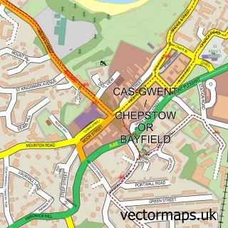
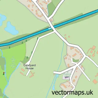
This Sedbury street map is a detailed vector street map covering a 750m x 750m area. Select a larger area to create and download your own vector street map of Sedbury.
The 750-metre map sample for Sedbury covers 415 mapped buildings and approximately 13.4 km of road detail, of which 21 named roads are named. The immediate area includes 1 primary school and 1 secondary school, 2 GP surgeries within 2 miles, 1 pub and 3 MOT stations within 2 miles. The wider area around Sedbury features 2 food and drink venues. To create a larger or custom map of Sedbury, the map builder lets you define your own coverage area and download editable SVG, PDF and PNG files.
Create a larger editable map of Sedbury
Choose any area you need and generate a high-quality vector map instantly. Perfect for print, planning, design, business and personal use.

This Sedbury street map in Gloucestershire is available as downloadable SVG, PDF and PNG map files, or as a printed map for planning, business, display, education, local information and design work. You can also create a larger custom map area using the map selector.
What this Sedbury map sample shows
Sedbury lies within Tidenham Cp parish, part of Tidenham ward in the Forest Of Dean District local authority area. The postcode geography for this area includes the NP postcode area, the NP16 postcode district and the NP16 7 postcode sector. Residents fall under the Nhs Gloucestershire Integrated Care Board for NHS services.
Local features near Sedbury
Within 2 milesAmenities and services in and around Sedbury.
Administrative and postcode information for Sedbury
The local authority covering Sedbury is Forest Of Dean District, within the county of Gloucestershire. The settlement lies within Tidenham ward and Tidenham Cp civil parish. The NP16 postcode district and NP16 7 postcode sector serve the immediate area. NHS provision in the area is delivered through Gloucestershire Hospitals Nhs Foundation Trust.
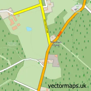
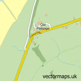
Nearby street map samples around Sedbury


More street maps in Gloucestershire
750 metre map area coverage
Boundary, postcode and point of interest information for the 750m x 750m rectangle centred on this sample map.
Boundaries containing map centre
Constituency: Forest of Dean Co Const
County: Gloucestershire County
District: Forest of Dean District
Icb: NHS Gloucestershire ICB
Parish: Tidenham CP
Police Force: gloucestershire
Postcode District: NP16
Postcode Sector: NP16 7
Ward: Tidenham Ward
Nearby boundaries intersecting sample
No additional intersecting boundaries found.
Postcode coverage
POI category counts
Professional Services: 3
Business Management Services: 2
Butcher Shop: 2
Painting: 2
School: 2
Assisted Living Facility: 1
Atms: 1
Bar: 1
Barber: 1
Beauty And Spa: 1
Sample points of interest
- The Lodge
- BR Spar Sedbury, Sedbury
- Tidenham RBL Sedbury
- Sedbury Barbers
- LJC Aesthetics
- Poyntz Hair Studio
- C & D Pest Control
- Post Office-Sedbury
- Sedbury Post Office
- Fuller Tankers
- Marks Mobile Butchers Shop
- Sedbury Butchers
Create a larger editable map of Sedbury
This sample shows only a 750 metre area. To create a larger map of Sedbury, use our map builder to choose your own coverage area, add titles and download editable SVG, PDF and PNG files.
Create a custom map of Sedbury