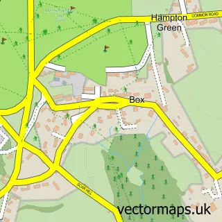
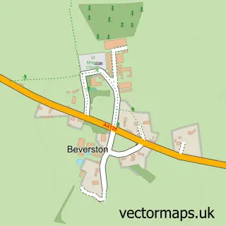
This Avening street map is a detailed vector street map covering a 750m x 750m area. Select a larger area to create and download your own vector street map of Avening.
The 750-metre map sample for Avening covers 254 mapped buildings and approximately 17.0 km of road detail, of which 19 named roads are named. The immediate area includes 2 pubs and 1 MOT station within 2 miles. The wider area around Avening features 2 food and drink venues and 1 campsite within 2 miles. To create a larger or custom map of Avening, the map builder lets you define your own coverage area and download editable SVG, PDF and PNG files.
Create a larger editable map of Avening
Choose any area you need and generate a high-quality vector map instantly. Perfect for print, planning, design, business and personal use.

This Avening street map in Gloucestershire is available as downloadable SVG, PDF and PNG map files, or as a printed map for planning, business, display, education, local information and design work. You can also create a larger custom map area using the map selector.
What this Avening map sample shows
Avening lies within Avening Cp parish, part of Grumbolds Ash With Avening ward in the Cotswold District local authority area. The postcode geography for this area includes the GL postcode area, the GL8 postcode district and the GL8 8 postcode sector. Residents fall under the Nhs Gloucestershire Integrated Care Board for NHS services.
Local features near Avening
Within 2 milesAmenities and services in and around Avening.
Administrative and postcode information for Avening
The local authority covering Avening is Cotswold District, within the county of Gloucestershire. The settlement lies within Grumbolds Ash With Avening ward and Avening Cp civil parish. The GL8 postcode district and GL8 8 postcode sector serve the immediate area. NHS provision in the area is delivered through Gloucestershire Hospitals Nhs Foundation Trust.
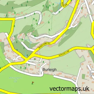
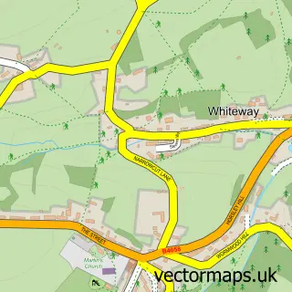
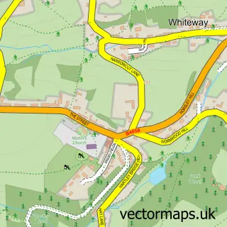
Nearby street map samples around Avening

More street maps in Gloucestershire
750 metre map area coverage
Boundary, postcode and point of interest information for the 750m x 750m rectangle centred on this sample map.
Boundaries containing map centre
Constituency: South Cotswolds Co Const
County: Gloucestershire County
District: Cotswold District
Icb: NHS Gloucestershire ICB
Parish: Avening CP
Police Force: gloucestershire
Postcode District: GL8
Postcode Sector: GL8 8
Ward: Grumbolds Ash with Avening Ward
Nearby boundaries intersecting sample
No additional intersecting boundaries found.
Postcode coverage
POI category counts
Professional Services: 3
Furniture Store: 2
Pub: 2
Advertising Agency: 1
Appliance Store: 1
Bed And Breakfast: 1
Building Supply Store: 1
Business Management Services: 1
Carpenter: 1
Christmas Trees: 1
Sample points of interest
- One Brand Group
- Nailsworth Domestic Appliance Repairs
- Queen Matilda Country Inn
- MJW French Polishing
- Quiver Management Ltd.
- Timber-Tech
- Quercus Trees & Landscapes
- Marshalls School of Motoring
- Avening Primary School
- Action Optics
- Original Metal Box
- Pawsagainstpalms
Create a larger editable map of Avening
This sample shows only a 750 metre area. To create a larger map of Avening, use our map builder to choose your own coverage area, add titles and download editable SVG, PDF and PNG files.
Create a custom map of Avening