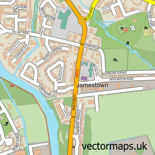
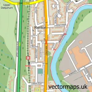
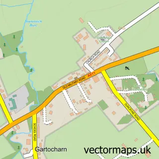
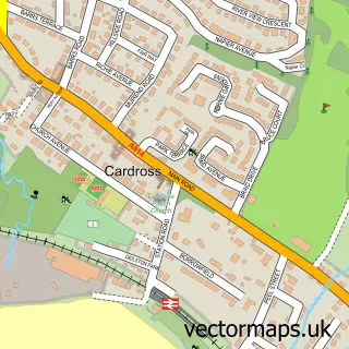
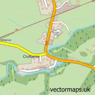
This Balloch street map is a detailed vector street map covering a 750m x 750m area. Select a larger area to create and download your own vector street map of Balloch.
The 750-metre map sample for Balloch covers 335 mapped buildings and approximately 19.1 km of road detail, of which 30 named roads are named. The immediate area includes 1 railway station, 4 GP surgeries within 2 miles, 5 pubs and 6 MOT stations within 2 miles. The wider area around Balloch features 6 tourism points of interest, 10 food and drink venues and 6 hotels. To create a larger or custom map of Balloch, the map builder lets you define your own coverage area and download editable SVG, PDF and PNG files.
Create a larger editable map of Balloch
Choose any area you need and generate a high-quality vector map instantly. Perfect for print, planning, design, business and personal use.

This Balloch street map in Dunbartonshire is available as downloadable SVG, PDF and PNG map files, or as a printed map for planning, business, display, education, local information and design work. You can also create a larger custom map area using the map selector.
What this Balloch map sample shows
Balloch lies within West Dunbartonshire parish, part of Lomond ward in the West Dunbartonshire local authority area. The postcode geography for this area includes the G postcode area, the G83 postcode district and the G83 8 postcode sector. Residents fall under the Greater Glasgow And Clyde for NHS services.
Local features near Balloch
Within 2 milesAmenities and services in and around Balloch.
Administrative and postcode information for Balloch
The local authority covering Balloch is West Dunbartonshire, within the county of Dunbartonshire. The settlement lies within Lomond ward and West Dunbartonshire civil parish. The G83 postcode district and G83 8 postcode sector serve the immediate area. NHS provision in the area is delivered through Greater Glasgow And Clyde.
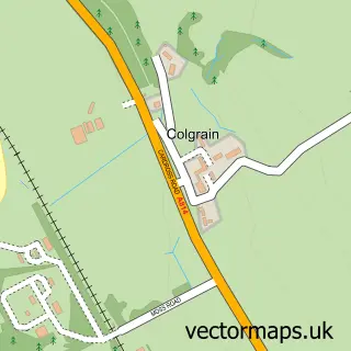
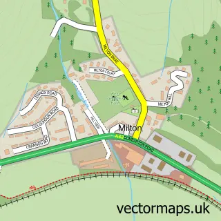
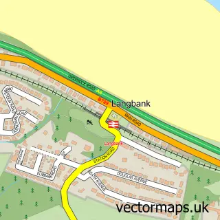
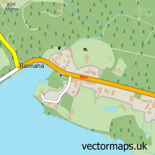
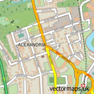
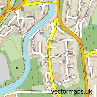
Nearby street map samples around Balloch

More street maps in Dunbartonshire
750 metre map area coverage
Boundary, postcode and point of interest information for the 750m x 750m rectangle centred on this sample map.
Boundaries containing map centre
Constituency: West Dunbartonshire Co Const
District: West Dunbartonshire
Icb: Greater Glasgow and Clyde
Postcode District: G83
Postcode Sector: G83 8
Ward: Lomond Ward
Nearby boundaries intersecting sample
Postcode District: G63
Postcode Sector: G63 0, G83 0
Postcode coverage
POI category counts
Bed And Breakfast: 9
Hotel: 6
Pub: 5
Convenience Store: 4
Cafe: 3
Park: 3
Bar: 2
Boat Dealer: 2
Church Cathedral: 2
Fish And Chips Restaurant: 2
Sample points of interest
- The Cooperative Food (BF) Balloch (ERF), Balloch
- Monkey Island Bar & Cafe
- Waterfront
- Hair Lounge Balloch
- Anchorage Guest House
- Gowanlea Guesthouse
- Lomond Villa
- Norwood Guest House
- Palombo S Fish & Chips
- Palombo's Of Balloch
- Station Cottages
- Time Out Bed & Breakfast
Create a larger editable map of Balloch
This sample shows only a 750 metre area. To create a larger map of Balloch, use our map builder to choose your own coverage area, add titles and download editable SVG, PDF and PNG files.
Create a custom map of Balloch