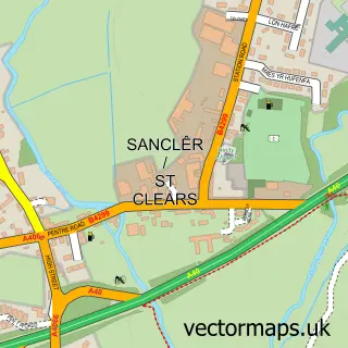
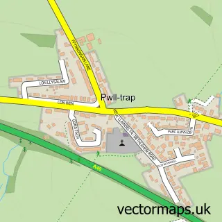
This Banc-y-felin street map is a detailed vector street map covering a 750m x 750m area. Select a larger area to create and download your own vector street map of Banc-y-felin.
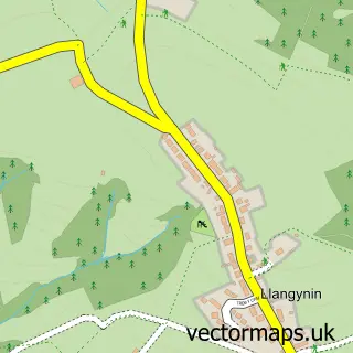
The 750-metre map sample for Banc-y-felin covers 109 mapped buildings and approximately 10.0 km of road detail, of which 4 named roads are named. The immediate area includes 1 school and 2 pubs. The wider area around Banc-y-felin features 2 food and drink venues. To create a larger or custom map of Banc-y-felin, the map builder lets you define your own coverage area and download editable SVG, PDF and PNG files.
Create a larger editable map of Banc-y-felin
Choose any area you need and generate a high-quality vector map instantly. Perfect for print, planning, design, business and personal use.

This Banc-y-felin street map in Dyfed is available as downloadable SVG, PDF and PNG map files, or as a printed map for planning, business, display, education, local information and design work. You can also create a larger custom map area using the map selector.
What this Banc-y-felin map sample shows
Banc-y-felin lies within St. Clears Community parish, part of St. Clears ward in the Sir Gaerfyrddin - Carmarthenshire local authority area. The postcode geography for this area includes the SA postcode area, the SA33 postcode district and the SA33 5 postcode sector. Residents fall under the Hywel Dda University Health Board for NHS services.
Local features near Banc-y-felin
Within 2 milesAmenities and services in and around Banc-y-felin.
Administrative and postcode information for Banc-y-felin
Banc-y-felin lies within St. Clears Community parish, part of St. Clears ward in the Sir Gaerfyrddin - Carmarthenshire local authority area. The postcode geography for this area includes the SA postcode area, the SA33 postcode district and the SA33 5 postcode sector. Residents fall under the Hywel Dda University Health Board for NHS services.
Nearby street map samples around Banc-y-felin

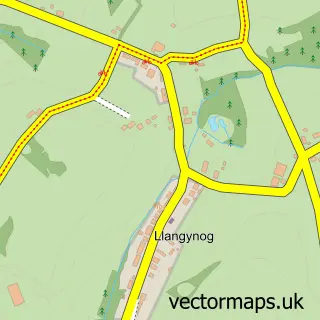
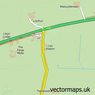
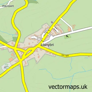
More street maps in Dyfed
750 metre map area coverage
Boundary, postcode and point of interest information for the 750m x 750m rectangle centred on this sample map.
Boundaries containing map centre
Constituency: Caerfyrddin Co Const
District: Sir Gaerfyrddin - Carmarthenshire
Icb: Hywel Dda
Parish: St. Clears Community
Police Force: dyfed-powys
Postcode District: SA33
Postcode Sector: SA33 5
Nearby boundaries intersecting sample
Parish: Llangynog Community
Postcode coverage
POI category counts
Pub: 2
Shipping Center: 2
Community Center: 1
Health And Medical: 1
Hospital: 1
Post Office: 1
School: 1
Shopping: 1
Sample points of interest
- Bancyfelin Village Hall
- BMI Healthcare
- Werndale Hospital
- Post Office
- Fox and Hounds Bancyfelin
- The Fox & Hounds
- Cylch Meithrin Bancyfelin
- Bancyfelin Post Office
- Post Office-Bancyfelin
- Bancyfelin Post Office & Stores
Create a larger editable map of Banc-y-felin
This sample shows only a 750 metre area. To create a larger map of Banc-y-felin, use our map builder to choose your own coverage area, add titles and download editable SVG, PDF and PNG files.
Create a custom map of Banc-y-felin