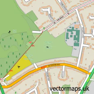
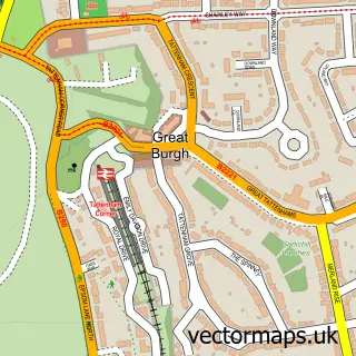
This Banstead street map is a detailed vector street map covering a 750m x 750m area. Select a larger area to create and download your own vector street map of Banstead.
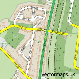
The 750-metre map sample for Banstead covers 368 mapped buildings and approximately 18.4 km of road detail, of which 35 named roads are named. The immediate area includes 3 GP surgeries within 2 miles, 1 pub and 3 MOT stations within 2 miles. The wider area around Banstead features 2 tourism points of interest and 9 food and drink venues. To create a larger or custom map of Banstead, the map builder lets you define your own coverage area and download editable SVG, PDF and PNG files.
Create a larger editable map of Banstead
Choose any area you need and generate a high-quality vector map instantly. Perfect for print, planning, design, business and personal use.

This Banstead street map in Surrey is available as downloadable SVG, PDF and PNG map files, or as a printed map for planning, business, display, education, local information and design work. You can also create a larger custom map area using the map selector.
What this Banstead map sample shows
Banstead lies within Surrey County parish, part of Nork ward in the Reigate And Banstead District (B) local authority area. The postcode geography for this area includes the SM postcode area, the SM7 postcode district and the SM7 1 postcode sector. Residents fall under the Nhs Surrey Heartlands Integrated Care Board for NHS services.
Local features near Banstead
Within 2 milesAmenities and services in and around Banstead.
Administrative and postcode information for Banstead
Banstead lies within Surrey County parish, part of Nork ward in the Reigate And Banstead District (B) local authority area. The postcode geography for this area includes the SM postcode area, the SM7 postcode district and the SM7 1 postcode sector. Residents fall under the Nhs Surrey Heartlands Integrated Care Board for NHS services.
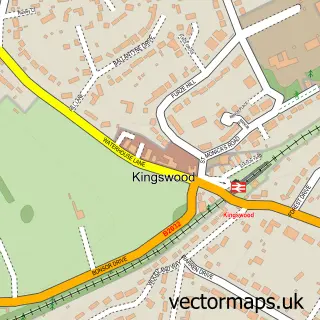
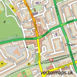
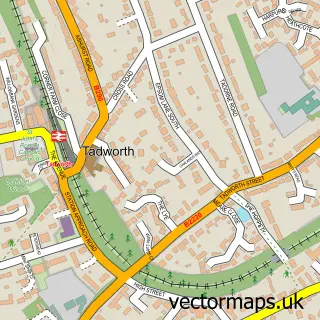
Nearby street map samples around Banstead

More street maps in Surrey
750 metre map area coverage
Boundary, postcode and point of interest information for the 750m x 750m rectangle centred on this sample map.
Boundaries containing map centre
Constituency: Reigate Co Const
County: Surrey County
District: Reigate and Banstead District (B)
Icb: NHS Surrey and Sussex ICB
Police Force: surrey
Postcode District: SM7
Postcode Sector: SM7 2
Ward: Banstead Village Ward
Nearby boundaries intersecting sample
Postcode Sector: SM7 3
Postcode coverage
POI category counts
Real Estate Agent: 11
Beauty Salon: 9
Beauty And Spa: 6
Church Cathedral: 6
Bank Credit Union: 5
Barber: 5
Building Supply Store: 5
Coffee Shop: 5
Hair Salon: 5
Key And Locksmith: 5
Sample points of interest
- Ascendant Partners
- All Saints, Banstead
- Polka Pots
- 1st Choice Domestic Appliances
- All Spares
- Art of Living
- Banstead War Memorial
- Banstead Art Group - Page
- Art Now - Banstead Art School
- Mencap
- Halifax ATM
- PayPoint
Create a larger editable map of Banstead
This sample shows only a 750 metre area. To create a larger map of Banstead, use our map builder to choose your own coverage area, add titles and download editable SVG, PDF and PNG files.
Create a custom map of Banstead