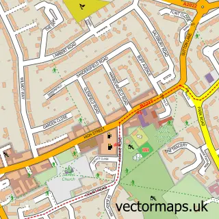
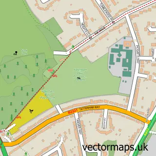
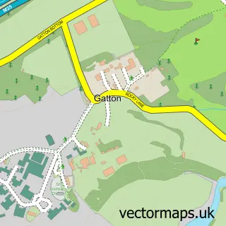
This Tadworth street map is a detailed vector street map covering a 750m x 750m area. Select a larger area to create and download your own vector street map of Tadworth.
The 750-metre map sample for Tadworth covers 460 mapped buildings and approximately 16.2 km of road detail, of which 31 named roads are named. The immediate area includes 1 school, 1 railway station, 3 GP surgeries within 2 miles and 1 MOT station, with 5 within 2 miles. The wider area around Tadworth features 2 tourism points of interest and 3 food and drink venues. To create a larger or custom map of Tadworth, the map builder lets you define your own coverage area and download editable SVG, PDF and PNG files.
Create a larger editable map of Tadworth
Choose any area you need and generate a high-quality vector map instantly. Perfect for print, planning, design, business and personal use.

This Tadworth street map in Surrey is available as downloadable SVG, PDF and PNG map files, or as a printed map for planning, business, display, education, local information and design work. You can also create a larger custom map area using the map selector.
What this Tadworth map sample shows
Tadworth lies within Surrey County parish, part of Lower Kingswood, Tadworth & Walton ward in the Reigate And Banstead District (B) local authority area. The postcode geography for this area includes the KT postcode area, the KT20 postcode district and the KT20 5 postcode sector. Residents fall under the Nhs Surrey Heartlands Integrated Care Board for NHS services.
Local features near Tadworth
Within 2 milesAmenities and services in and around Tadworth.
Administrative and postcode information for Tadworth
The local authority covering Tadworth is Reigate And Banstead District (B), within the county of Surrey. The settlement lies within Lower Kingswood, Tadworth & Walton ward and Surrey County civil parish. The KT20 postcode district and KT20 5 postcode sector serve the immediate area. NHS provision in the area is delivered through Epsom And St Helier University Hospitals Nhs Trust.
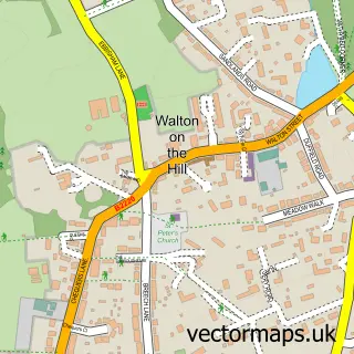
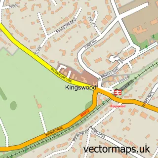
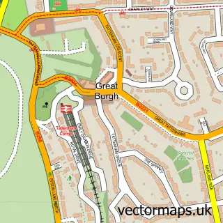
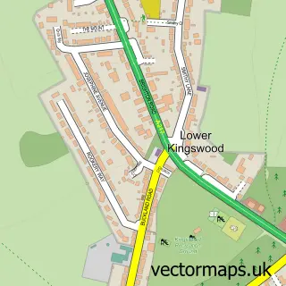
Nearby street map samples around Tadworth

More street maps in Surrey
750 metre map area coverage
Boundary, postcode and point of interest information for the 750m x 750m rectangle centred on this sample map.
Boundaries containing map centre
Constituency: Reigate Co Const
County: Surrey County
District: Reigate and Banstead District (B)
Icb: NHS Surrey and Sussex ICB
Police Force: surrey
Postcode District: KT20
Postcode Sector: KT20 5
Ward: Lower Kingswood, Tadworth & Walton Ward
Nearby boundaries intersecting sample
No additional intersecting boundaries found.
Postcode coverage
POI category counts
Automotive Repair: 3
Coffee Shop: 3
Contractor: 3
Professional Services: 3
Real Estate Agent: 3
Anglican Church: 2
Bakery: 2
Banks: 2
Convenience Store: 2
Day Care Preschool: 2
Sample points of interest
- Tadworth Pilates
- Tadworth Acupuncture
- Heaven Mountain
- Church of the Good Shepherd
- The Church of The Good Shepherd, Tadworth
- The Rowans
- Cooper Tadworth MINI
- MT Motors
- Tadworth Autos
- Tadworth MOT
- Chalet Bakers' Shops
- KT20 BakeHouse
Create a larger editable map of Tadworth
This sample shows only a 750 metre area. To create a larger map of Tadworth, use our map builder to choose your own coverage area, add titles and download editable SVG, PDF and PNG files.
Create a custom map of Tadworth