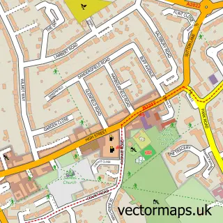
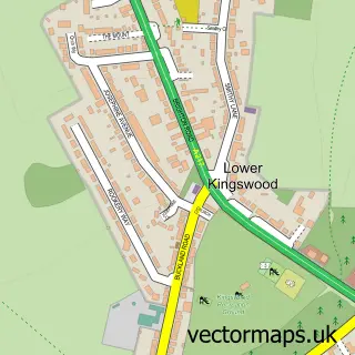
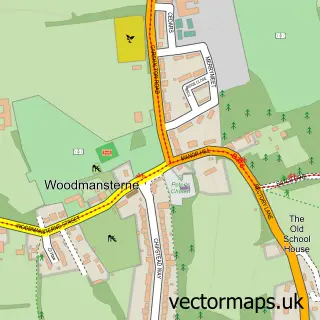
This Kingswood street map is a detailed vector street map covering a 750m x 750m area. Select a larger area to create and download your own vector street map of Kingswood.
The 750-metre map sample for Kingswood covers 270 mapped buildings and approximately 10.9 km of road detail, of which 15 named roads are named. The immediate area includes 1 railway station, 3 GP surgeries within 2 miles, 1 pub and 4 MOT stations within 2 miles. The wider area around Kingswood features 4 food and drink venues and 1 hotel. To create a larger or custom map of Kingswood, the map builder lets you define your own coverage area and download editable SVG, PDF and PNG files.
Create a larger editable map of Kingswood
Choose any area you need and generate a high-quality vector map instantly. Perfect for print, planning, design, business and personal use.

This Kingswood street map in Surrey is available as downloadable SVG, PDF and PNG map files, or as a printed map for planning, business, display, education, local information and design work. You can also create a larger custom map area using the map selector.
What this Kingswood map sample shows
Kingswood lies within Surrey County parish, part of Lower Kingswood, Tadworth & Walton ward in the Reigate And Banstead District (B) local authority area. The postcode geography for this area includes the KT postcode area, the KT20 postcode district and the KT20 5 postcode sector. Residents fall under the Nhs Surrey Heartlands Integrated Care Board for NHS services.
Local features near Kingswood
Within 2 milesAmenities and services in and around Kingswood.
Administrative and postcode information for Kingswood
Kingswood lies within Surrey County parish, part of Lower Kingswood, Tadworth & Walton ward in the Reigate And Banstead District (B) local authority area. The postcode geography for this area includes the KT postcode area, the KT20 postcode district and the KT20 5 postcode sector. Residents fall under the Nhs Surrey Heartlands Integrated Care Board for NHS services.
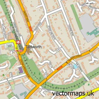
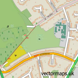
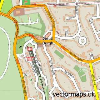
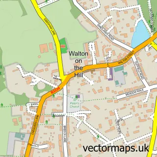
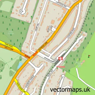
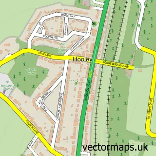
Nearby street map samples around Kingswood

More street maps in Surrey
750 metre map area coverage
Boundary, postcode and point of interest information for the 750m x 750m rectangle centred on this sample map.
Boundaries containing map centre
Constituency: Reigate Co Const
County: Surrey County
District: Reigate and Banstead District (B)
Icb: NHS Surrey and Sussex ICB
Police Force: surrey
Postcode District: KT20
Postcode Sector: KT20 6
Ward: Chipstead, Kingswood & Woodmansterne Ward
Nearby boundaries intersecting sample
No additional intersecting boundaries found.
Postcode coverage
POI category counts
Assisted Living Facility: 2
Beauty Salon: 2
Cafe: 2
Convenience Store: 2
Property Management: 2
Real Estate Agent: 2
Shipping Center: 2
Asian Restaurant: 1
Banks: 1
Bar: 1
Sample points of interest
- New Khyber Restaurant Kingswood
- Bupa Winscombe Nursing Home
- Maria Mallaband Nursing Home
- Barclays Bank
- La Perla
- Mr Kingswood
- Dollies Beauty Medispa
- VSL Nail & Beauty Salon & VSL Urban Retreat Spa Days
- Dp Gas Services Limited
- Daniel Consulting
- No 12 Restaurant
- Waterhouse Cafe
Create a larger editable map of Kingswood
This sample shows only a 750 metre area. To create a larger map of Kingswood, use our map builder to choose your own coverage area, add titles and download editable SVG, PDF and PNG files.
Create a custom map of Kingswood