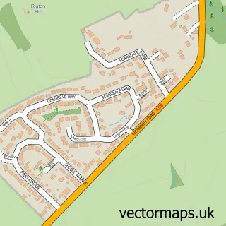
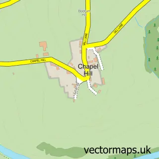
This Bardsey street map is a detailed vector street map covering a 750m x 750m area. Select a larger area to create and download your own vector street map of Bardsey.
The 750-metre map sample for Bardsey covers 166 mapped buildings and approximately 6.8 km of road detail, of which 9 named roads are named. The immediate area includes 1 school and 3 pubs. The wider area around Bardsey features 1 tourism point of interest, 3 food and drink venues and 3 campsites within 2 miles. To create a larger or custom map of Bardsey, the map builder lets you define your own coverage area and download editable SVG, PDF and PNG files.
Create a larger editable map of Bardsey
Choose any area you need and generate a high-quality vector map instantly. Perfect for print, planning, design, business and personal use.

This Bardsey street map in West Yorkshire is available as downloadable SVG, PDF and PNG map files, or as a printed map for planning, business, display, education, local information and design work. You can also create a larger custom map area using the map selector.
What this Bardsey map sample shows
Bardsey lies within Bardsey Cum Rigton Cp parish, part of Harewood ward in the Leeds District (B) local authority area. The postcode geography for this area includes the LS postcode area, the LS17 postcode district and the LS17 9 postcode sector. Residents fall under the Nhs West Yorkshire Integrated Care Board for NHS services.
Local features near Bardsey
Within 2 milesAmenities and services in and around Bardsey.
Administrative and postcode information for Bardsey
The local authority covering Bardsey is Leeds District (B), within the county of West Yorkshire. The settlement lies within Harewood ward and Bardsey Cum Rigton Cp civil parish. The LS17 postcode district and LS17 9 postcode sector serve the immediate area. NHS provision in the area is delivered through Harrogate And District Nhs Foundation Trust.
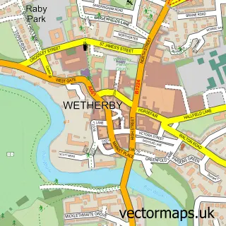
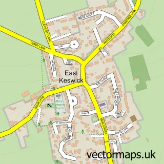
Nearby street map samples around Bardsey

More street maps in West Yorkshire
750 metre map area coverage
Boundary, postcode and point of interest information for the 750m x 750m rectangle centred on this sample map.
Boundaries containing map centre
Constituency: Wetherby and Easingwold Co Const
District: Leeds District (B)
Icb: NHS West Yorkshire ICB
Parish: Bardsey cum Rigton CP
Police Force: west yorkshire
Postcode District: LS17
Postcode Sector: LS17 9
Ward: Harewood Ward
Nearby boundaries intersecting sample
No additional intersecting boundaries found.
Postcode coverage
POI category counts
Pub: 3
Church Cathedral: 2
Elementary School: 2
Anglican Church: 1
Community Center: 1
Environmental Conservation Organization: 1
Food Beverage Service Distribution: 1
Landmark And Historical Building: 1
Language School: 1
Lodge: 1
Sample points of interest
- All Hallows, Bardsey
- All Hallows Church
- The Parish of Bardsey office
- Bardsey Village Hall
- Bardsey Primary Academy
- Bardsey Primary School
- Environmental Project Management
- Eggleston Catering Services
- Bardsey Castle Hill
- Fun French And Spanish - LCF Clubs -DEBBIE BROWN
- Thoresby Lodge No. 4920 - Masonic Lodge in Pudsey
- Bingley Arms
Create a larger editable map of Bardsey
This sample shows only a 750 metre area. To create a larger map of Bardsey, use our map builder to choose your own coverage area, add titles and download editable SVG, PDF and PNG files.
Create a custom map of Bardsey