This Barham street map is a detailed vector street map covering a 750m x 750m area. Select a larger area to create and download your own vector street map of Barham.
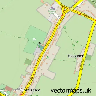
The 750-metre map sample for Barham covers 246 mapped buildings and approximately 12.5 km of road detail, of which 19 named roads are named. The immediate area includes 1 school, 1 pub and 3 MOT stations within 2 miles. The wider area around Barham features 1 food and drink venue and 1 campsite within 2 miles. To create a larger or custom map of Barham, the map builder lets you define your own coverage area and download editable SVG, PDF and PNG files.
Create a larger editable map of Barham
Choose any area you need and generate a high-quality vector map instantly. Perfect for print, planning, design, business and personal use.

This Barham street map in Kent is available as downloadable SVG, PDF and PNG map files, or as a printed map for planning, business, display, education, local information and design work. You can also create a larger custom map area using the map selector.
What this Barham map sample shows
Barham lies within Barham Cp parish, part of Nailbourne ward in the Canterbury District (B) local authority area. The postcode geography for this area includes the CT postcode area, the CT4 postcode district and the CT4 6 postcode sector. Residents fall under the Nhs Kent And Medway Integrated Care Board for NHS services.
Local features near Barham
Within 2 milesAmenities and services in and around Barham.
Administrative and postcode information for Barham
The local authority covering Barham is Canterbury District (B), within the county of Kent. The settlement lies within Nailbourne ward and Barham Cp civil parish. The CT4 postcode district and CT4 6 postcode sector serve the immediate area. NHS provision in the area is delivered through East Kent Hospitals University Nhs Foundation Trust.
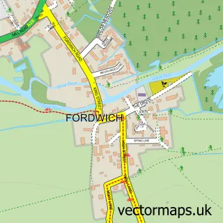
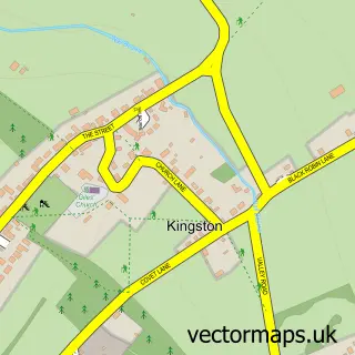
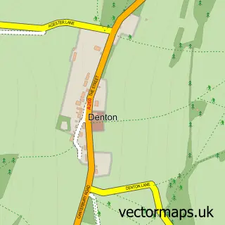
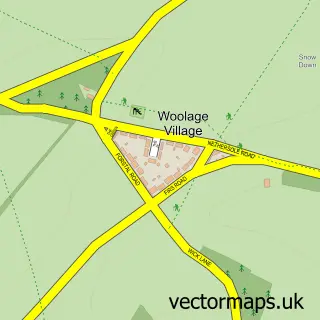
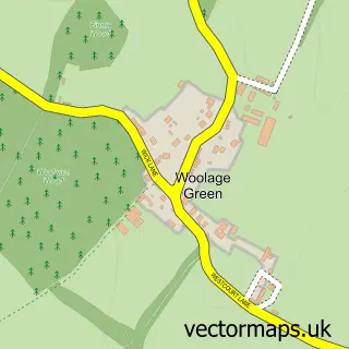
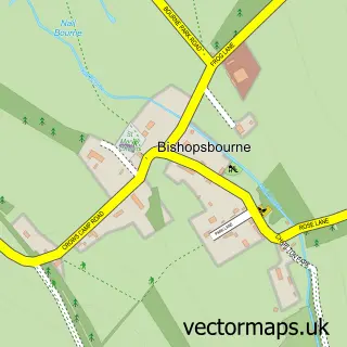
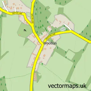
Nearby street map samples around Barham

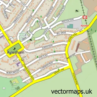
More street maps in Kent
750 metre map area coverage
Boundary, postcode and point of interest information for the 750m x 750m rectangle centred on this sample map.
Boundaries containing map centre
Constituency: Canterbury Co Const
County: Kent County
District: Canterbury District (B)
Icb: NHS Kent and Medway ICB
Parish: Barham CP
Police Force: kent
Postcode District: CT4
Postcode Sector: CT4 6
Ward: Nailbourne Ward
Nearby boundaries intersecting sample
No additional intersecting boundaries found.
Postcode coverage
POI category counts
Anglican Church: 1
Assisted Living Facility: 1
Bookkeeper: 1
Church Cathedral: 1
Community Center: 1
Convenience Store: 1
Dance School: 1
Educational Services: 1
Elementary School: 1
Financial Service: 1
Sample points of interest
- St John the Baptist
- Barham House Nursing Home
- South East Bookkeeping
- Barham Church
- Barham Village Hall
- Barham Village Store
- Streets Dance Company
- Kingston Driving School
- Barham Church of England Primary School
- Western Union
- Powawalker
- A R Davies Farm Services
Create a larger editable map of Barham
This sample shows only a 750 metre area. To create a larger map of Barham, use our map builder to choose your own coverage area, add titles and download editable SVG, PDF and PNG files.
Create a custom map of Barham