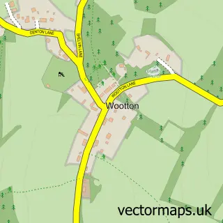
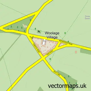
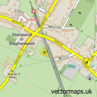
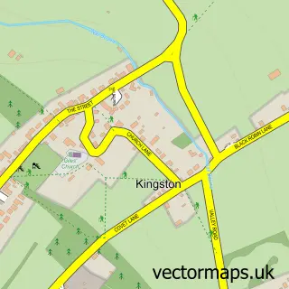
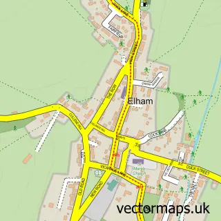
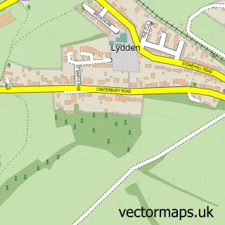
This Denton street map is a detailed vector street map covering a 750m x 750m area. Select a larger area to create and download your own vector street map of Denton.
The 750-metre map sample for Denton covers 37 mapped buildings and approximately 5.4 km of road detail, of which 4 named roads are named. The immediate area includes 1 pub and 2 MOT stations within 2 miles. The wider area around Denton features 1 food and drink venue and 2 campsites within 2 miles. To create a larger or custom map of Denton, the map builder lets you define your own coverage area and download editable SVG, PDF and PNG files.
Create a larger editable map of Denton
Choose any area you need and generate a high-quality vector map instantly. Perfect for print, planning, design, business and personal use.

This Denton street map in Kent is available as downloadable SVG, PDF and PNG map files, or as a printed map for planning, business, display, education, local information and design work. You can also create a larger custom map area using the map selector.
What this Denton map sample shows
Denton lies within Denton With Wootton Cp parish, part of Dover Downs & River ward in the Dover District local authority area. The postcode geography for this area includes the CT postcode area, the CT4 postcode district and the CT4 6 postcode sector. Residents fall under the Nhs Kent And Medway Integrated Care Board for NHS services.
Local features near Denton
Within 2 milesAmenities and services in and around Denton.
Administrative and postcode information for Denton
The local authority covering Denton is Dover District, within the county of Kent. The settlement lies within Dover Downs & River ward and Denton With Wootton Cp civil parish. The CT4 postcode district and CT4 6 postcode sector serve the immediate area. NHS provision in the area is delivered through East Kent Hospitals University Nhs Foundation Trust.
Nearby street map samples around Denton

More street maps in Kent
750 metre map area coverage
Boundary, postcode and point of interest information for the 750m x 750m rectangle centred on this sample map.
Boundaries containing map centre
Constituency: Dover and Deal Co Const
County: Kent County
District: Dover District
Icb: NHS Kent and Medway ICB
Parish: Denton with Wootton CP
Police Force: kent
Postcode District: CT4
Postcode Sector: CT4 6
Ward: Dover Downs & River Ward
Nearby boundaries intersecting sample
Constituency: Canterbury Co Const
District: Canterbury District (B)
Parish: Barham CP
Ward: Nailbourne Ward
Postcode coverage
POI category counts
Active Life: 1
Art Gallery: 1
Business Consulting: 1
Kids Recreation And Party: 1
Music Venue: 1
Nursery And Gardening: 1
Pub: 1
Real Estate Agent: 1
Sample points of interest
- Natural Pathways Bushcraft Courses & Forest School
- The Picture Biz
- Sbq
- The Little Sleepover Company Ltd.
- Denton Music Club
- Blakeney House Nurseries
- The Jackdaw Inn
- Daren Whalley - Personal Estate Agent
Create a larger editable map of Denton
This sample shows only a 750 metre area. To create a larger map of Denton, use our map builder to choose your own coverage area, add titles and download editable SVG, PDF and PNG files.
Create a custom map of Denton