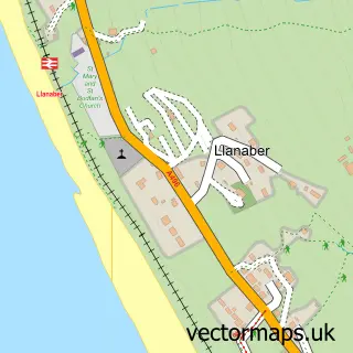
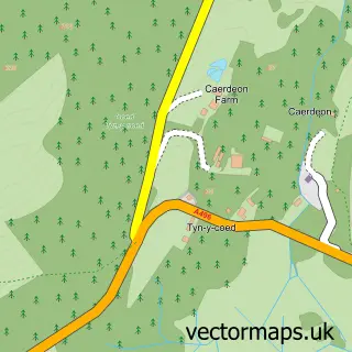
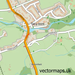
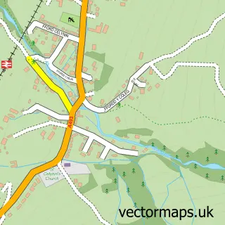
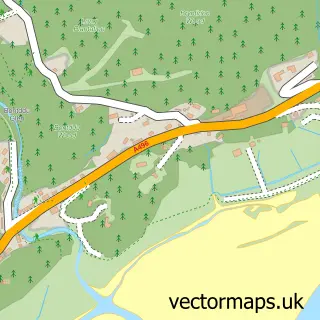
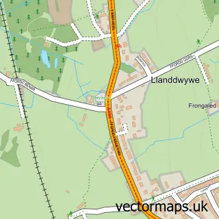
This Barmouth street map is a detailed vector street map covering a 750m x 750m area. Select a larger area to create and download your own vector street map of Barmouth.
The 750-metre map sample for Barmouth covers 125 mapped buildings and approximately 9.8 km of road detail, of which 15 named roads are named. The immediate area includes 1 railway station, 5 pubs and 1 MOT station, with 2 within 2 miles. The wider area around Barmouth features 13 tourism points of interest, 27 food and drink venues and 10 hotels. To create a larger or custom map of Barmouth, the map builder lets you define your own coverage area and download editable SVG, PDF and PNG files.
Create a larger editable map of Barmouth
Choose any area you need and generate a high-quality vector map instantly. Perfect for print, planning, design, business and personal use.

This Barmouth street map in Gwynedd is available as downloadable SVG, PDF and PNG map files, or as a printed map for planning, business, display, education, local information and design work. You can also create a larger custom map area using the map selector.
What this Barmouth map sample shows
Barmouth lies within Barmouth Community parish, part of Abermaw ward in the Gwynedd - Gwynedd local authority area. The postcode geography for this area includes the LL postcode area, the LL42 postcode district and the LL42 1 postcode sector. Residents fall under the Betsi Cadwaladr University Health Board for NHS services.
Local features near Barmouth
Within 2 milesAmenities and services in and around Barmouth.
Administrative and postcode information for Barmouth
Barmouth lies within Barmouth Community parish, part of Abermaw ward in the Gwynedd - Gwynedd local authority area. The postcode geography for this area includes the LL postcode area, the LL42 postcode district and the LL42 1 postcode sector. Residents fall under the Betsi Cadwaladr University Health Board for NHS services.
Nearby street map samples around Barmouth

More street maps in Gwynedd
750 metre map area coverage
Boundary, postcode and point of interest information for the 750m x 750m rectangle centred on this sample map.
Boundaries containing map centre
Constituency: Dwyfor Meirionnydd Co Const
District: Gwynedd - Gwynedd
Icb: Betsi Cadwaladr University
Parish: Barmouth Community
Police Force: north wales
Postcode District: LL42
Postcode Sector: LL42 1
Nearby boundaries intersecting sample
No additional intersecting boundaries found.
Postcode coverage
POI category counts
Hotel: 10
Cafe: 9
Flowers And Gifts Shop: 9
Restaurant: 7
Coffee Shop: 6
Landmark And Historical Building: 6
Clothing Store: 5
Fish And Chips Restaurant: 5
Pub: 5
Art Gallery: 4
Sample points of interest
- Davy Jones Locker
- Las Vegas Amusements
- Freshfields Animal Rescue
- Fron House Antiques
- Walter Lloyd Jones Saleroom
- Oriel Gallery
- Paper Swan Studio
- St Johns Hall Gallery
- The Boot Art Space
- Abermaw Quilting and Crafting
- The Fat Buddha Co
- BR Spar Barmouth
Create a larger editable map of Barmouth
This sample shows only a 750 metre area. To create a larger map of Barmouth, use our map builder to choose your own coverage area, add titles and download editable SVG, PDF and PNG files.
Create a custom map of Barmouth