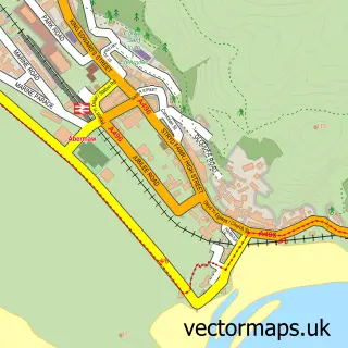
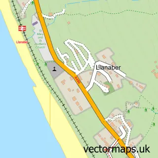
This Y Friog street map is a detailed vector street map covering a 750m x 750m area. Select a larger area to create and download your own vector street map of Y Friog.
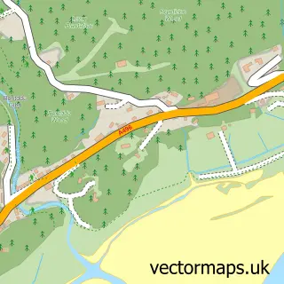
The 750-metre map sample for Y Friog covers 125 mapped buildings and approximately 8.6 km of road detail, of which 8 named roads are named. The immediate area includes 1 railway station and 1 MOT station within 2 miles. The wider area around Y Friog features 3 tourism points of interest, 1 hotel and 3 campsites within 2 miles. To create a larger or custom map of Y Friog, the map builder lets you define your own coverage area and download editable SVG, PDF and PNG files.
Create a larger editable map of Y Friog
Choose any area you need and generate a high-quality vector map instantly. Perfect for print, planning, design, business and personal use.

This Y Friog street map in Gwynedd is available as downloadable SVG, PDF and PNG map files, or as a printed map for planning, business, display, education, local information and design work. You can also create a larger custom map area using the map selector.
What this Y Friog map sample shows
Y Friog lies within Arthog Community parish, part of Llangelynin ward in the Gwynedd - Gwynedd local authority area. The postcode geography for this area includes the LL postcode area, the LL38 postcode district and the LL38 2 postcode sector. Residents fall under the Betsi Cadwaladr University Health Board for NHS services.
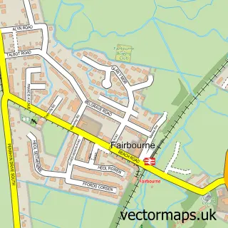
Local features near Y Friog
Within 2 milesAmenities and services in and around Y Friog.
Administrative and postcode information for Y Friog
Y Friog lies within Arthog Community parish, part of Llangelynin ward in the Gwynedd - Gwynedd local authority area. The postcode geography for this area includes the LL postcode area, the LL38 postcode district and the LL38 2 postcode sector. Residents fall under the Betsi Cadwaladr University Health Board for NHS services.
Nearby street map samples around Y Friog

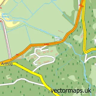
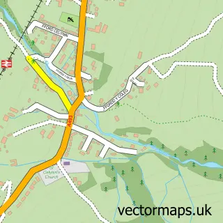
More street maps in Gwynedd
750 metre map area coverage
Boundary, postcode and point of interest information for the 750m x 750m rectangle centred on this sample map.
Boundaries containing map centre
Constituency: Dwyfor Meirionnydd Co Const
District: Gwynedd - Gwynedd
Icb: Betsi Cadwaladr University
Parish: Arthog Community
Police Force: north wales
Postcode District: LL38
Postcode Sector: LL38 2
Nearby boundaries intersecting sample
Postcode District: LL39
Postcode Sector: LL39 1
Postcode coverage
POI category counts
Campground: 2
Education: 2
Automotive Repair: 1
Holiday Rental Home: 1
Hotel: 1
Kids Recreation And Party: 1
Landmark And Historical Building: 1
Topic Concert Venue: 1
Train Station: 1
Sample points of interest
- Fairbourne Motors
- Ynys Faig Camping And Caravan Site
- Ynys Faig Camping and Caravan Site
- Fairbourne Primary School
- School Bro Idris
- Bryn Heulog
- Bryn Meurig Farmhouse
- Bwlchgwyn Farm Pony Trekking Centre
- Friog
- Panteinion Hall
- Fairbourne
Create a larger editable map of Y Friog
This sample shows only a 750 metre area. To create a larger map of Y Friog, use our map builder to choose your own coverage area, add titles and download editable SVG, PDF and PNG files.
Create a custom map of Y Friog