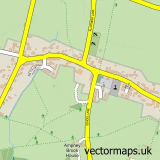
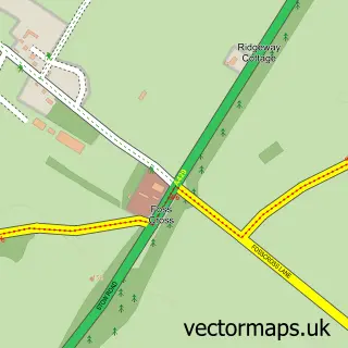
This Barnsley street map is a detailed vector street map covering a 750m x 750m area. Select a larger area to create and download your own vector street map of Barnsley.
The 750-metre map sample for Barnsley covers 84 mapped buildings and approximately 32.8 km of road detail, of which 1 named road are named. The immediate area includes 1 pub. The wider area around Barnsley features 1 tourism point of interest, 2 food and drink venues and 3 hotels. To create a larger or custom map of Barnsley, the map builder lets you define your own coverage area and download editable SVG, PDF and PNG files.
Create a larger editable map of Barnsley
Choose any area you need and generate a high-quality vector map instantly. Perfect for print, planning, design, business and personal use.

This Barnsley street map in Gloucestershire is available as downloadable SVG, PDF and PNG map files, or as a printed map for planning, business, display, education, local information and design work. You can also create a larger custom map area using the map selector.
What this Barnsley map sample shows
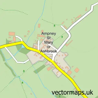
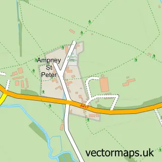
Barnsley lies within Barnsley Cp parish, part of The Ampneys & Hampton ward in the Cotswold District local authority area. The postcode geography for this area includes the GL postcode area, the GL7 postcode district and the GL7 5 postcode sector. Residents fall under the Nhs Gloucestershire Integrated Care Board for NHS services.
Local features near Barnsley
Within 2 milesAmenities and services in and around Barnsley.
Administrative and postcode information for Barnsley
Barnsley lies within Barnsley Cp parish, part of The Ampneys & Hampton ward in the Cotswold District local authority area. The postcode geography for this area includes the GL postcode area, the GL7 postcode district and the GL7 5 postcode sector. Residents fall under the Nhs Gloucestershire Integrated Care Board for NHS services.
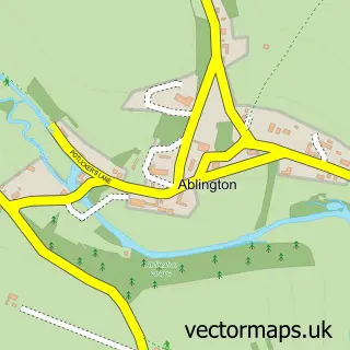
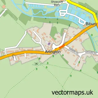
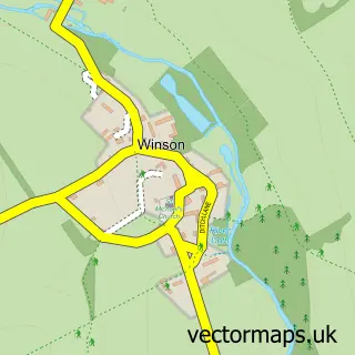
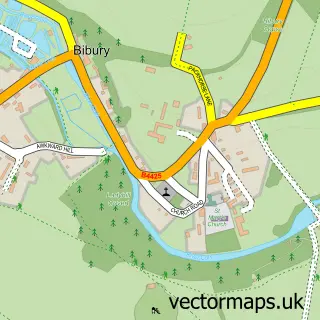
Nearby street map samples around Barnsley

More street maps in Gloucestershire
750 metre map area coverage
Boundary, postcode and point of interest information for the 750m x 750m rectangle centred on this sample map.
Boundaries containing map centre
Constituency: South Cotswolds Co Const
County: Gloucestershire County
District: Cotswold District
Icb: NHS Gloucestershire ICB
Parish: Barnsley CP
Police Force: gloucestershire
Postcode District: GL7
Postcode Sector: GL7 5
Ward: The Ampneys & Hampton Ward
Nearby boundaries intersecting sample
No additional intersecting boundaries found.
Postcode coverage
POI category counts
Hotel: 3
Anglican Church: 1
Assisted Living Facility: 1
Campground: 1
Cottage: 1
Gastropub: 1
Naturopathic Holistic: 1
Pub: 1
Restaurant: 1
Retirement Home: 1
Sample points of interest
- St Mary, Barnsley
- Greyhound Farmhouse
- The T Barn
- Claypot Cottage
- The Boot
- Barnsley House
- Greyhound Barn
- THE PIG-in the Cotswolds
- Herbs for Healing
- The Village Pub
- The Potager
- Greyhound Farmhouse
Create a larger editable map of Barnsley
This sample shows only a 750 metre area. To create a larger map of Barnsley, use our map builder to choose your own coverage area, add titles and download editable SVG, PDF and PNG files.
Create a custom map of Barnsley