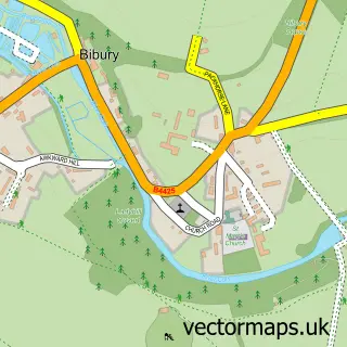
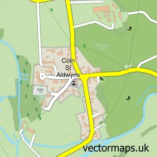
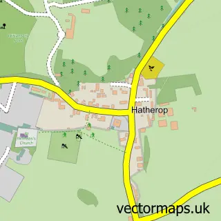
This Arlington street map is a detailed vector street map covering a 750m x 750m area. Select a larger area to create and download your own vector street map of Arlington.
The 750-metre map sample for Arlington covers 112 mapped buildings and approximately 10.4 km of road detail, of which 3 named roads are named. The immediate area includes 1 pub. The wider area around Arlington features 2 food and drink venues and 1 hotel. To create a larger or custom map of Arlington, the map builder lets you define your own coverage area and download editable SVG, PDF and PNG files.
Create a larger editable map of Arlington
Choose any area you need and generate a high-quality vector map instantly. Perfect for print, planning, design, business and personal use.

This Arlington street map in Gloucestershire is available as downloadable SVG, PDF and PNG map files, or as a printed map for planning, business, display, education, local information and design work. You can also create a larger custom map area using the map selector.
What this Arlington map sample shows
Arlington lies within Bibury Cp parish, part of Coln Valley ward in the Cotswold District local authority area. The postcode geography for this area includes the GL postcode area, the GL7 postcode district and the GL7 5 postcode sector. Residents fall under the Nhs Gloucestershire Integrated Care Board for NHS services.
Local features near Arlington
Within 2 milesAmenities and services in and around Arlington.
Administrative and postcode information for Arlington
Arlington lies within Bibury Cp parish, part of Coln Valley ward in the Cotswold District local authority area. The postcode geography for this area includes the GL postcode area, the GL7 postcode district and the GL7 5 postcode sector. Residents fall under the Nhs Gloucestershire Integrated Care Board for NHS services.
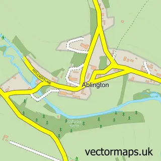
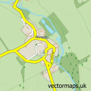
Nearby street map samples around Arlington

More street maps in Gloucestershire
750 metre map area coverage
Boundary, postcode and point of interest information for the 750m x 750m rectangle centred on this sample map.
Boundaries containing map centre
Constituency: North Cotswolds Co Const
County: Gloucestershire County
District: Cotswold District
Icb: NHS Gloucestershire ICB
Parish: Bibury CP
Police Force: gloucestershire
Postcode District: GL7
Postcode Sector: GL7 5
Ward: Coln Valley Ward
Nearby boundaries intersecting sample
No additional intersecting boundaries found.
Postcode coverage
POI category counts
Bed And Breakfast: 1
Business Manufacturing And Supply: 1
Cafe: 1
Car Dealer: 1
Church Cathedral: 1
Ev Charging Station: 1
Event Photography: 1
Fish Farm: 1
Hotel: 1
Parking: 1
Sample points of interest
- Cotteswold House
- Arlington Mill
- The Twig Bibury
- The Classic Motor Hub
- Arlington Baptist Church
- Fuller Smith & Turner - The Swan Hotel Bibury
- Bibury Aerials
- Bibury Trout Farm
- The Swan Hotel
- Awkward Hill
- Bibury Plumbing & Heating
- The Catherine Wheel at Bibury
Create a larger editable map of Arlington
This sample shows only a 750 metre area. To create a larger map of Arlington, use our map builder to choose your own coverage area, add titles and download editable SVG, PDF and PNG files.
Create a custom map of Arlington