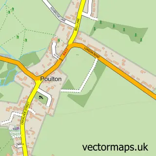
This Fairford street map is a detailed vector street map covering a 750m x 750m area. Select a larger area to create and download your own vector street map of Fairford.
The 750-metre map sample for Fairford covers 326 mapped buildings and approximately 29.5 km of road detail, of which 26 named roads are named. The immediate area includes 1 GP surgery, 6 pubs and 3 MOT stations within 2 miles. The wider area around Fairford features 12 food and drink venues, 1 hotel and 1 campsite within 2 miles. To create a larger or custom map of Fairford, the map builder lets you define your own coverage area and download editable SVG, PDF and PNG files.
Create a larger editable map of Fairford
Choose any area you need and generate a high-quality vector map instantly. Perfect for print, planning, design, business and personal use.

This Fairford street map in Gloucestershire is available as downloadable SVG, PDF and PNG map files, or as a printed map for planning, business, display, education, local information and design work. You can also create a larger custom map area using the map selector.
What this Fairford map sample shows
Fairford lies within Fairford Cp parish, part of Lechlade, Kempsford & Fairford South ward in the Cotswold District local authority area. The postcode geography for this area includes the GL postcode area, the GL7 postcode district and the GL7 4 postcode sector. Residents fall under the Nhs Gloucestershire Integrated Care Board for NHS services.
Local features near Fairford
Within 2 milesAmenities and services in and around Fairford.
Administrative and postcode information for Fairford
The local authority covering Fairford is Cotswold District, within the county of Gloucestershire. The settlement lies within Lechlade, Kempsford & Fairford South ward and Fairford Cp civil parish. The GL7 postcode district and GL7 4 postcode sector serve the immediate area. NHS provision in the area is delivered through Great Western Hospitals Nhs Foundation Trust.
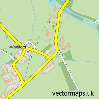
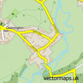
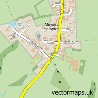
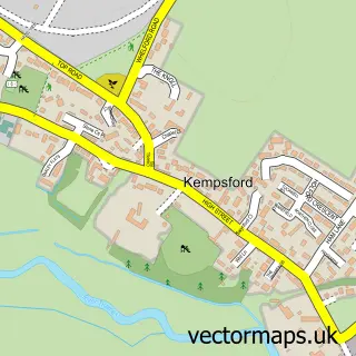
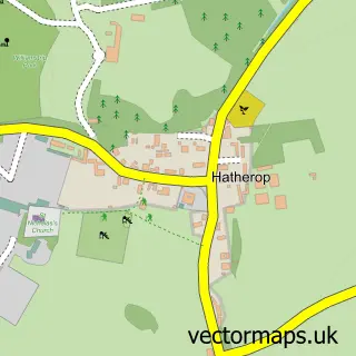
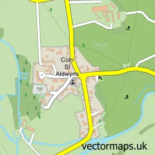
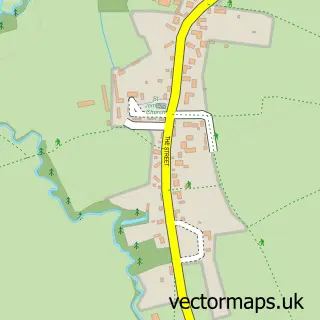
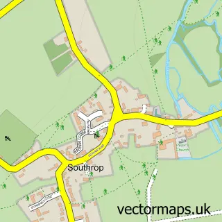
Nearby street map samples around Fairford

More street maps in Gloucestershire
750 metre map area coverage
Boundary, postcode and point of interest information for the 750m x 750m rectangle centred on this sample map.
Boundaries containing map centre
Constituency: South Cotswolds Co Const
County: Gloucestershire County
District: Cotswold District
Icb: NHS Gloucestershire ICB
Parish: Fairford CP
Police Force: gloucestershire
Postcode District: GL7
Postcode Sector: GL7 4
Ward: Fairford North Ward
Nearby boundaries intersecting sample
Ward: Lechlade, Kempsford & Fairford South Ward
Postcode coverage
POI category counts
Pub: 6
Coffee Shop: 5
Beauty Salon: 4
Doctor: 4
Assisted Living Facility: 3
Community Services Non Profits: 3
Convenience Store: 3
Flowers And Gifts Shop: 3
Rental Kiosks: 3
Retail: 3
Sample points of interest
- The Family Osteopath
- St Mary's Church, Fairford
- Kim Sutton Gallery
- The Coln Gallery
- Cross Stitch Guild
- Beech View Care Home
- Diva Care
- The Orchard
- Lloyds Bank
- Barbury barbershop
- Fabulash Beauty Studio
- Face Beauty Company
Create a larger editable map of Fairford
This sample shows only a 750 metre area. To create a larger map of Fairford, use our map builder to choose your own coverage area, add titles and download editable SVG, PDF and PNG files.
Create a custom map of Fairford